• Succor Creek State Natural Area is a remote scenic destination at the eastern Oregon border
• Succor Creek Canyon is an excellent spot for hiking, rockhounding, and camping
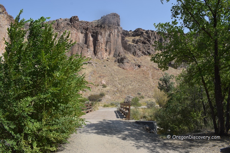
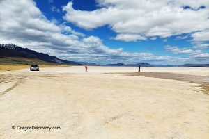
Succor Creek State Natural Area is a remote destination at the state's eastern border, hidden deep within the Jordan Valley at the bottom of the Succor Creek Canyon. Towering multicolored cliffs of volcanic tuff surround this beautiful oasis amidst the vast expanse of the high desert.
Approximately 15.5 million years ago volcanic activity shaped the Three Fingers Caldera.
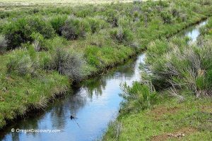
Succor Creek starts in the Owyhee Mountains of Idaho, running 23 miles to the Oregon border, where it then meanders northward for another 39 miles within Oregon. Crossing the Oregon-Idaho border once more, it finally enters the Snake River near the town of Homedale.
Succor Creek Canyon is well-known among rockhounds, hikers, campers, and nature lovers.
Driving 52 miles through this scenic rugged canyon is an exciting adventure by itself. You can explore the canyon's geology carved by the creek and numerous caves sculpted in cliffs by wind, water, and time. You can enjoy panoramic vistas of the Owyhee Mountains and the canyon below if you hike or mountain bike ride to the canyon rim.
Succor Creek Road is partially dirt and gravel. The 4WD vehicle is recommended. The north part of Succor Creek Road from Highway 201, 8.5 miles south of Adrian to the Succor Creek Campground, is broader and less twisted than the southern part. Use this route if you drive trailers or RVs. Most two-wheel drive high-clearance cars can make this trip during dry seasons. Driving from Jordan Valley is longer, and the road is narrow and winding in some places.
ATV is popular here. Interestingly, any off-road vehicle is prohibited in state parks but outside of the park, where the Bureau of Land Management (BLM) manages the land, ATVs are allowed.
Succor Creek Rockhounding
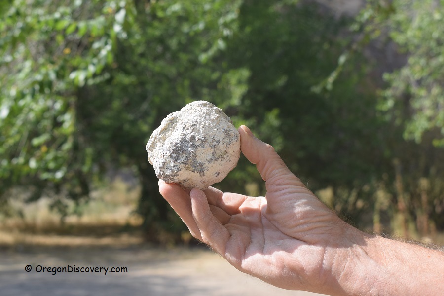
The area is well-known among rock collectors for its extensive thunderegg bed. The deposit sits on the other side of the creek. Walk over the wooden bridge, and you will see paths leading up the hill. Use tools to dig through the hard rhyolite matrix.
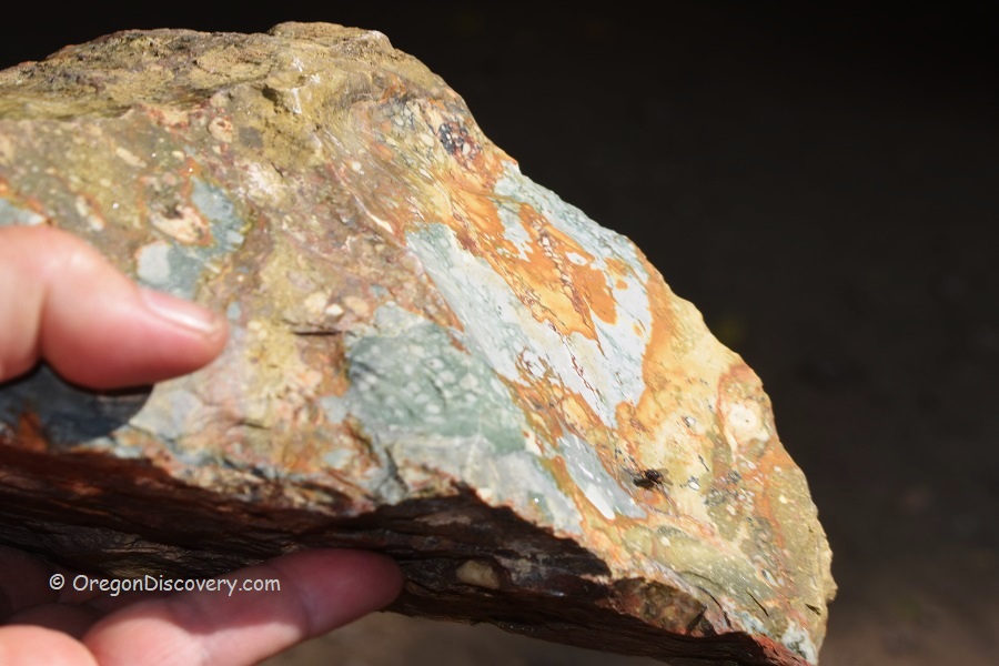
Besides thundereggs, the area is rich in picture jasper, plant fossils, petrified wood, jasper, and agate. There are many sites to collect interesting material along Succor Creek Road. Check gravel areas, dry washes, and hill slopes.
Succor Creek: Camping, Lodging, & Vacation Rentals
Succor Creek Campground offers primitive camping on both sides of the creek. Camping on the east side of the stream is for tents or vans, and the west side is for trailers or RVs. There are picnic tables and a vault toilet but no drinking water or cell phone services. The bridge is open for pedestrians, vans, and cars to get to the campground on the right from the bridge.
The closest lodging is available 18 miles away in Homedale, Idaho or 50 miles away in Ontario, Oregon.
Affordable vacation rentals for short and long term stay at Homedale
Affordable vacation rentals for short and long term stay at Ontario
Know Before You Go
Succor Creek State Natural Area is a remote desert destination that requires careful preparations. There are no services for 50 miles, including gas stations, drinking water, or cell phone reception.
- Extreme summer heat and no shade can lead to dehydration and heatstroke. Take plenty of water and avoid extended exposure to direct sunlight and excessive heat
- There is poison ivy along both sides of the creek
- Rattlesnakes are common here, so pay attention to your surroundings.
Check desert safety tips before heading out.
Succor Creek State Natural Area | Facts
Open: Year-round, the best time: May-October
Managed by: Oregon State Parks and BLM
Rocks & Minerals: Thundereggs, picture jasper, agate, plant fossils, and petrified wood
Tools: Geology pick, hammer, shovel
Amenities: Vault toilet, picnic tables
Activities: Rockhounding, hiking, and camping
Distance from the parking: Short
Road access: A high-clearance 4WD vehicle is recommended
Day-use fees: None
Elevation: 2,800 ft (853 m)
Succor Creek State Natural Area is located:
- 18 miles southeast of Homedale, Idaho
- 174 miles east of Burns
- 420 miles southeast of Portland.
Adventures Nearby
Directions to Succor Creek State Natural Area
From Homedale in Idaho,
- Drive 5 miles west on Highway 19 in Idaho and 1.8 miles on Highway 201 in Oregon to Succor Creek Road
- Turn left (south) onto Succor Creek Road and continue 15.5 miles to the day-use and campground.

