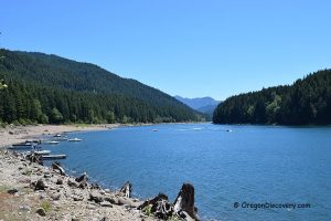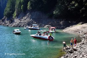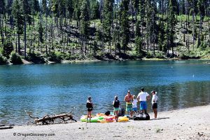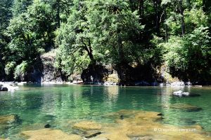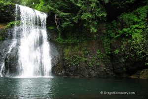
• Blowout Creek offers swimming in a deep pool of the narrow deep canyon
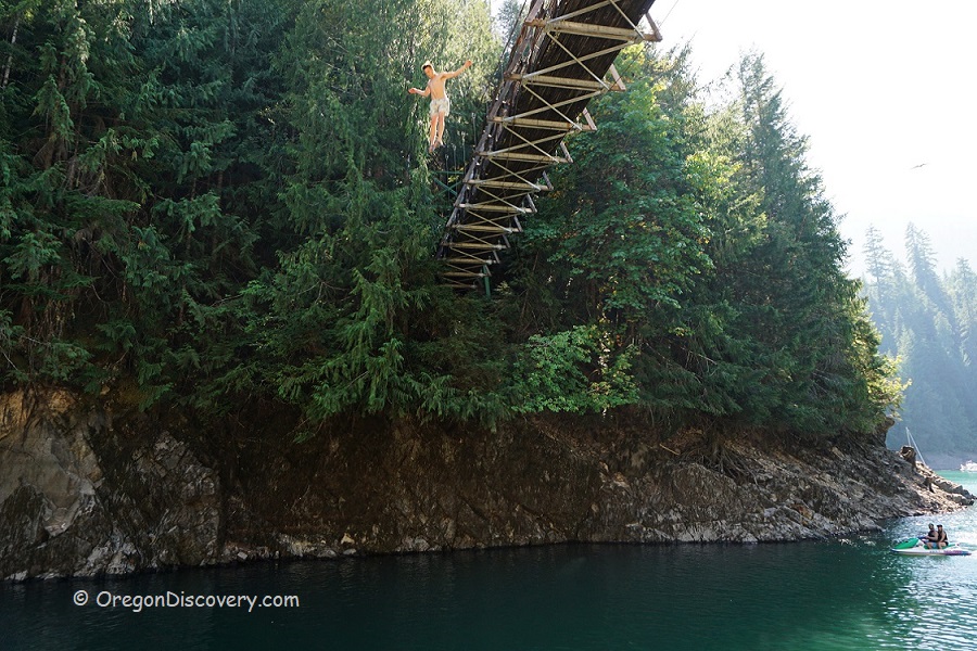
• Popular among boaters, rope swingers, and bridge-cliff divers
The Blowout Creek arm of Detroit Lake in the Willamette National Forest is a popular spot among boaters, rope swingers, and bridge-cliff divers.
If you travel by car, a quarter-mile hike from the parking area is required to access this spot. A beaten path runs down through the coniferous forest to a suspension footbridge that rises about 50 feet above the water surface (depends on the water level).
According to the Oregon Historical Society, Blowout Creek was named because of a “great landslide nearby resembling a blowout of the mountainside”. The first version of this bridge was built during the Detroit Dam Construction in the 1950s on the south inlet of Detroit Lake. In 1998, the 170-foot new wooden steel bridge was constructed across the narrow deep canyon of Blowout Creek.

The trail from the parking area to the Blowout Bridge is a remnant of the old Volcano Trail that earlier connected the Little North Fork Santiam River and the Quartzville Creek. Throughout the time, new roads construction and logging work destroyed once developed trail systems including the Volcano Trail. This trail runs just over the bridge on the right-hand side and soon disappears. For this reason, the Blowout Footbridge is called the Bridge to Nowhere.
On the left of the bridge, there is a steep and slippery path down to white scree slopes - cliff jumping and rope swinging spot. This place can be challenging and not recommended for kids. More convenient swimming may take place on the right side of the bridge. The clear emerald-green water is typically warm at the peak of the summer season.

A narrow and deep gorge below the bridge is a place for where thrill seekers try their luck. The water level underneath the bridge varies and bridge jumping can be extremely dangerous. We certainly don't recommend jumping here.
Cautions: Bridge and cliff jumping are associated with risks, please use caution and make safe decisions.
No garbage service is available on the site. Please pack out all your trash.

Blowout Creek | Facts
Open: Year-round from dawn until dusk
Managed by: US Forest Service, US Army Corps of Engineers
Amenities: None
Distance from the parking: 0.25 miles
Road access: Any passenger vehicle
Day-use fees: None
Activities: Swimming, boating, hiking, and fishing
Accommodations: No overnight camping at Blowout Creek; Southshore Campground - 3 miles; Cove Creek Campground - 4 miles
Affordable vacation rentals for short and long term stay at Salem
Elevation: 1,600 ft (488 m)
Blowout Creek Recreation Area is located:
- 62 miles east of Salem
- 84 miles west of Bend
- 107 miles southeast of Portland
- 111 miles northeast of Eugene.
Swimming hole rating: 3 out of 5
Body of Water: River, reservoir
Water quality: Transparent; Blue-green algae can be present
Current: Light
Depth: Deep and shallow
Beach: Scree and rocks
Water T° (summer): Cool to warm
Video
Adventures Nearby
Directions to Blowout Creek
From the city of Detroit,
- Head east on Highway 22
- Just before milepost 53, turn right on Blowout Road and drive down 6.6 miles to a fork Blowout Road and Forest Road 060
- Bear right and continue 0.8 miles on FR 010 to the parking area on the left.
It takes about 10 minutes (0.25 miles) to hike from the parking to the Blowout suspension bridge and swimming area.
GPS (Blowout Bridge): 44°40.567' W 122°11.194' | 44.6758, -122.1863
GPS (Parking Area): 44°40.655' W 122°11.087' | 44.677577, -122.184777


