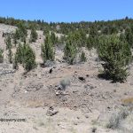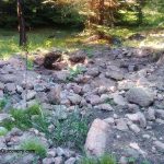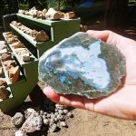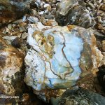
Central Oregon just east of the Cascade Mountains is known to be a popular rock and mineral collecting area. Productive sites of Crook, Jefferson, and Deschutes Counties offer a variety of gem-quality minerals including famous thundereggs, petrified wood, limb cast, agate, jasper, and opal. Opal is found at Opal Butte in Morrow County but this area is closed to public diggings.
- Jefferson County has popular minerals collecting sites including fossils, petrified wood, geodes, thunder eggs, agate and jasper.
- Deschutes County is well-known for petrified wood.
- The Warm Spring Reservation in Wasco and Jefferson Counties produces black and white colored agate.
- Crook County is the most productive area with minerals such as petrified wood, limb casts, thunder eggs, agate, and jasper.
A wide variety of minerals, semiprecious gemstones, and rocks is available on public lands managed by the Bureau of Land Management (BLM) and U.S. Forest Service. Also, there are privately owned mines, open to the public for fee digging. There may be private claims in some areas. Check it before you go.
Rock & Mineral Collecting - Central Oregon
Here is a list of the most popular sites, available for recreational rockhounding. But before accessing the sites and collecting any rocks, contact the local government agency to find out the most up-to-date information and regulations.
Eagle Rock
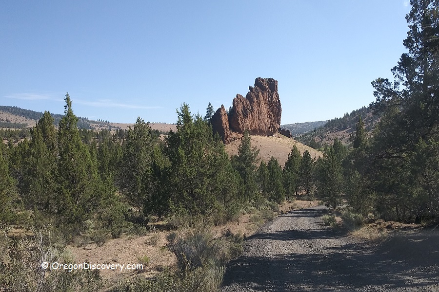
Eagle Rock is a rugged area framed by juniper-covered hills and dramatic rock formations. This area offers a challenging hike, stunning views, and the chance to find treasures.
Eagle Rock Rockhounding - A Rugged Trail to the Collecting Site
Congleton Hollow
Congleton Hollow is a rockhounding haven offers enthusiasts the chance to discover opalized petrified wood and limb casts in striking shades of blue, pink, and green.
Dendrite Butte
Dendrite Butte is is a well-known destination for rockhounding enthusiasts. This Limb Cast Area is particularly famous for its limb casts featuring vibrant shades of blue, pink, and green, as well as the presence of opalized and petrified wood.
Whistler Springs
Whistler Springs Rockhounding Site is hidden deep in the beautiful ponderosa pine forest within the boundary of the Ochoco National Forest. The area produces agate-filled thundereggs.
Whistler Springs: Discover Agate-Filled Thundereggs in the Ochoco National Forest
Lucky Strike Mine
Lucky Strike Mine is a remote fee-digging area in the Ochoco Mountain. This mine offers a unique opportunity to collect stunning thundereggs, known for their diverse colors and intricate patterns.
White Fir Springs
White Fir Springs is a public rockhounding site in the Ochoco National Forest. The area is known for producing thundereggs with jasper cores in shades of yellow, beige, brown, reddish, or purple. known for unique jasper-filled thundereggs.
White Fir Springs: A Top Thunderegg Rockhounding Destination
Bear Creek
Bear Creek Rockhounding Area is well-known for an abundance of petrified wood. The specimens found here range in color from black, brown, white, and gray to yellow.
Fisher Canyon
Fisher Canyon is a scenic high desert site set up for public rockhounding. The area produces calcite, jasper, agate, quartz, common opal, leaf fossils, and petrified wood.
Maury Mountain Agate Beds
Maury Mountain Agate Beds is a popular destination designated as a public rockhounding area. The site produces beautiful varieties of moss agates with gold, green and red hues; dendritic and white plume agates can be found.
Hampton Butte
Hampton Butte is notable location among rock collectors for its rich deposits of unique green petrified wood and limb cast. The wood is typically more jasperized and opalized, though agatized specimens can occasionally be discovered.
Hampton Butte: A Rockhound's Haven for Unique Green Petrified Wood
Wheeler High School Fossil Beds
Wheeler High School Fossil Beds are an easily accessible digging site and open to the public for a small donation fee. The bed produces plant fossils including metasequoia, the ancestors of sycamore, maples, oaks, rose, and alder.
Wheeler High School Fossil Beds - Digging for Fossils in Fossil City
Polka Dot Agate Mine
Polka Dot Agate Mine is famous agate beds that produce orbicular agates, characterized by their round, multicolored dots, which create a striking appearance. In addition, the mine is also known for yielding unique large thundereggs.
Polka Dot Agate Mine: Discover the Hidden Gem of Central Oregon
Richardson’s Rock Ranch
Richardson’s Rock Ranch is renowned for its world-famous thunderegg deposits. Among its most prized finds is the Priday Plume Agate, featuring brilliant red and yellow plumes encased in a transparent matrix. The ranch’s rock shop offers a diverse selection of geological finds from both Oregon and around the world.
Oregon Rockhounding Map
When rockhounding in Central Oregon, it's essential to follow local regulations and respect private property boundaries. Additionally, it's a good idea to bring appropriate tools, safety gear, and be prepared for outdoor conditions. Before planning a trip, consider checking with local rockhounding clubs or forums for the latest information and tips on the best spots to explore in the area.
Adventures Nearby
DISCLAIMER
The Oregon Rockhounding Map provides information about some of the many rockhounding sites of the state of Oregon. Information is subject to change at any time, and the Oregon Discovery team cannot guarantee that is either current or correct. Be aware that there are some mine claims and private lands near the public collecting areas. Determining the land status and minerals' collection rules at the site is your responsibility.
Currently, this map is incomplete but new rockhounding sites and related details will be added in the future.
Marli B. Miller. Roadside Geology of Oregon. 2014. Mountain Press Publishing Company Missoula, Montana.
Lars Johnson. Rockhounding Oregon: A Guide to the State's Best Rockhounding Sites (Rockhounding Series). 2014. A Falcon Guide.
Dan R. Lynch, Bob Lynch. Rocks & Minerals of Washington and Oregon: A Field Guide to the Evergreen and Beaver States (Rocks & Minerals Identification Guides). 2012.


