
Jones Creek Day-Use Area and Campground Along Oregon’s Wilson River
2026-07-21
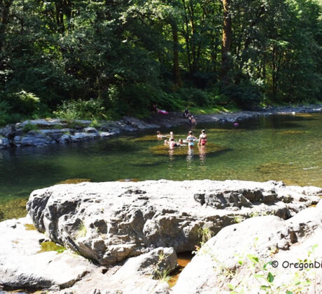
• Jones Creek is one of the largest campgrounds in Oregon’s Tillamook State ForestContinue Reading
• Jones Creek is one of the largest campgrounds in Oregon’s Tillamook State ForestContinue Reading
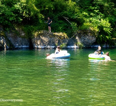
Mills Bridge Boat Launch is a public river access site and a popular recreation spotContinue Reading
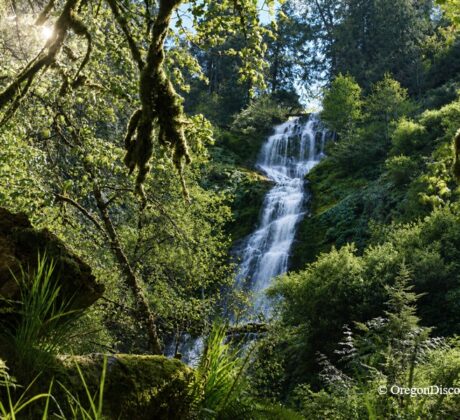
• Munson Creek Falls is a towering waterfall on a rainforest trailContinue Reading
• Cape Meares Beach & Bayocean Peninsula is scenic beach and a buried ghost townContinue Reading

• Cape Arago Lighthouse is a decommissioned beacon on a rocky island near CharlestonContinue Reading
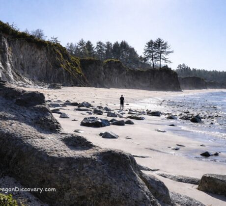
• Lighthouse Beach is an uncrowded shoreline with views of Cape Arago Lighthouse Lighthouse BeachContinue Reading
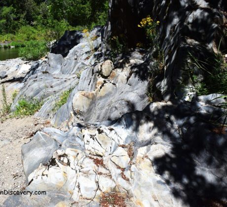
• The South Umpqua River offers excellent rockhounding with easy access to extended gravel barsContinue Reading
• Happy Camp Beach is a peaceful spot known for its open shoreline and bayContinue Reading

• Muriel O. Ponsler Memorial State Scenic Viewpoint gives access to about 5 miles ofContinue Reading

• Nesika Beach, combined with Ophir Beach, is a nearly 6‑mile stretch of the shoreContinue Reading
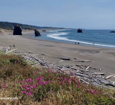
• Myers Creek Beach main landmark is unique sea stack called Cave Rock Arch MyersContinue Reading

Ocean Beach Day Use Site is a small, Forest-Service–managed day-use picnic area, located 10 milesContinue Reading