The Lake County rock hounding sites are known for their great deposits of rocks and minerals, attracting thousands of rock collectors each year. Some of the areas are located on the public lands managed by the Bureau of Land Management (BLM) and U.S. Forest Service. Also, there are privately owned mines, open to the public for rockhounding for fees.
Popular Lake County Rockhounding Sites
Glass Butte Obsidian
 Located just 57 miles west of Burns, Glass Butte and Little Glass Butte are favorite among rock collectors for opportunities to find gem-quality obsidian. There are numerous spots in this area where you can find a variety of obsidian including exceptional gold, silver, rainbow, red, black, mahogany, lace, and fire sheen. Also, you can find large pieces of double-flow obsidian.
The best season for rockhounding would be from spring to fall.
Crane Creek Thunderegg Bed in the Fremont National Forest

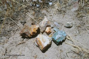
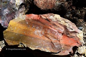
A Crane Creek thunderegg digging area is hidden deep in the Fremont National Forest. This area produces nodules filled with blue agate sometimes tiny pieces of quartz crystals. The external layer is reddish-brown. The bed is not easily accessible because the forest road crosses the Crane Creek a few times and can be washed out in some places.
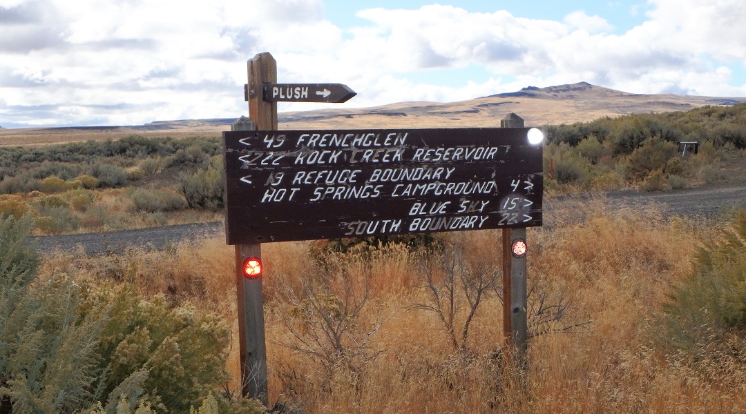
Flook Lake - Hart Mountain Antelope Refuge
 Rockhounding is permitted in the Hart Mountain Antelope Refugee for surface rocks collecting only. Do not to exceed seven pounds per person per day. Digging with any implement and blasting is prohibited. Always check up-to-date regulations and current conditions.
Other Hart Mountain rockhounding collection sites: the western side of the Warner Mountains, DeGarmo Canyon, and Arsenic Canyon.
Free Oregon Sunstone Public Collection
 Oregon Sunstone Public Collection Area is only one free public place in Oregon where visitors can collect sunstones for personal use.
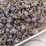
Recognized as the state gem, Oregon Sunstones are unique transparent or translucent feldspar that contains small amounts of copper inclusions. Rare and beautiful Oregon Sunstones are found only in the high desert of South-Central and Southeastern Oregon.
 Fee Oregon Sunstone Collection Sites
Fee Oregon Sunstone Collection Sites offer opportunities to find rare and prized colored sunstones. Currently, three mines are available to the public: Dust Devil, Spectrum Sunstone and Double Eagle Mines.