
Big Obsidian Flow – Hike Oregon’s Youngest Lava Flow Made of Volcanic Glass!
2026-07-11
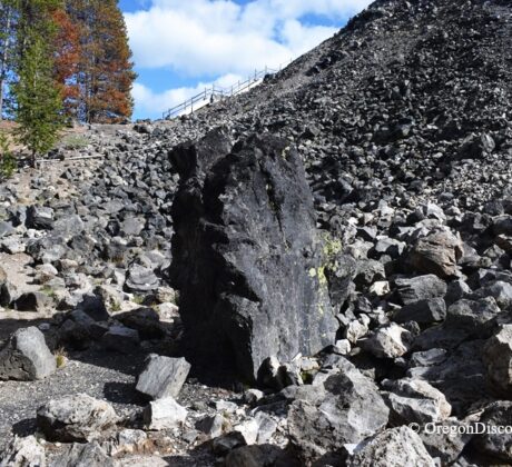
• The Big Obsidian Flow covers one square mile of shiny black obsidian and paleContinue Reading
• The Big Obsidian Flow covers one square mile of shiny black obsidian and paleContinue Reading
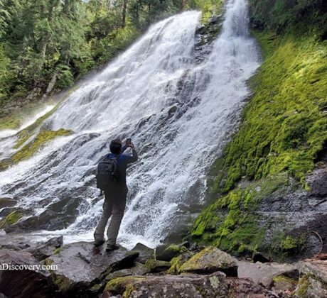
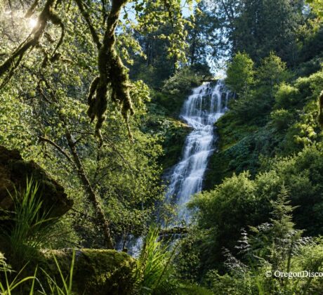
• Diamond Creek Falls drops in a glittering fan among old-growth forests in Oregon’s CascadesContinue Reading
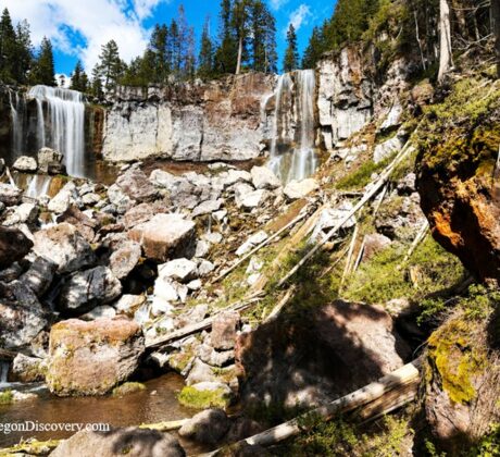
• Paulina Falls is a rare 80-foot double waterfall split into two cascading plumes byContinue Reading
• Sahalie Falls plunges 100 feet over lava that dammed Clear Lake just 3,000 yearsContinue Reading
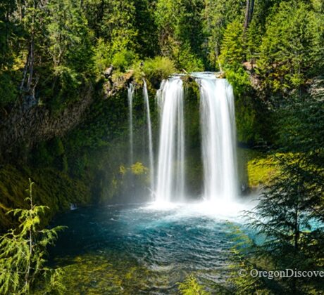
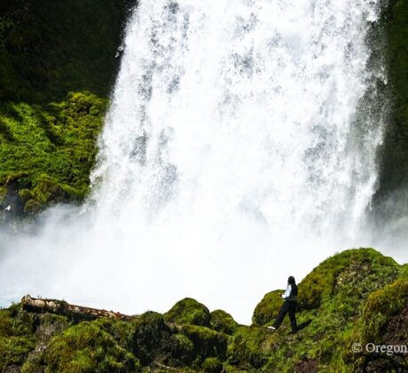
• Koosah Falls is a powerful 75-foot waterfall famous for its emerald pool and seasonalContinue Reading
• Munson Creek Falls is a towering waterfall on a rainforest trailContinue Reading
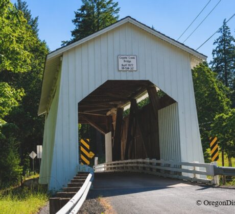
• Coyote Creek Covered Bridge is a historic 1922 Howe truss bridge Coyote Creek CoveredContinue Reading
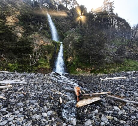
• Larson Creek Falls is a tall, narrow waterfall that drops directly onto Short BeachContinue Reading
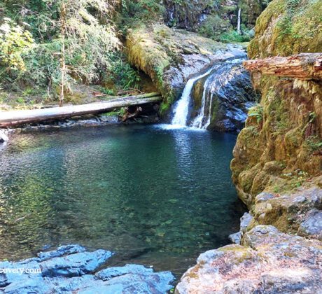
• Blue Hole Falls is a hidden waterfall and natural swimming hole on Brice CreekContinue Reading

• Cape Arago Lighthouse is a decommissioned beacon on a rocky island near CharlestonContinue Reading
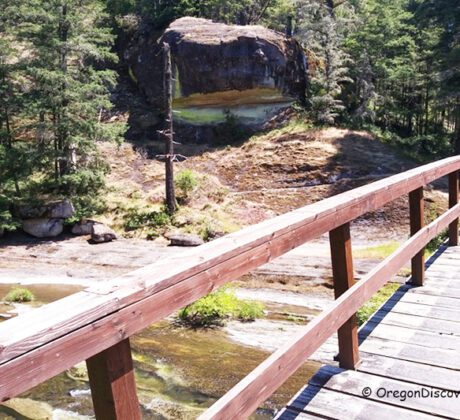
• Wolf Creek Falls and Trailhead are a part of Wolf Creek Falls Recreation AreaContinue Reading

• Cedar Crossing Bridge is a cozy, scenic stop over Johnson Creek in Southeast PortlandContinue Reading