
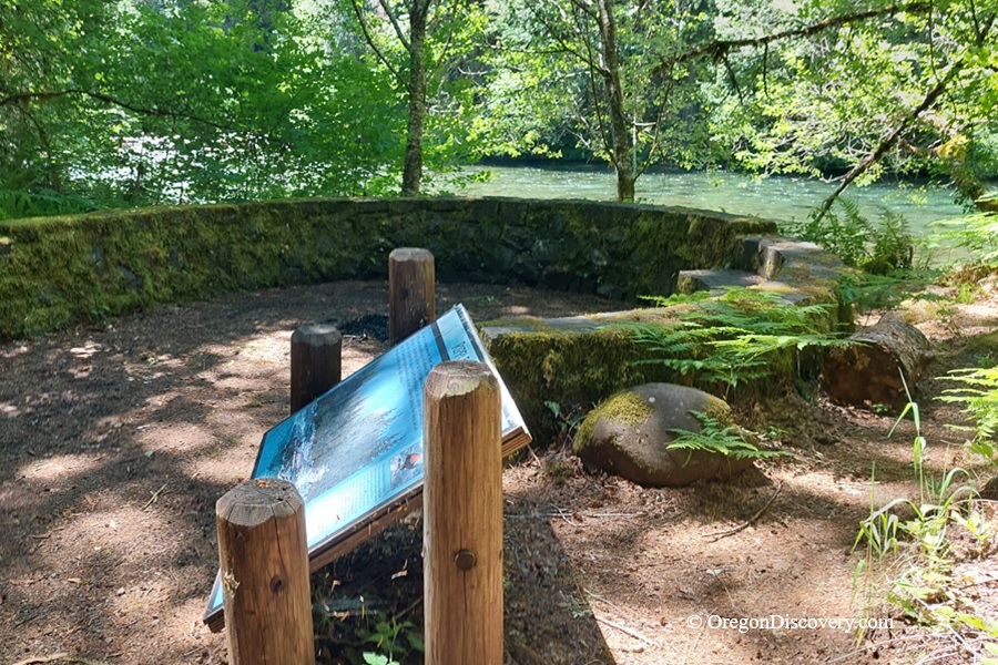
The McKenzie River Trail is a scenic route through old-growth forest, lava fields, and river canyons


The McKenzie River Trail is one of Oregon's most famous outdoor adventures, stretching 26 miles from Clear Lake down to McKenzie Bridge in the Cascade Mountain Range.
Managed by the Forest Service, this scenic path follows the Wild and Scenic McKenzie River past waterfalls, lava fields, old-growth forest, and the stunning Tamolitch Blue Pool.
Year-round access on the lower section, world-class mountain biking, and easy trailheads off Highway 126 make the McKenzie River Trail in Oregon a bucket-list stop for hikers and bikers.
Things to Do on the McKenzie River Trail
Hiking
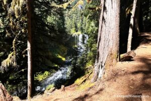
The 26-mile point-to-point trail is rated hard, mostly because of its length. But here's the good news. The trail crosses several side roads off Highway 126, so you can hike as little or as much as you want.
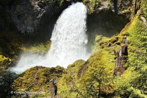
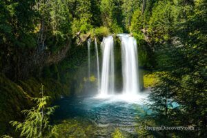
Want crowds and big sights? The upper section holds Sahalie Falls and Koosah Falls.
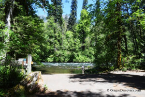
Want peace and quiet? The lower section runs through quiet riverside forest. About 10 miles of the lower trail stay snow-free year-round.
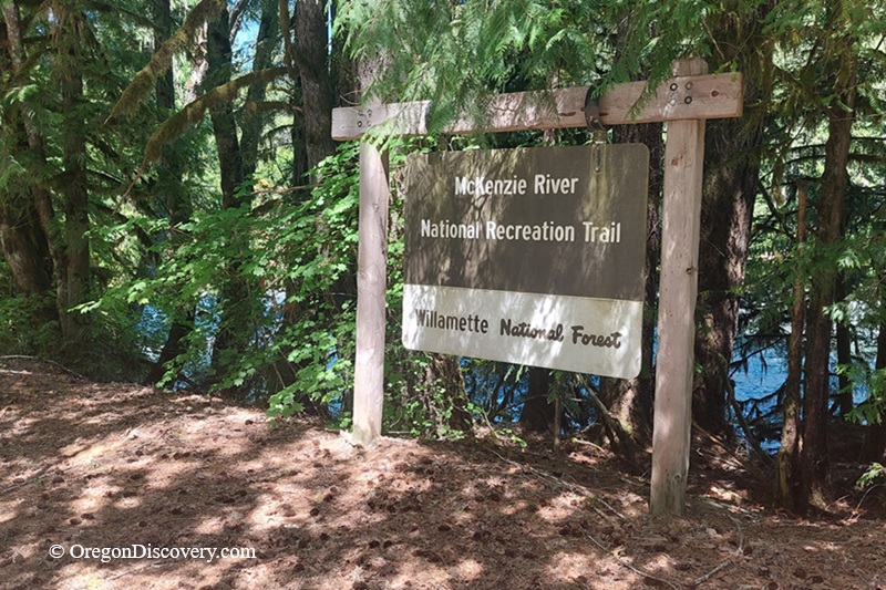
Mountain Biking
Did you know this trail is often called the #1 mountain bike trail in America? Ridden north to south, you'll gain about 1,600 feet and drop roughly 3,200 feet, so most of it rolls downhill.
Bikers rate it moderate, though a few rough spots near the top will test you. The best riding runs from early summer to late fall.
Tamolitch Blue Pool
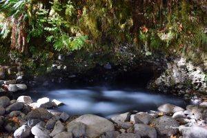
The Blue Pool is the trail's star attraction. The water glows an unreal shade of blue after traveling 3 miles underground through an old lava tube.
The hike in runs about 4 miles through mossy, classic Oregon forest. "Tamolitch" means "tub" in Chinook, and you'll see why.
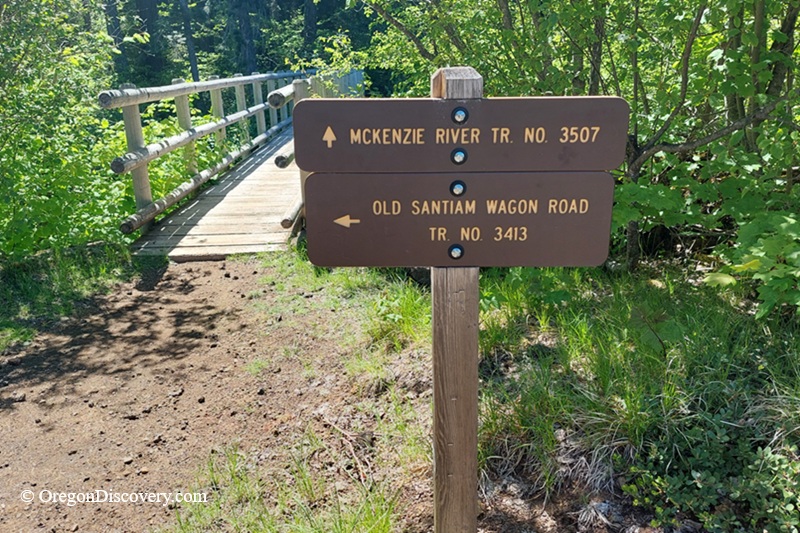
Waterfalls Loop Trail Connection
The Waterfalls Loop Trail connects directly to the McKenzie River Trail near its upper section, between mile markers 20.4 and 21.9 on the trail log.
This 2.2-mile loop links two powerful waterfalls. Sahalie Falls thunders down about 100 feet, while Koosah Falls drops roughly 75 feet just downstream. Both run year-round and were formed by a lava flow that poured through the valley around 3,000 years ago.
The hike is easy, with only about 400 feet of elevation gain. You can also drive to parking lots at both falls and still soak in the views.
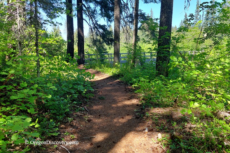
McKenzie River Trail Camping & Lodging
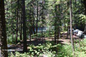
Planning a multi-day trip? Several campgrounds are located along the McKenzie River Trail corridor.
Paradise Campground is closest to the lower trailhead near McKenzie Bridge and offers riverside campsites beneath towering Douglas fir trees.
Olallie Campground sits a few miles upriver along the McKenzie River, offering shaded forest sites and a quiet riverside setting.
Trail Bridge Campground sits farther upstream along Trail Bridge Reservoir and is popular for fishing, boating, and easy trail access.
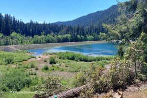
Ice Cap Campground is located near Carmen Reservoir at an elevation of about 3,000 feet. It provides drinking water, vault toilets, and a quiet forest setting.
Coldwater Cove Campground is closest to the upper trailhead at Clear Lake, offering lakeside campsites beside the area's famous turquoise waters.
Prefer a roof over your head? Sisters and Bend offer a wide range of hotels, cabins, and vacation rentals within a scenic drive of the trail.
McKenzie River Trail | Facts
- 5 miles north of McKenzie Bridge
- 60 miles east of Eugene
- 88 miles southeast of Salem.
Adventures Nearby

Directions to McKenzie River Lower and Upper Trailhead
From Eugene,
- Take OR-126 East and follow it about 50 miles
- Continue past Blue River and the McKenzie River Ranger Station
- Watch for McKenzie River Trail access and parking areas along the highway on the left
- For the upper trailhead, continue about 21 miles on OR-126 to Forest Road FS-2699; turn right and follow it to the parking area.
Phone: 541-822-6272
GPS (Lower Trailhead): N 44°10.629', W 122°8.143' | 44.1772, -122.1357
GPS (Upper Trailhead): N 44°23.622', W 122°0.090' | 44.3937, -122.0015