
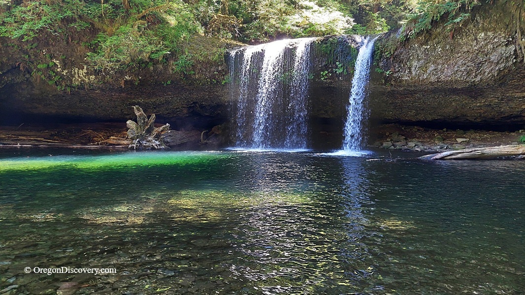
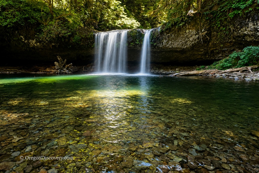
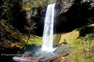
Upper Butte Creek Falls plunges over a deeply undercut basalt ledge, forming a walk-behind grotto


Tucked into the Santiam State Forest near Scotts Mills, Upper Butte Creek Falls is one of Oregon's walk-behind waterfalls.
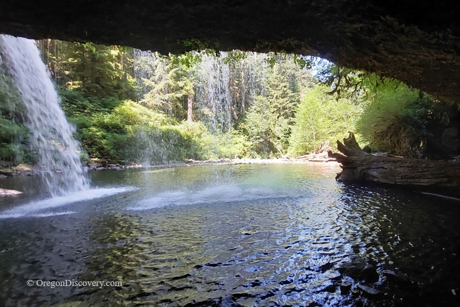
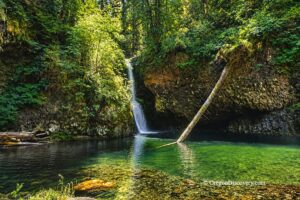
Butte Creek slides over a wide, uniform basalt ledge and drops 26 feet into a deep green pool. The ledge is so deeply undercut that a large grotto opens up behind the curtain of water. You can walk right in.
Experienced kayakers who run this drop can even paddle through the falls.
The first time I stepped behind it, water poured a foot in front of my face, and I barely got wet. Have you ever stood behind a waterfall? It's a strange, fun feeling.
Average flow here is about 150 cubic feet per second, and the base sits at 1,827 feet in elevation. The Oregon Department of Forestry manages the land and trail system around the falls, which is a treat after driving past large clear-cuts to get here.
Best Time to Visit Upper Butte Creek Falls
From early spring through early summer, Butte Creek runs full and loud, making the grotto feel like standing inside a drum.
Summer is my favorite for a different reason. The water flow drops, the pool becomes clearer, and the trail dries out.
Fall brings color.
Winter works too, since the falls are open year-round, but the gravel road and trail can get muddy and slick.
Swimming at Upper Butte Creek Falls
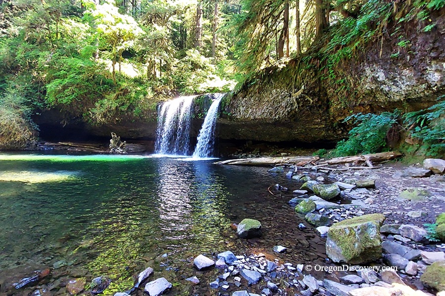
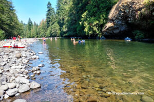
In summer, the pool below the falls can be inviting, but the water stays cold, even in August.
Wear water shoes. The rocks and the path into the grotto are slippery.
Hiking to Upper Butte Creek Falls
Here's the best part: the upper falls sit only about 0.25 miles from the trailhead. That's roughly a 10-minute walk on a short, well-maintained path through mossy forest.
At the first fork, stay left. At the second fork, stay right to reach the Upper Falls viewpoint. A short side path drops down to the base and into the grotto.
The Butte Creek Falls Trail is less than a mile and continues to the viewpoint for the roughly 80-foot Lower Butte Creek Falls so that you can see both waterfalls on the same hike.
🟡 The short spur to the base is steep and stays wet all year. Wear shoes with good traction.
Driving to the Upper Butte Creek Falls Trailhead
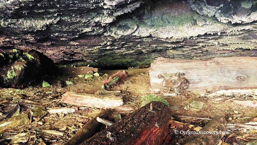
Crooked Finger Road no longer provides access to this area, so you have to come from the north through Scotts Mills and Maple Grove Road.
The final forest roads are gravel, with washboard and potholes. Most passenger cars should be able to make the drive in dry weather if you take it slow.
After heavy rain, a higher-clearance vehicle may be the smarter choice.
Cell service? Don't count on it. Save your directions and download offline maps before you leave town.
Upper Butte Creek Falls Camping and Lodging
Camping is not allowed directly at the falls, along the trail, or along the road.
The closest camping option is Butte Creek Campground, an Oregon Department of Forestry campground about half a mile upstream from the trailhead. The small campground has three campsites.
For more camping options and additional facilities, Silver Falls State Park is another convenient choice.
Hotels and other lodging options are available in Silverton and Salem.
Upper Butte Creek Falls | Facts
Open: Year-round (conditions vary by season)
Managed by: Oregon Department of Forestry, Santiam State Forest
Amenities: 2 vault toilets at the trailhead and campground
Activities: Hiking, swimming, kayaking, nature viewing, photography
Day-use fees: None
Elevation: 1,827 ft (557 m)
Upper Butte Creek Falls Distance From Major Cities:
- 18 miles southeast of Scotts Mills
- 30 miles east of Silverton
- 45 miles northeast of Salem.
Adventures Nearby





Directions to Upper Butte Creek Falls Trailhead
From Scotts Mills,
- Take Maple Grove Road east for 7.2 miles, then turn right onto Sawtell Road
- Follow Sawtell Road for about 5 miles to a fork, then bear left and continue on South Family Camp Road (unsigned, gravel)
- Stay on the main road at every junction and follow the signs for Butte Creek Falls; the trailhead is 6.2 miles ahead
- On the trail, go left at the first fork and right at the second for the upper falls.