
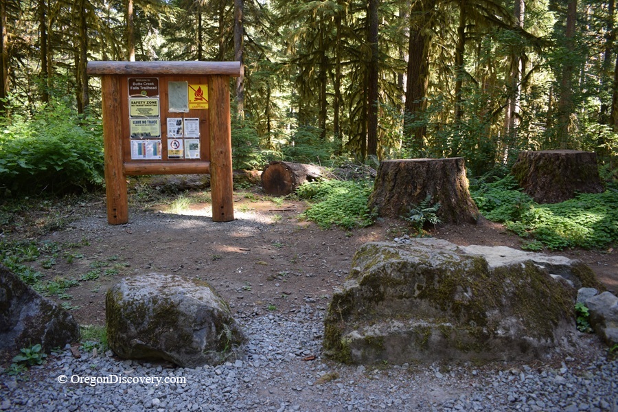
Butte Creek Falls Trail is a short forest loop leading to two scenic waterfalls through the lush Santiam State Forest


The Butte Creek Falls Trail may be one of the best short waterfall hikes in the Oregon Cascade foothills. Tucked inside the Santiam State Forest and managed by the Oregon Department of Forestry, this short loop winds through mossy old-growth forest to Upper and Lower Butte Creek Falls.
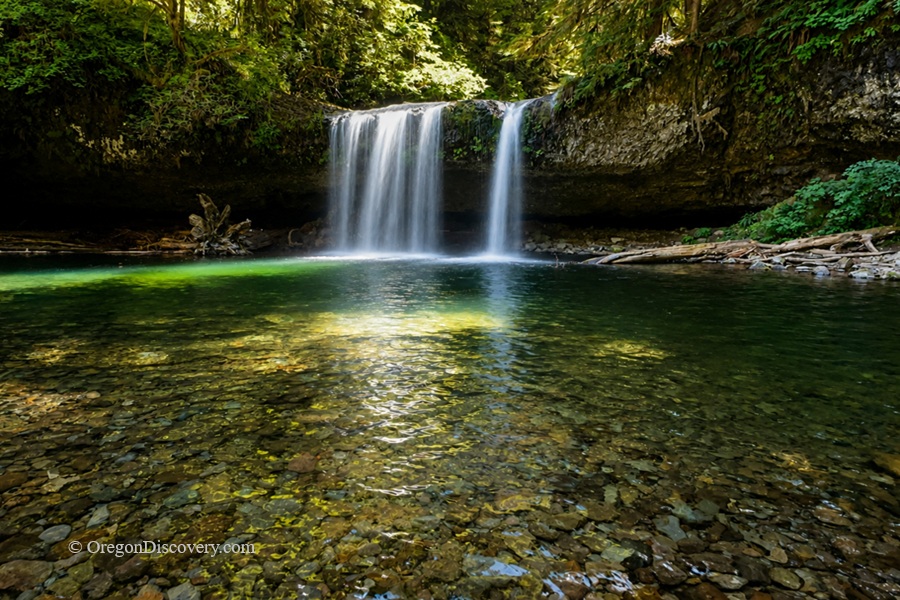
Upper Butte Creek Falls hides a basalt cavern that you can often walk behind. Lower Butte Creek Falls plunges into a rocky bowl below a dramatic cliff-top viewpoint.
Free parking, a free campground, two vault toilets, and a little more than an hour's drive from Salem or Portland make this a convenient waterfall getaway.
I hiked it on a warm summer morning and had the whole place to myself.
Standing behind a waterfall before breakfast? Hard to beat.
Hiking the Butte Creek Falls Trail
The main trail forms a short loop with several short spur trails. From the trailhead near the restrooms, take the right-hand path. It drops steeply for about 100 yards before flattening out.
At an unmarked junction, turn left and follow the trail for about 0.25 miles to the spur for Upper Butte Creek Falls. The path to the right leads to the campground, which is about 0.5 miles away.
Water has carved a cave beneath the basalt ledge, and in normal flows, you can often step behind the curtain of falling water. In summer, you can wade and splash in the creek, but the water remains cold year-round.
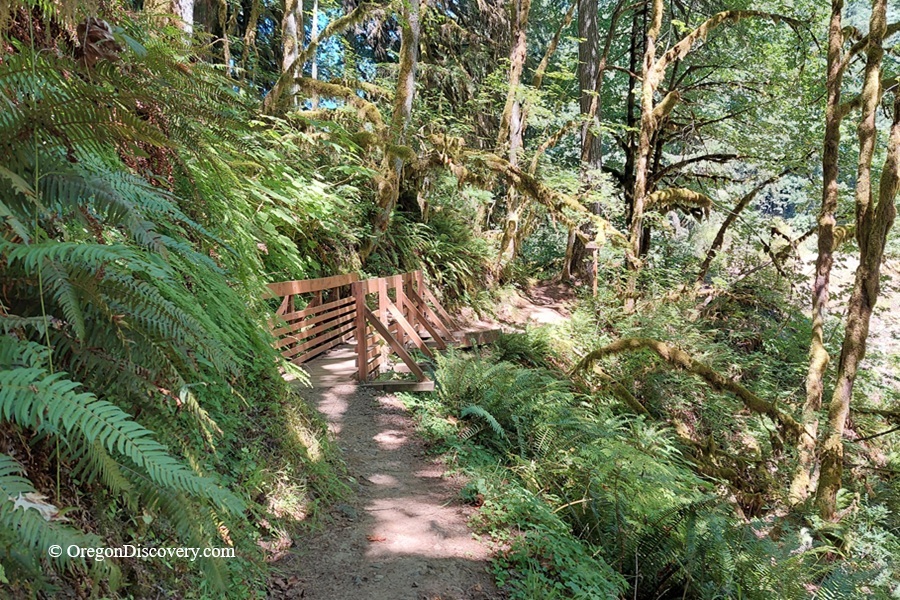
Return to the junction and continue for another 0.35 miles toward Lower Butte Creek Falls. This stretch winds through lush forest and crosses a log footbridge. Finally, the maintained trail ends at a caution sign.
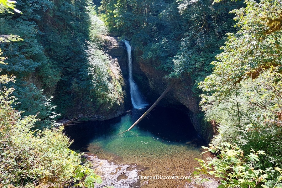
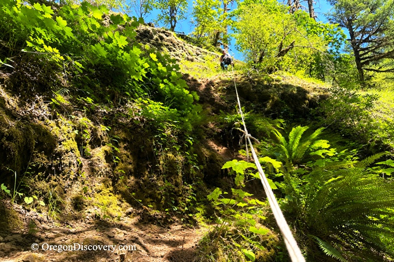
About 100 yards beyond the end of the maintained trail, an unmaintained path leads to a rocky promontory about 150 feet above the base of the waterfall.
🔴 Caution: Don't underestimate this short section. Although the path is relatively wide in places, it is rocky and can be very slippery, especially near the cliff edge. There are no handrails or maintained trail features beyond the warning sign, and a slip could result in a serious fall. The risk is even greater when the rocks and ground are wet.
⚠️ This section is not suitable for everyone, especially young children, older visitors, or anyone who has difficulty with uneven or slippery terrain. Use your judgment, stay well away from the cliff edge, and turn back if conditions are wet or you don't feel comfortable.
Trail Conditions
The 2020 Beachie Creek Fire heavily burned parts of this area, and crews reopened the trails on June 21, 2024. You'll see signs of the fire along the drive, but much of the trail corridor remains green.
One more thing: Weyerhaeuser closed the old west-side road to vehicles in 2018, so visitors now approach the falls from the east. Forest roads may close during storms, hazardous conditions, or active logging operations.
Butte Creek Falls Trail Camping and Lodging
The closest camping option is Butte Creek Campground, an Oregon Department of Forestry campground about half a mile upstream from the trailhead. The small campground has three campsites.
For more camping options and additional facilities, Silver Falls State Park is another convenient choice.
Lodging options is available in Silverton and Salem.
Butte Creek Falls Trail | Facts
Open: Year-round, when access roads are open
Managed by: Oregon Department of Forestry, Santiam State Forest
Amenities: Trailhead parking, 2 vault toilets, free campground 0.5 miles away
Activities: Hiking, waterfall viewing, picnicking, photography, camping
Distance from the parking: Vary
Road access: Any passenger vehicle
Day-use fees: None
Elevation: Ranges from about 1,550 ft (472 m) at Butte Creek Falls overlook to 1,870 ft (570 m) at the trailhead
Butte Creek Falls Trail is located:
- 12 miles east of Scotts Mills
- 30 miles northeast of Salem
- 60 miles southeast of Portland.
Adventures Nearby





Directions to Butte Creek Falls Trailhead
From Scotts Mills,
- Take Maple Grove Road east for 7.2 miles, then turn right onto Sawtell Road
- Follow Sawtell Road for about 5 miles to a fork, then bear left and continue on South Family Camp Road (unsigned, gravel)
- Stay on the main road at every junction and follow the signs for Butte Creek Falls; the trailhead is 6.2 miles ahead
- On the trail, go left at the first fork and right at the second for the upper falls.