
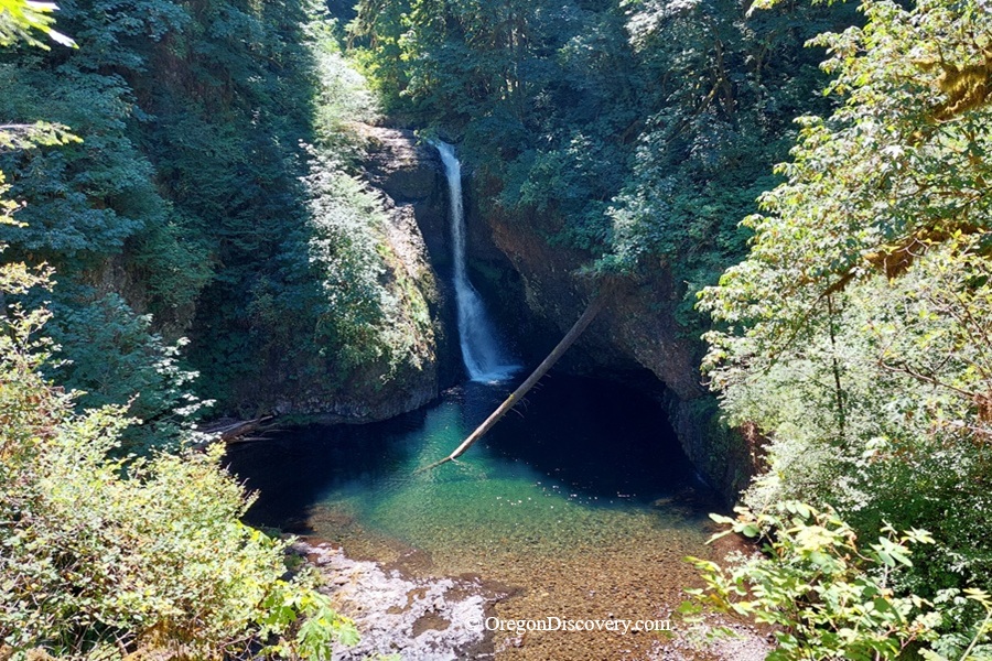
Lower Butte Creek Falls is a powerful waterfall surrounded by old-growth forest and dramatic cliffs


Tucked into the Santiam State Forest southeast of Scotts Mills, Lower Butte Creek Falls is the highlight of the Butte Creek Falls trail system. The trail system also includes Upper Butte Creek Falls.
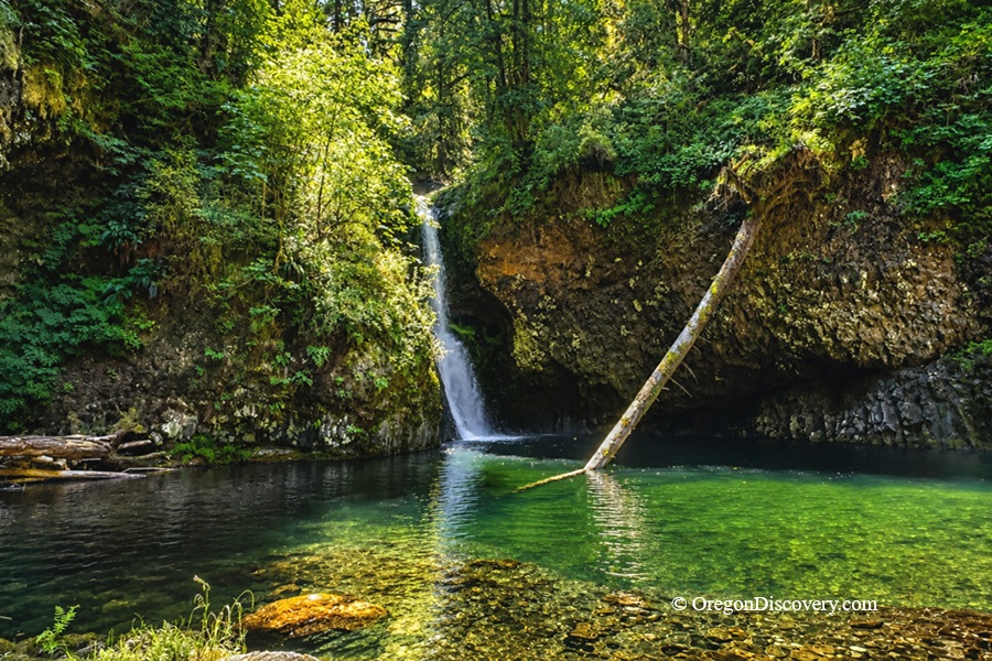
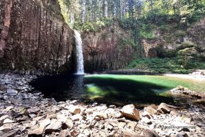
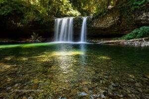
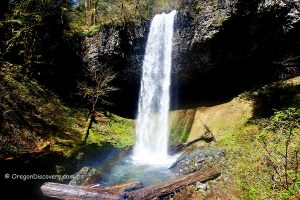
Butte Creek drops 78 feet into a wide plunge pool. The viewpoint sits on the opposite cliff - a rocky promontory about 150 feet above the base of the waterfall and directly in front of the falls.
From this vantage point, you can see the creek make a huge horseshoe-shaped bend between the two cliffs, creating a dramatic view of the waterfall.
Hiking to Lower Butte Creek Falls
Lower Butte Creek Falls is about 0.6 miles from the trailhead, and the full loop is about 1.1 miles.
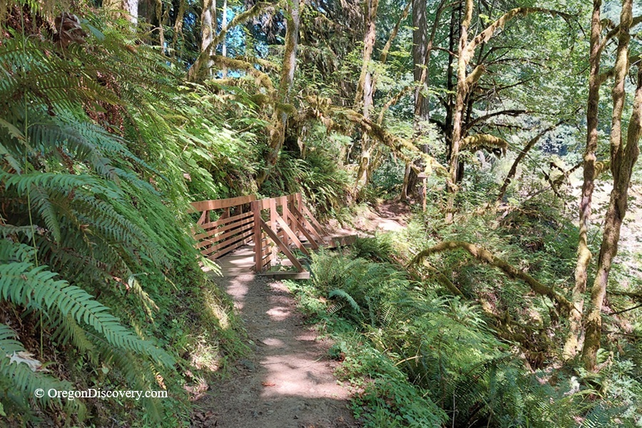
The trail runs through beautiful old-growth forest and follows Butte Creek toward Upper and Lower Butte Creek Falls. Stay on the marked trail and follow the signs at the junctions.
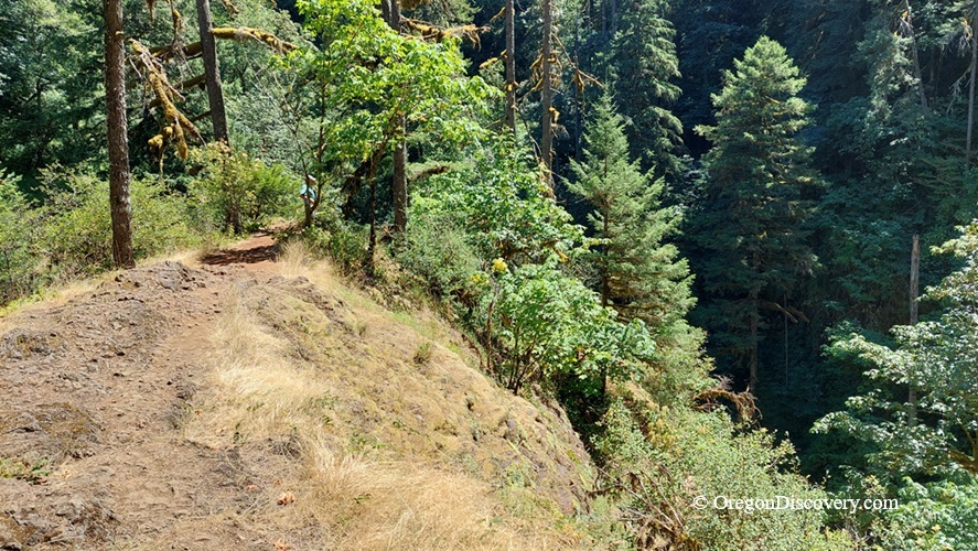
As mentioned above, the Lower Butte Creek Falls viewpoint is located about 100 yards beyond the end of the maintained trail. The route to the viewpoint is unmaintained and becomes increasingly rough and uneven.
🔴 Use extra care once the maintained trail ends. The unmaintained path can be steep, slippery, and difficult to follow, especially after rain or when the ground is wet. It can be challenging for older visitors and young children, and it is not a good choice for anyone who is unsteady on their feet. In wet weather, I recommend skipping this section and enjoying the waterfall from the maintained trail.
Getting down to the base of the falls is a different story.
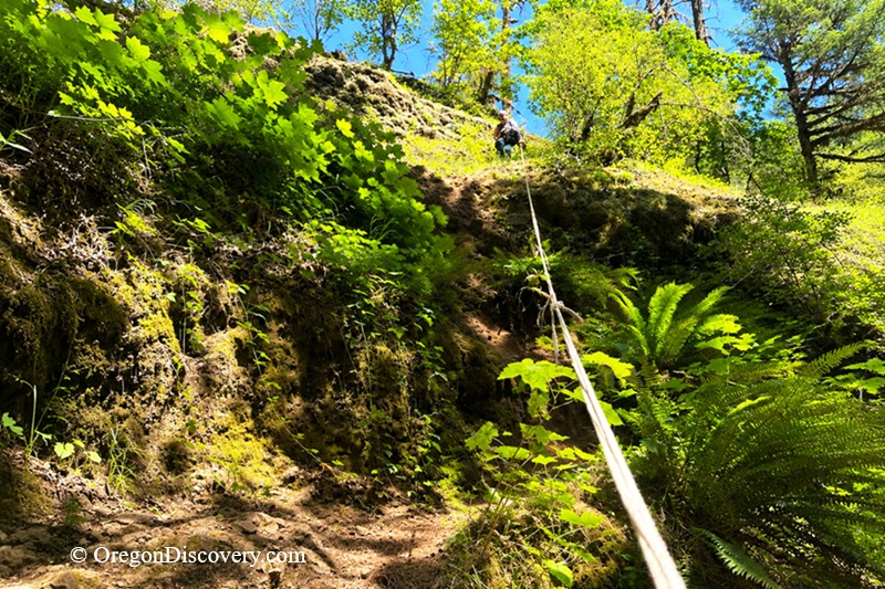
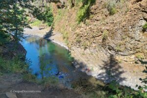
The spur to the bottom is steep and rough, with no handrails. In places, it clings to the cliff edge. Some hikers use ropes tied to trees to help with the descent, but the condition and stability of these ropes are unknown.
🔴 You go at your own risk. The descent to the base is not recommended for young children, older visitors, or anyone uncomfortable with steep, exposed terrain. Avoid it completely in wet or rainy conditions.
Best Time to Visit Lower Butte Creek Falls
The best time to enjoy peak water flow is from March through early June. Snowmelt and rain push a powerful rush of water over the ledge, and you'll hear the rushing water before you see the falls.
Summer is my pick, though. The flow drops, the pool clears, and the trail dries out.
Fall adds color to the basin, while spring brings flowering trees that frame the falls beautifully for photos.
Winter can be rewarding, but the gravel forest roads and trail can become muddy and slippery.
Swimming at Lower Butte Creek Falls
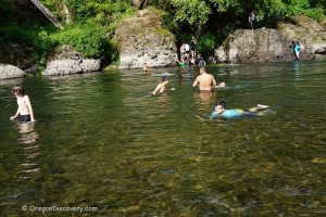
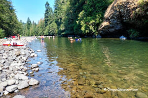
On warm summer days, some visitors cool off in the large plunge pool below the falls.
The water can remain very cold even in summer. Wade in slowly, and never jump into the pool. The water can be difficult to see into, and submerged rocks or changing conditions can make the pool hazardous.
Bring water shoes, because the basalt around the falls can be slick.
Driving to the Butte Creek Falls Trailhead
Crooked Finger Road no longer provides vehicle access to the trailhead. The current approach is through Scotts Mills, using Maple Grove Road, Sawtell Road, and South Family Camp Road.
The final 6 miles are on gravel forest roads that can be rough and potholed. In dry weather, many passenger vehicles can make the drive if driven carefully, but conditions can change quickly. After heavy rain, a higher-clearance vehicle is a better choice.
Access can be restricted during periods of high fire danger, timber operations, or hazardous conditions. Watch for closure signs and follow posted restrictions.
Cell service is unreliable in the area. Save your directions and download offline maps before you leave town.
Lower Butte Creek Falls Camping and Lodging
The closest camping option is Butte Creek Campground, an Oregon Department of Forestry campground about half a mile upstream from the trailhead. The small campground has three campsites.
For more camping options and additional facilities, Silver Falls State Park is another convenient choice.
Lower Butte Creek Falls | Facts
Open: Year-round (conditions vary by season)
Managed by: Oregon Department of Forestry, Santiam State Forest
Amenities: 2 vault toilets at the trailhead and campground
Activities: Hiking, swimming, photography, nature viewing
Day-use fees: None
Elevation: 1,800 ft (550 m)
Upper Butte Creek Falls Distance From Major Cities:
- 18 miles southeast of Scotts Mills
- 30 miles east of Silverton
- 45 miles northeast of Salem.
Adventures Nearby





Directions to Lower Butte Creek Falls Trailhead
From Scotts Mills,
- Take Maple Grove Road east for 7.2 miles, then turn right onto Sawtell Road
- Follow Sawtell Road for about 5 miles to a fork, then bear left and continue on South Family Camp Road (unsigned, gravel)
- Stay on the main road at every junction and follow the signs for Butte Creek Falls; the trailhead is 6.2 miles ahead
- On the trail, go left at the first fork and right at the second for the upper falls.