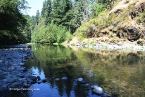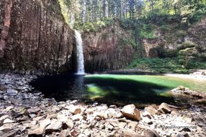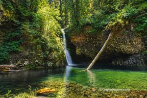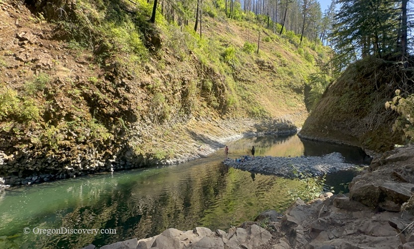
Molalla Eye, Oregon: Scenic Swimming & Fishing Spot on the Molalla River – Molalla Eye Swimming Hole Molalla Eye, Oregon: Scenic Swimming & Fishing Spot on the Molalla River – The picture "Molalla Eye Swimming Hole" shows a peaceful bend in the river, with people standing on a rocky islet in the emerald-green water, surrounded by steep basalt cliffs and sunlit fir trees.
Molalla Eye Swimming Hole

• Molalla Eye is named for its round, dark pool that looks like a giant eye in the basalt rosette

SwimmingFishing OregonHiking Oregon

Molalla Eye, also known as the Molalla Rosette or Basalt Eye, sits along the Molalla River Recreation Corridor, about 10 miles southeast of the city of Molalla. I found it the way most people do. I saw cars on the shoulder and went to look.

So why the name? Walk to the highest point just to the right of the parking area and look down. The river slows as it enters a rounded basin surrounded by a striking basalt rosette. From above, the dark center and pale green rim look remarkably like a giant eye staring back at you.

The pool is noticeably deeper than most swimming spots on this stretch of river, especially in summer. That's why it stays busy.

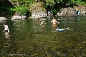
Swimmers use the deep swimming area in the pool, kids paddle in the shallow tail-out, and anglers work the seams.

By late July, the water feels warmer, but it's still refreshing. Cold on the first step, perfect by the third.


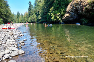
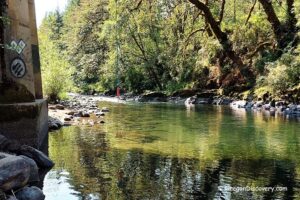
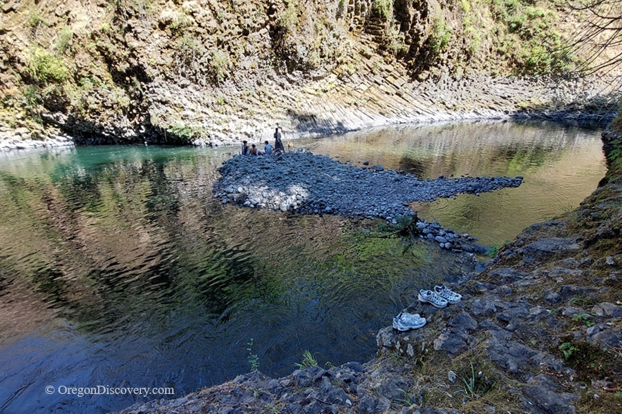
Molalla Eye, Oregon: Scenic Swimming & Fishing Spot on the Molalla River – Molalla Eye Pebble BarMolalla Eye, Oregon: Scenic Swimming & Fishing Spot on the Molalla River – The picture "Molalla Eye Pebble Bar" captures a small group of people gathered on a gray pebble bar in the middle of the gently flowing river, with layered rock walls rising steeply and shoes sitting on the rocks in the foreground
Molalla Eye Pebble Bar

Shade is spotty, and the bank is basalt and rounded boulders, so bring water shoes. There are no restrooms or drinking water here.

There's no cell service in the canyon.

⚠️ Cliff jumping is risky. Winter floods shift boulders and sink logs every year. A pool that was 12 feet deep last August may be 4 feet deep today. Swim the landing zone first, check depth with your feet, never dive headfirst, and skip jumping in spring.


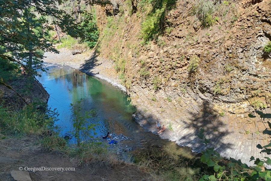
Molalla Eye, Oregon: Scenic Swimming & Fishing Spot on the Molalla River – Molalla Eye Aerial Rim Molalla Eye, Oregon: Scenic Swimming & Fishing Spot on the Molalla River – The picture "Molalla Eye Aerial Rim" is a high perspective shot looking down into the river’s vivid blue-green waters as swimmers relax along the semi-circular stone bank of a narrow, winding canyon.
Molalla Eye Aerial Rim

Molalla River Fishing

The Molalla is known for steelhead fishing, along with trout and bass. Deep pools are where fish rest, so expect to see anglers working the river on summer mornings.

From the mouth to Turner Creek Bridge, the river is open year-round for hatchery Chinook salmon, hatchery steelhead, and coho salmon.

Any steelhead may be kept from July 1 to August 31.

Bait is allowed from May 15 to July 15.

Fishing regulations can change, so check the current Oregon Department of Fish and Wildlife rules before you go.

Molalla River Recreation Corridor
Molalla River Recreation Area, Day-use 11. OregonThe Molalla River Recreation Corridor runs along the scenic upper Molalla River, offering many opportunities to stop and enjoy its clear green waters as the river winds through dramatic basalt and andesite rock formations.

Beyond its natural beauty, the corridor is a popular destination for swimming, hiking, biking, camping, picnicking, whitewater rafting, and fishing.

Molalla River Recreation Corridor in Oregon: Hiking, Swimming & Camping
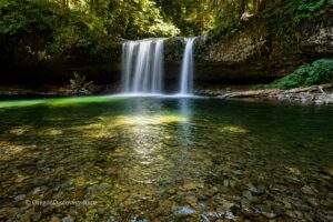


Molalla River Recreation Corridor Camping

Camping is not permitted at this site. Nearby Three Bears and Cedar Grove Campgrounds offer campsites, picnic areas, restrooms, and drinking water.

Both campgrounds feature tent sites with metal fire rings, barbecue grills, and picnic tables. Reservations can be made in advance through Recreation.gov. First-come, first-served campsites are also available, but payment is still required through the mobile app.

Keep in mind that there is no cell service throughout the Molalla River Recreation Area, so plan accordingly.

The campgrounds are open from May through October.


Molalla Eye | Facts

Open: Year-round
Managed by: Bureau of Land Management (BLM)

Amenities: None
Activities: Swimming, fishing, hiking, picnicking

Distance from the parking: Short, steep scramble
Road access: Any passenger vehicle
Day-use fees: None

Elevation: ~890 ft (271 m)

Molalla Eye is located:

  • 10 miles southeast of Molalla
  • 36 miles east of Salem
  • 41 miles southeast of Portland.


Adventures Nearby

Directions to Molalla Rosette

From I-5,

  • Take Exit 271 and turn east onto OR-214 toward Woodburn
  • Drive about 16 miles east on OR-214 and OR-211 to Mathias Road in Molalla
  • Bear right onto Mathias Road and drive 0.2 miles to S Feyrer Park Road
  • Turn left onto S Feyrer Park Road and continue 1.7 miles to S Dickey Prairie Road
  • Turn right onto S Dickey Prairie Road; after 0.2 miles, turn left onto S Molalla Forest Road and continue 6.5 miles to the parking area on the left.

Parking fills by 11 a.m. on hot weekends, so come early.

GPS: N 44°59.954', W 122°29.144' | 44.9993, -122.4857


Leave a Reply

Your email address will not be published. Required fields are marked *

This site uses Akismet to reduce spam. Learn how your comment data is processed.