

• Smith Rock State Park is the most beautiful natural wonder of the Oregon high desert
• One of the most popular sites in the world for rock climbers
Located near Redmond and Terrebonne, the 650-acre Smith Rock State Park is the most beautiful natural wonder of the Central Oregon high desert. A ridge with the highest promontory 3,200-foot (980 m) that rises over the Crooked River Canyon is one of the most popular sites in the world for rock climbers.
Smith Rock Geological and Historical Facts
The Smith Rock caldera was formed by volcanic activity roughly 30 million years ago when rock over the lava chamber collapsed. This dramatic event created older Smith Rock tuff.
Later volcanoes located nearby erupted and covered tuff with basalt lava. The ancestral channel of the Crooked River was blocked by lava flows and the river formed a new channel through the mass of lava and volcanic vents.

The origin of the name is questionable. Some speculate that it was named after a soldier Smith who fell from the rock and died in 1863 when his unit was camping in the area.
Another version is that the location was named after the Oregon State legislator and Linn Country Sheriff John Smith during the 1850s and 1860s. This version was brought up and published by the Albany State Rights Democrat in 1867 claiming that John Smith is the person who discovered the Smith Rock Ridge.

Smith Rock State Park: Things to See & Do
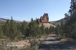
Explore Smith Rock and enjoy picturesque views of rugged canyons with the Crooked River winding its way and colorful sheer cliffs of basaltic tuff.
While hiking through the canyon, you might see deer, geese, golden eagles, prairie falcons, otters, and beavers.
Visitors can find a variety of activities in Smith Rock State Park including running, hiking, camping, and climbing.
Climbing
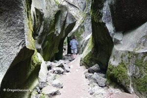
The main attraction of Smith Rock is rock climbing of all sorts including traditional climbing, multi-pitch climbing, sports climbing, and bouldering. The park features over 1,800 rock climbing routes of different difficulties ranging from fourth class to 5.14. More than a thousand routes are bolted.
There are several climbing spots at the Smith Rock State Park. These include Christian Brothers, The Dihedrals, The Upper and Lower Gorge, The Marsupials, Monkey Face Area, Morning Glory Wall, Picnic Lunch Wall, Red Wall, Rope-de-Dope, Ships and Gullies, Smith Rock Groups, and West Side Crags.
Given the number of spots and routes, climbers of any level can find multiple options.

Running & Hiking
For running and hiking enthusiasts Rock Smith offers many trails that can be separated by the level of difficulty.
Easy difficulty trails are characterized by minimal elevation and easy terrain. Those trails include Canyon Trail (1.6 miles), North Point Trail (0.3 miles), Rim Rock Trail (0.5 miles), River Trail (2.2 miles), and Wolf Tree Trail (1 mile).
Medium difficulty trails feature some elevation change and moderate terrain. Those include Homestead Trail (1 mile), Mesa Verde Trail (0.7 miles), Rope-De-Dope Trail (0.5 miles), and Summit Trail (2.5 miles).
High difficulty trails are characterized by a variety of terrain and the highest elevation change. Those trails are Burma Road Trail (1 mile), Chute Trail (500 ft), Misery Ridge Trail (0.7 miles), Misery Ridge Loop (4 miles), and Summit Loop (7.5 miles).

Smith Rock State Park Camping, Lodging & Vacation Rentals
Camping is another option for park visitors. The walk-in at the Bivy Campground is available on a first-come, first-serve basis. During the fall and spring months Friday through Sunday the campground is generally full. Leave your vehicle in the bivouac parking area and walk to the tent campground. RV camping and sleeping in vehicles are prohibited.
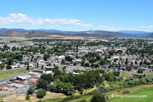
The nearest lodging and vacation rentals are available in Redmond
Affordable vacation rentals for short and long term stay in Redmond
Smith Rocks | Facts
Open: Year-round
Managed by: Oregon State Parks
Amenities: Picnic areas, flush restrooms
Activities: Climbing, hiking, running, nature viewing, fishing, picnicking
Road access: Any passenger vehicle
Day-use fees: Yes or Parking Permit for State Parks
Distance from the parking: Vary
Dogs: Must be on a leash
Restrictions: No open fires
Elevation: 2,700 ft (823 m)
Smith Rock is located:
- 9 miles northeast of Redmond
- 26 miles northeast of Bend
- 142 miles southeast of Portland.

Know Before You Go
- During summer temperature can reach 100 degrees F. Drink plenty of water and use sun-protections
- If you're hiking along high-difficulty trails, wear good shoes
- Stay on the established trails to avoid a damage to fragile soil structure and native vegetation
- Keep pets on leashes at all times
- Be alert on a trail - watch for rattlesnakes that are more active during warm sunny days.
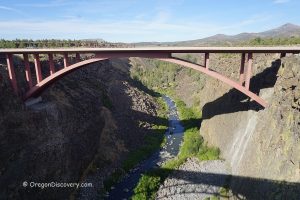
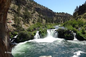
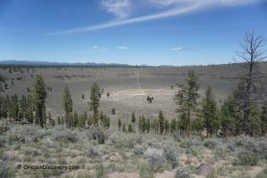
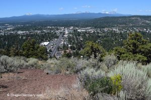
Adventures Nearby

Directions to Smith Rock State Park
From Redmond,
- Take highway US-97 and travel 5.7 miles north to Smith Rock Way
- Turn right (east) onto Smith Rock Way and travel 0.6 miles to Lambert Road
- Turn left onto Lambert Road and go 2 miles north to Crooked River Drive
- Bear left onto Crooked River Drive and continue 0.7 miles to the destination.
Phone: 541-548-7501