Trial Bridge and Smith Reservoir are currently closed for work on the Carmen-Smith Hydroelectric facility
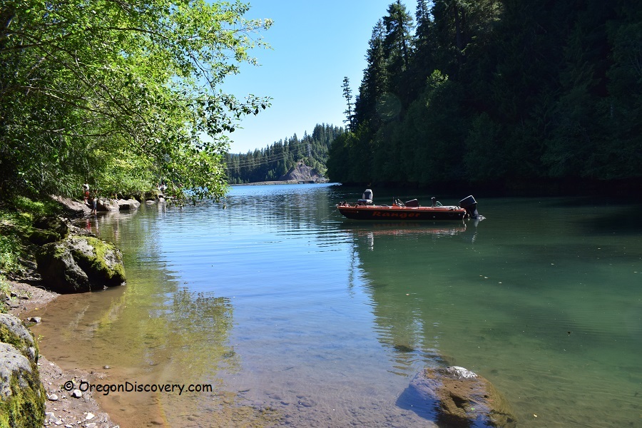
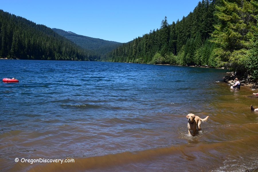
Located 2 miles from each other, Trail Bridge and Smith Reservoirs are artificial lakes formed by constructing dams across the McKenzie and Smith Rivers. Both reservoirs are popular areas for fishing, boating, swimming, and hiking.

Trail Bridge & Smith Reservoirs | Facts
Open: Year-round from dawn until dusk
Managed by: US Forest Service
Amenities: Restrooms, drinking water, garbage service, fishing docks, boat ramps, picnic sites
Activities: Swimming, water sports, hiking, biking, fishing, boating
Distance from the parking: Short
Road access: Any passenger vehicle
Day-use fees: Yes for some locations
Elevation: 2,000 ft (610 m)
Trail Bridge Reservoir is located:
- 66 miles east of Eugene
- 98 miles southeast of Salem
- 143 miles southeast of Portland.
Swimming hole rating: 3 out of 5
Body of water: Reservoir
Water quality: Transparent
Current: None
Depth: Deep and shallow
Beach: Sand and rocks
Water T° (summer): Cool to warm


Directions
From I-5,
- Take exit 194-A in Eugene for Highway 126 East
- Follow Highway 126 East for about 63 miles to Forest Road 730
- Forest Road 730 runs around the Trail Reservoir.
- For Smith Reservoir, continue along Forest Road 730 to the destination.
GPS (Trial Bridge Reservoir): N 44°16.772' W 122°2.783' | 44.27953, -122.04639
GPS (Smith Reservoir): N 44°18.557' W 122°2.601' | 44.30928, -122.04335

Is Smith back open now? – NK
It will be closed until 2021