
• Belknap Covered Bridge is the 4th generation span at this location
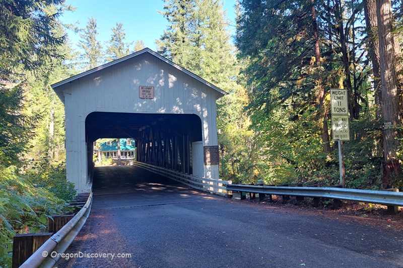
The Belknap Covered Bridge crosses the McKenzie River just west of the community of McKenzie Bridge, about 46 miles east of Springfield on Highway 126.
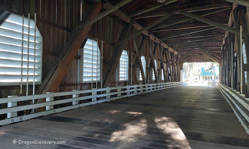
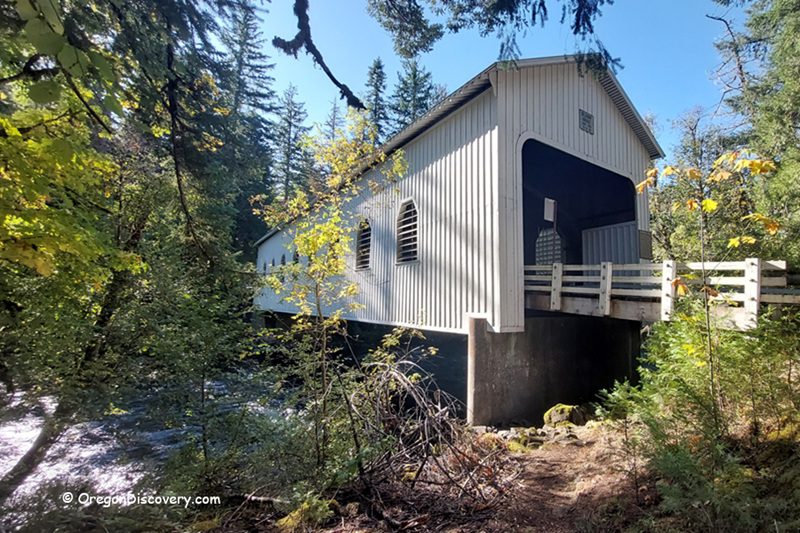
This bright white, 120-foot (37 m) Howe truss is sometimes called the McKenzie River Bridge. It's sturdy, simple, and feels quintessentially Oregon. I like how the louvered windows draw soft light inside, letting you watch rafters and drift boats slip beneath your feet. Do you enjoy that calm mix of wood, water, and mountain air?
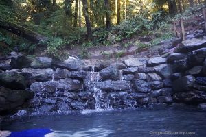
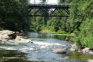
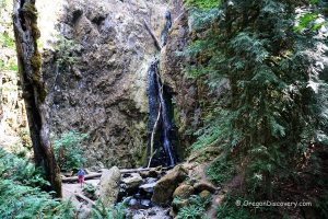
You can pair this stop with a visit to Belknap Hot Springs about 9 miles upstream, a short river walk, or lunch in Rainbow. It's an easy addition to a McKenzie River Scenic Byway road trip between Eugene and the high Cascades.
Belknap Covered Bridge History
If you love Oregon’s covered bridges, this spot tells a four-act story of resilience and renewal. A covered bridge has stood here since 1890, and the nearby community even took the name “McKenzie Bridge” because this crossing mattered so much.
The first bridge was built in 1890 by T. Thomson and named for the Belknap family. Rollin S. Belknap, an early settler, discovered and developed Belknap Hot Springs about 9 miles upstream. Traffic and time took their toll, and Lane County replaced the bridge in 1911.
A third bridge rose in 1939, but the Christmas Flood of 1964 swept it away. Oregon Bridge Corporation opened the current span on October 31, 1966. In 1975, crews added louvered windows for interior light.
The bridge was listed on the National Register of Historic Places in 1979. Lane County strengthened the structure and refreshed the exterior in 1992, installed a new roof in 2002, and completed additional repairs in 2014.
When I first walked through, the timbers felt honest and clean, like the bridge was built for work and kept for people. You hear the river below, and your steps echo. Simple, but it stays with you.
Why is this bridge so special?
Historic Significance: Four generations of bridges have crossed here since 1890. The present bridge opened in 1966 after the 1964 flood, earned a place on the National Register of Historic Places in 1979, and underwent restorations in 1992, 2002, and 2014.
Survivor: Oregon’s Easternmost Historic Covered Bridge Originally built to handle logging truck loads of about 35–39 tons, today it’s posted for vehicles up to 11 tons with a 13-foot-1-inch height limit.
Oregon's Easternmost Historic Covered Bridge
Lane County has more surviving covered bridges than any other county in the West, and Belknap stands out as the farthest east still open to traffic. During the lumber era, it was built stout for the corridor’s heavy work. Now, weight limits protect its aging frame, and the Howe truss — heavy timbers tied with iron rods — keeps it both strong and graceful.
Local threads tie it together. The Belknap name links the bridge to nearby hot springs and early travel over McKenzie Pass. On summer afternoons, canyon breezes flow through the louvers, and light paints narrow bands across the plank floor. It feels calm, sturdy, and timeless.
Belknap Covered Bridge | Facts
Architectural Bridge Design: Howe truss
Bridge access: Open to vehicles (posted 11‑ton limit), max height about 13 ft 1 in
Stream: McKenzie River
Bridge Length: 120 ft (37 m)
Built: 1966 (current span); original site bridge 1890
Elevation: 1,262 ft (385 m)
Belknap Covered Bridge is located:
- 1 mile west of Rainbow
- 3 miles west of the town of McKenzie Bridge
- 46 miles east of Eugene.
Adventures Nearby


Directions to Belknap Covered Bridge
- Take OR‑126 (McKenzie Highway) and drive for about 46 miles east to McKenzie River Drive
- Turn right and continue 0.8 miles to bridge access on the right.