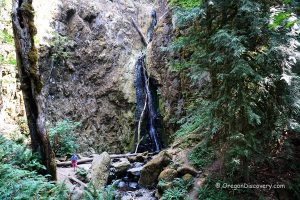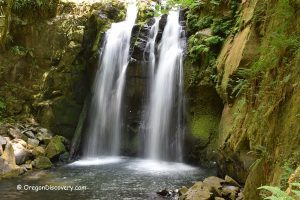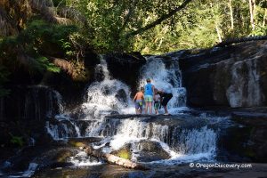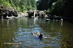
• Soda Creek Falls is one of the amazing attractions at Cascadia State Park
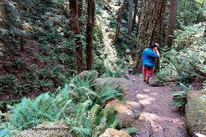
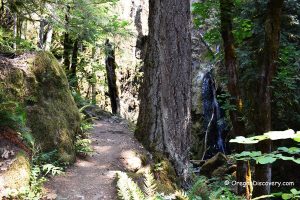
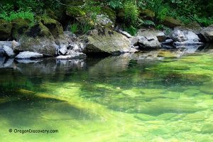
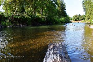
• The trail runs along the Soda Creek and through the ancient lush forest
Soda Creek Falls is one of the spectacular attractions that Cascadia State Park offers. The beautiful park with a rich history of indigenous people and pioneers is located at the confluence of the South Santiam River and Soda Creek on the western side of the Cascade Mountains, 14 miles east of Sweet Home.
The trail is 1.4 miles (2.25 km) out and back with an elevation gain of 350 feet (107 m). This is a short hike that allows you to enjoy the picturesque nature of the Pacific Northwest in general and the gorgeous waterfall in particular.
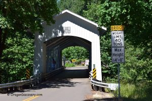
This hike will take you along Soda Creek and through the ancient lush forest of Douglas fir, cedar, and hemlock. You will have to cross a few footbridges and climb up to the point where the 150-foot waterfall plunges down from the basalt cliff.
Winter and spring are the best times to see the waterfall in full force. Summer and fall offer a great hiking adventure as well.
The trail to the falls starts either from the campground or the road connecting the west picnic area and day-use parking lot. Dogs are welcome on the trail, but please make sure to keep your pets on the leash.
Other hiking trails are also available including River and Cascadia Cave Trails.
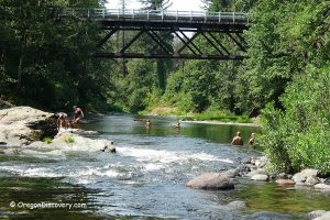
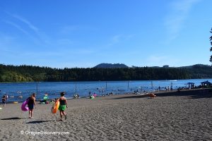
Cascadia Park is a popular summer destination offering one of the best swimming holes on the South Santiam River.
The campground features 25 single campsites operating on a first-come, first-served basis. Each campsite has a private picnic table and a fire ring. Two group sites for groups of up to 50 people each are available but should be reserved in advance.
Soda Creek Falls | Facts
Open: Year-round from dawn until dusk (day-use); May to September (campground)
Managed by: Linn County
Location: Cascadia State Park
Amenities: Drinking water, picnic sites, and a reservable picnic shelter
Activities: Swimming, hiking, fishing, and camping
Accommodations: 25 tent sites, 2 group campsites
Distance from the parking: 0.7 miles (1.1 km)
Road access: Any passenger vehicle
Day-use fees: Free
Popularity: Low
Elevation: 1,100 ft (335 m)
Soda Creek Falls is located:
- 15 miles east of Sweet Home
- 55 miles northeast of Eugene
- 66 miles southeast of Salem.
Total height: 150 feet (46 m)
Watercourse: Soda Creek
Primary form: Tiered Horsetail
Seasonality: 12 months
Video
Adventures Nearby
Directions to Soda Creek Falls
From I-5,
- Take exit 228 for OR-34 toward Corvallis
- Head 5.4 miles east on OR-34 to Denny School Road
- Turn right onto Denny School Road and drive for 1.2 miles
- Continue 2.2 miles onto Airport Drive to US-20 (Main Street)
- Turn right onto US-20 and follow 27.5 miles east to the park.
Phone (Group Camps & Picnic Areas Reservation): 1-800-452-5687


