• Swimming in the Chetco River is a popular summer activity.
• The lower river offers large gravel bars, a gentle current, and warm water
![]()
![]()
![]()
![]()
![]()
The Chetco River gathers its water from tributaries in the Klamath Mountains within the Rogue River–Siskiyou National Forest. Flowing 56 miles through remote southwestern Oregon, it empties into the Pacific Ocean at Brookings—the southernmost coastal town in the state. The river is named after the Chetco Native Americans who originally lived near its mouth.
The headwaters and 44 miles of the upper segment are designated Wild and Scenic. This remote section is known for its pristine water quality, a high concentration of rare plants, and numerous Class III to IV+ rapids. Northwest Rafting Company offers five-day guided whitewater expeditions through this wild stretch.
The lower 11 miles of the Chetco are classified as a recreational section.
Swimming, boating, kayaking, or simply splashing in the water with kids are popular summer pastimes at various access points along the river. The Chetco is also one of Oregon’s top winter steelhead fishing destinations, with the run peaking from December to February. Fall Chinook salmon fishing season runs from September through December.
Chetco River Swimming
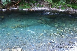
The lower section of the Chetco River widens and slows, making it relatively safe for swimming during the summer months. This stunning coastal river features sand and gravel bars, with clear turquoise water that can reach up to 80°F at the peak of summer heat.
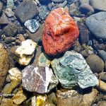
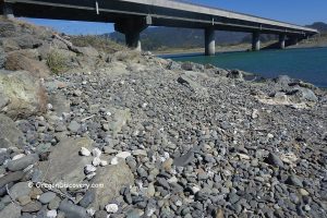
The riverbanks are composed of pebbles and cobbles, with shallow and deep areas for wading and swimming. Jumping spots can also be found along the river, and salamanders are commonly seen in the shallows.
On a hot summer day, Chetco's warm, calm, and pristine waters attract many visitors, especially families with young children.
Some areas of the upper Chetco also offer excellent swimming holes, but due to the rugged, mountainous terrain, access often requires a strenuous hike.

Chetco River Fishing
The Chetco River is considered one of Oregon’s premier destinations for winter steelhead fishing, with the run occurring from December through March. In addition to steelhead, anglers can catch Chinook salmon, resident and sea-run cutthroat trout. Fishing is possible from gravel bars or by drifting in a boat.
Chetco Bay also offers excellent fishing opportunities. Anglers from shore and by boat can catch salmon, steelhead, rockfish, perch, halibut, and even crab.
Chetco River Hiking
The lower Chetco River has several gentle hiking options.
Riverview Nature Trail at Alfred A. Loeb State Park is an easy 1.5-mile round trip that stays close to the river and passes through a peaceful forest with lovely river views.
Chetco Redwoods Loop is a 2.6-mile walk that takes you through a grove of Oregon’s northernmost redwoods and connects to paths along the river, making it ideal for families or a relaxed stroll.
For those who want a bit more challenge, Chetco Gorge Trail is a moderate 1.7-mile one-way hike through a scenic river gorge. Some areas may require stepping across shallow water, so good shoes and care are recommended.

Chetco River Campgrounds & Day-Use Areas
North Bank Road offers excellent bank and boat access to the Chetco River. If you're driving down to the gravel bars, a four-wheel-drive vehicle is recommended. Several locations along the river are ideal for water activities such as swimming, tubing, boating, fishing, and rockhounding. Here are a couple of popular spots:
Social Security Bar
Located about four miles from Highway 101, Social Security Bar provides public river access and a large adjacent gravel bar. It's a favorite spot for swimming, fishing, and rockhounding. Please note that there are no on-site facilities.
N 42°3.853' W 124°13.799' | 42.064221, -124.229976
Alfred A. Loeb State Park
 Nestled in a Myrtlewood grove—the southernmost habitat of its kind in Oregon, Alfred A. Loeb State Park features access to the Chetco River and several scenic trails. The Riverview and Redwood Nature Trails offer a chance to explore lush Myrtlewood and coastal redwood forests.
The park is a popular destination for summer water recreation and a peaceful fishing spot during the cooler months.
Alfred Loeb State Park - Myrtlewood Paradise on the Chetco River
Miller Bar Campground and Day-Use Area
Managed by the U.S. Forest Service, Miller Bar is a dispersed campground and day-use area located along a wide gravel bar in the recreational section of the Chetco River, about 2.8 miles upstream from Alfred A. Loeb State Park.
The site offers access to both shallow areas near the gravel bar and deeper water along the opposite bank—ideal for swimming, wading, and fishing. A vault toilet is available, but there is no drinking water, so come prepared.
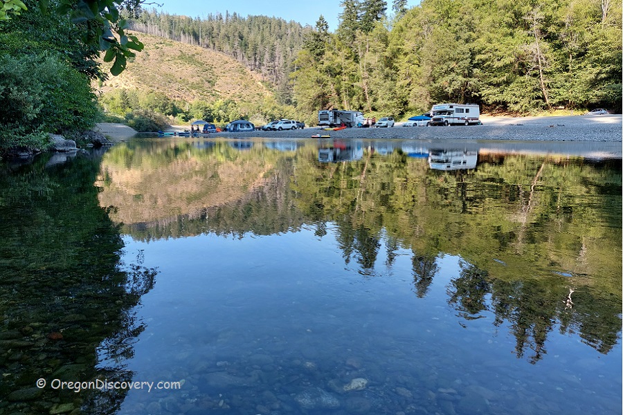
Nook Bar Campground and Day-Use Area
Nook Bar is a dispersed campground and day-use site located along the recreational section of the Chetco River, approximately 1.5 miles upstream from Miller Bar. This wide gravel area provides access to both shallow and deeper parts of the river, making it suitable for swimming, wading, and fishing. The site includes a vault toilet but no drinking water.
Elephant Rock
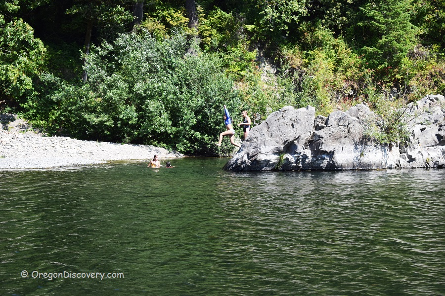
Elephant Rock is a striking basalt lava formation that juts into the Chetco River. At this bend in the river, a deep pool forms at the base of the rock, making it a popular spot for cliff jumping and swimming. The opposite bank is lined with gravel and pebbles, offering a gentler place to wade or relax.
Access is via a small turnout, followed by a short but steep trail down to the river. Elephant Rock is located about 0.6 miles upstream from Nook Bar.
N 42°8.839' W 124°8.776' | 42.14731, -124.14626
Redwood Bar Campground and Day-Use Area
Redwood Bar is a dispersed campground and day-use site located approximately one mile upstream from Nook Bar. It features a broad gravel bar with riverside camping and access to both shallow and deep water—perfect for swimming, fishing, and relaxing by the river. The water here is especially clear, making it a scenic and enjoyable spot.
A vault toilet is available, but there is no drinking water.
Adventures Nearby
Directions to Chetco River Sites
From Highway 101 in Brookings
- Turn north to North Bank Chetco River Road and then bear right staying on North Bank Chetco River Road
- Travel 3.2 miles northeast to Social Security Bar on the right
- Follow the next 8 miles to Miller Bar
- Continue 3.4 miles to Redwood Bar.

