
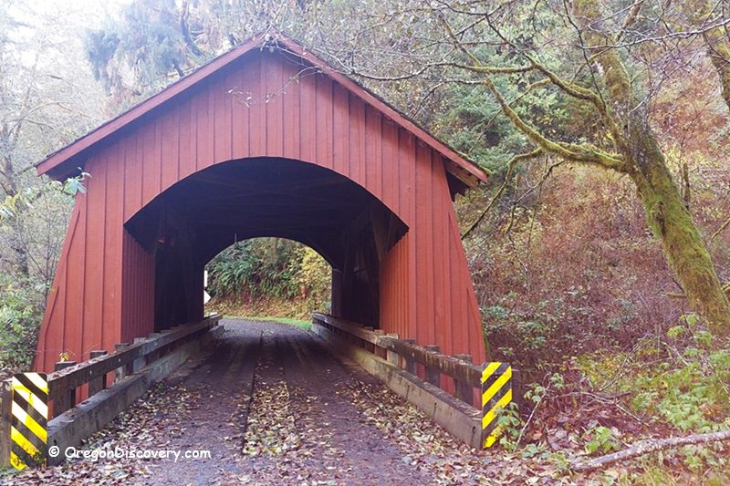
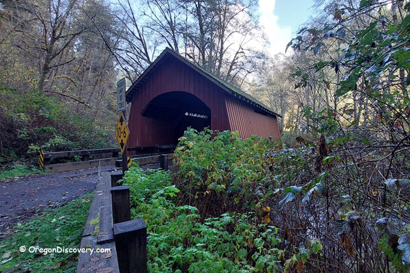
• North Fork Yachats Covered Bridge is one of Oregon’s shortest covered bridges
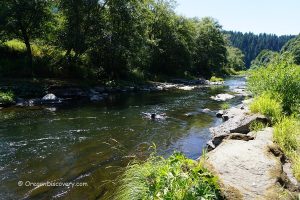
The North Fork Yachats Covered Bridge crosses the North Fork of the Yachats River about 9 miles (14 km) northeast of Yachats and the Pacific Ocean. This bright, tidy span sits off Yachats River Road, then North Yachats River Road, where coastal rainforest meets small farm country. It’s a calm drive with cedar scents, ferny banks, and the soft sound of water.
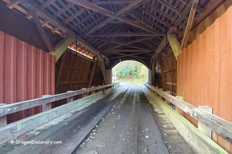
Built in 1938 by veteran builder Otis Hamer for roughly $1,500, the Queen post truss was his last covered bridge. Today, it stays open to local traffic with a posted 10‑ton limit. Large trucks and RVs are not allowed. Because the interior is short, light rolls through fast - morning fog softens the beams; afternoon sun lines the planks.
I like how the tires hum as you cross. You hear the river and feel cool air drift in. Do you enjoy that simple wood‑and‑water moment too? It sticks.
If you want an easy Oregon Coast add‑on, pair this stop with tide pools at low tide, coffee in town, and a short picnic by the river. You can do it all in a half day with little stress.
The Difference Between a Howe Truss Bridge And a Queen Post Truss Bridge
A queen post truss bridge is a simple, short‑span design with two vertical posts (“queen posts”) connected by a horizontal straining beam, with diagonals typically in tension; it efficiently covers spans of roughly 30–70 feet and was common on smaller, lighter crossings.
A Howe truss bridge, by contrast, uses vertical iron or steel tension rods and heavy wooden diagonals sloping toward the center that work primarily in compression, making it stronger and better for longer spans (often 60–180+ feet) and heavier loads.
Visually, queen posts look sparse and symmetrical with a central open bay between two posts, while Howe trusses present a denser lattice of diagonals and adjustable vertical rods, allowing fine‑tuning of the structure under load.
North Fork Yachats Covered Bridge History
If you love Oregon covered bridges, this site tells a tight Lincoln County story. In 1938, Otis Hamer built this compact Queen post truss for Lincoln County. On November 29, 1979, it joined the National Register of Historic Places under the Oregon Covered Bridges TR listing.
The bridge has seen bumps and careful fixes. In 1987, a loaded fuel truck broke through a weakened approach and ruptured a tank. Thankfully, no fuel reached the river. County crews patched the damage. Then, in 1989, a full rehabilitation replaced the trusses, approaches, roof, and siding.
Two G’s Construction Company added concrete piers and footings and installed zinc strips to slow moss growth. A December 1989 dedication reopened the span, and the engineer said it should last another 50 years with steady maintenance.
Today, the bridge still carries North Fork Yachats River Road traffic. It is one of only two covered bridges in Lincoln County open to vehicles, with the other being the Chitwood Bridge. Space beyond the north portal is limited and on private property, so please turn around with care and respect posted signs.
Why is this bridge so special?
Historic Significance: Built in 1938 by Otis Hamer for about $1,500; added to the National Register in 1979; it was the last covered bridge he constructed, and among Oregon’s few surviving Queen post trusses.
Still in Service: Open to vehicles up to 10 tons; no large trucks or RVs; carries North Fork Yachats River Road over the North Fork of the Yachats River; limited turnaround and private land beyond.
Architectural Details: One of Oregon’s shortest covered bridges with a rare Queen Post Truss design.
Coastal Rainforest Drive, Simple Moments
This is an easy, pretty drive. You follow the Yachats River east, pass meadows where elk sometimes feed at dawn, and watch mist lift off the water by mid‑morning.
Photographers like the soft backlight on the west portal and the clean, graffiti‑free siding. Families stop for a quick photo, then head back to Yachats for lunch. Cyclists ride from town for a low‑traffic out‑and‑back: small scenes, big mood.
I count the time like this: 20–25 minutes from Yachats to the bridge, 10–15 minutes to walk, look, and listen, then 20 minutes back to town. Simple timing helps when you’re planning tides, snacks, and naps.
North Fork Yachats Covered Bridge | Facts
Architectural Bridge Design: Queen post truss
Bridge access: Vehicles up to 10 tons; no large trucks or RVs; limited turnaround; respect private property
Stream: North Fork of the Yachats River
Bridge Length: 42 ft (13 m)
Built: 1938
Rehabilitated: 1989
North Fork Yachats Covered Bridge is located:
- 26 miles north of Florence
- 30 miles south of Newport
- 86 miles west of Corvallis.
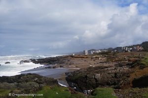
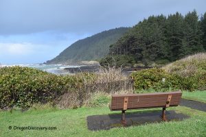
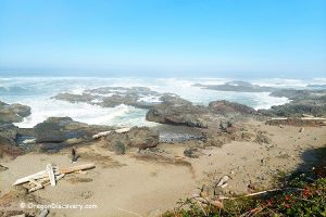
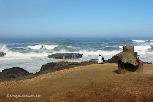
Adventures Nearby


Directions to North Fork Yachats Covered Bridge
From Highway 101 in Yachats,
- Turn east onto Yachats River Road from US‑101 in downtown Yachats (by the Yachats River bridge)
- Follow Yachats River Road for 7.0 miles (watch mileposts and the winding river)
- Turn left (north) onto N Yachats River Road (narrow gravel road)
- Continue 1.5 miles to the North Fork Yachats Covered Bridge.