• Hunter Creek is popular among outdoor enthusiasts
• There are a few great swimming spots
Swimming in rivers of the Southern Oregon Coast is a very popular activity during the summer. The lower sections of coastal rivers and creeks warm up quickly during the summer offering a great opportunity for refreshing dips. Hunter Creek near the town of Gold Beach is popular among outdoor enthusiasts who enjoy spending time in a natural setting.
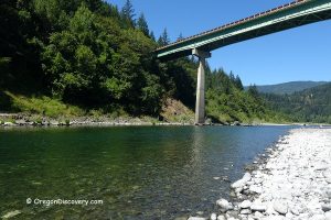
There is an excellent swimming hole in the lower part of Hunter Creek at High Bridge, 6 miles southeast of the Kissing Rocks in Gold Beach.
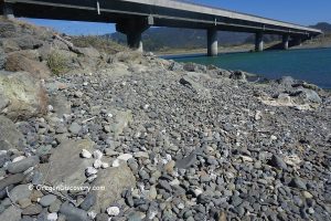
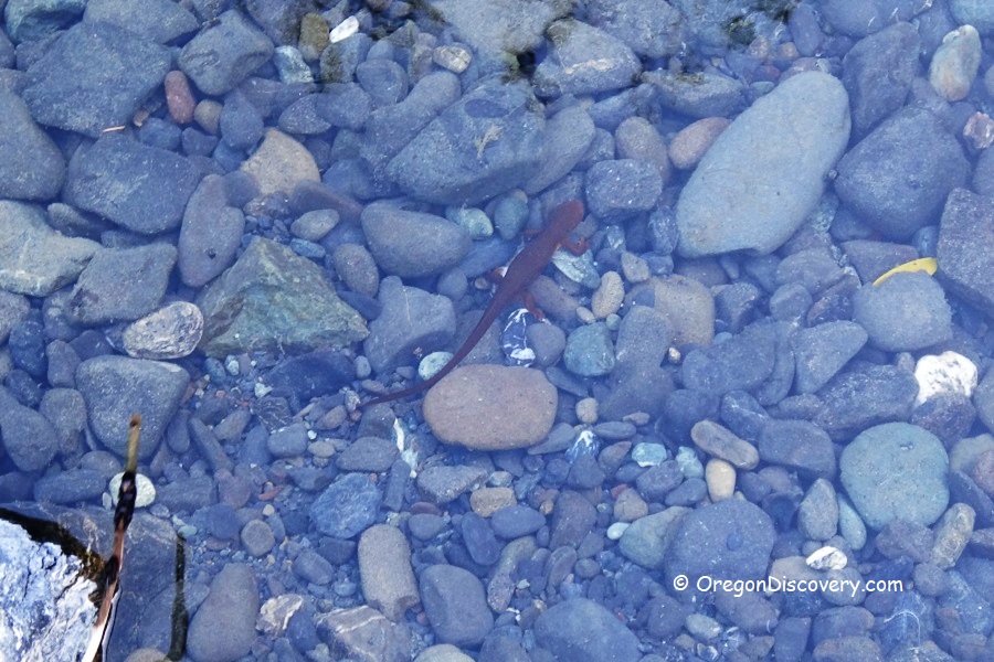
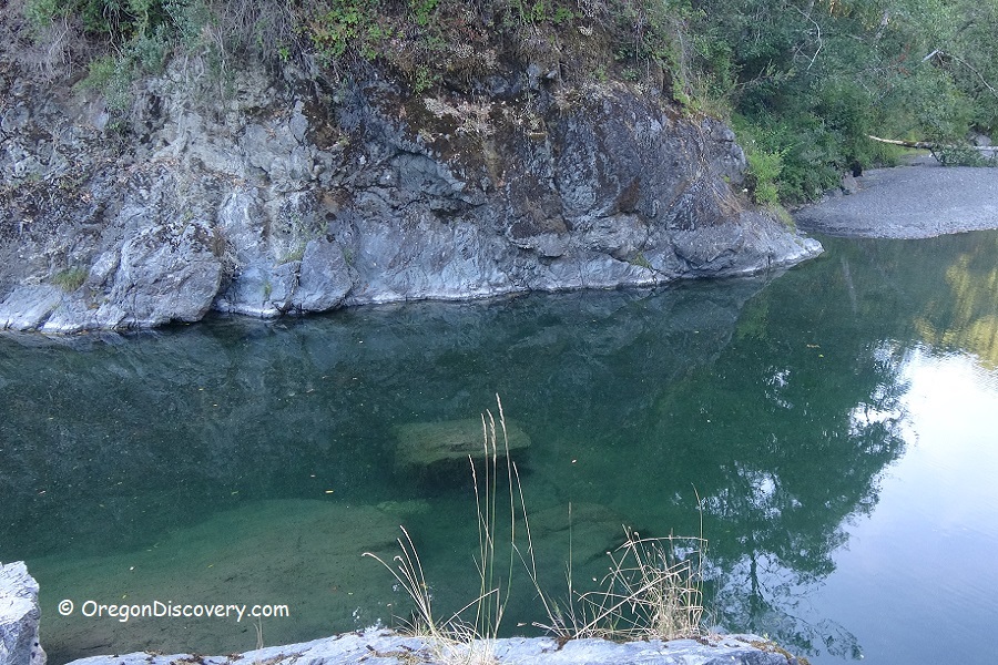
Hunter Creek at the High Bridge is a beautiful swimming site hidden in the deep narrow canyon. The shallow river bends here and creates a few deeper holes upstream and downstream from the bridge. Inside the bend, water movement is slow and it warms up faster. The water looks green in the deeper area. In shallows areas, you will spot salamanders speeding around.
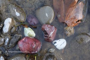
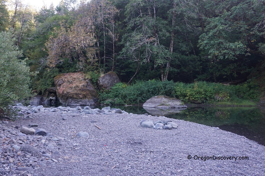
This fantastic site features incredible rock formation with a vertical rock wall and large rocks sitting in the middle of the creek. The beach and the creek bottom are composed of gravel and rocks of various sizes and colors. White quartz and green jasper are dominating here. Red brecciated jasper, agate, and petrified wood can be found as well.
It is a great swimming spot and likely the only one along the lower part of the creek accessible to the public. You can leave your car just after crossing the bridge. The trail runs down to the creek on the left side of the bridge.
Things to Do near Hunter Creek
The Hunter Creek at the High Bridge is located just seven miles from Gold Beach, which offers lodging, dining, and riverfront access to the Rogue River.
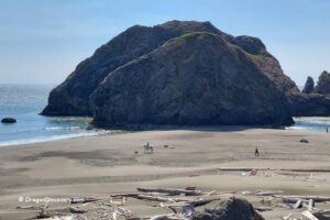
The dramatic scenic oceanshores nearby, including Kissing Rocks, Myers Creek Beach, and Nesika Beach, are popular for beach walking, tidepool exploring, and coastal views.
Pistol River and Bailey Beach are especially beloved by rockhounds.
Outdoor enthusiasts can also enjoy nearby coastal trails, fishing, picnicking, and wildlife watching along the Southern Oregon Coast.

Hunter Creek Camping & Lodging
There is no camping available at the Hunter Creek. The nearest lodging is in Gold Beach.
Affordable vacation rentals for short and long term stay in Gold Beach
Hunter Creek | Facts
Best time: Year-round
Amenities: None
Activities: Swimming, rockhoundng
Distance from the parking: Short
Road access: Any vehicle
Day-use fees: None
Elevation: 200 ft (60 m)
Hunter Creek at High Bridge is located:
- 7 miles southeast of Gold Beach
- 157 miles east of Medford
- 200 miles southhwest of Eugene.
Adventures Nearby
Directions to High Bridge
From Gold Beach,
- Travel on Highway 101 south to Hunter Creek Road
- Turn left at milepost 331.1, then bear right and follow on Hunter Creek Road for 1 mile to the bridge
- Cross the bridge and turn right to stay on Hunter Creek Road, continue 3.9 miles to the end of the pavement
- Travel 0.2 miles to the one-line High Bridge, cross the bridge, and park your car.


