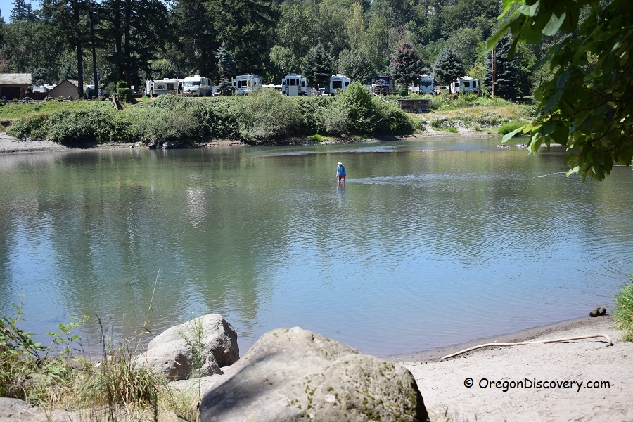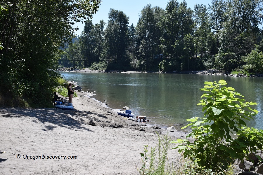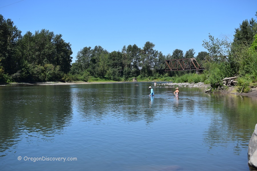
• Lewis and Clark State Park is a great place to enjoy the beauty of the Sandy River
• The clear river water offers an opportunity to cool off on a hot summer day
![]()
![]()
![]()
Lewis and Clark State Park is located on the west end of Historic Columbia River Highway and sits near the mouth of the Sandy River where it empties into the Columbia River. The beach here is adjacent to the point where the stream breaks into the Columbia River. This park is one of the best and popular places to enjoy the beauty of the Sandy River and practice numerous outdoor activities including swimming, boating, fishing, hiking, and picnicking.
The park was named after the famous explorers Lewis and Clark who were examining the river on November 3rd, 1805. They named the river Quicksand for the dangerous sand bar at the channel entrance. Later the name was shortened to Sandy River.
The state received the park land from Multnomah County in 1936. Additional pieces of land were purchased over the years allowing to expand the park area to 54 acres, the size we see nowadays.
Swimming
On a perfect hot day, you will meet plenty of people swimming and wading or just relaxing on a sandy beach. The clear river water offers an opportunity to cool off on a hot summer day. However, be advised the water is cold even in summer and current is swift.
The trees provide shades for those who wish to take a break and eat their lunch.
Hiking
Flat trails traverse the park, leading to swimming spot and public boat launch, as well as around the park. While not challenging for seasoned hikers, those trails are perfect for a relaxing weekend stroll.
Rock Climbing
Broughton Bluff located in Lewis and Clark State Park attracts rock climbers year-round. The bluff separates the foothills of the Cascades from Willamette Valley and provides multiple climbing routes starting at 5.6 topropes going all the way up to 5.12 leads. This spot is considered one of the best climbing areas within the immediate vicinity of Portland.
Other features of the park include a public boat ramp, picnic tables, and flush restrooms.
No alcohol is permitted in the park or on the beach. All pets must be on the leash at all times except at the specifically designated off the leash area.
Lewis and Clark State Park | Facts
Open: Year-round, day-use
Managed by: Oregon State Parks
Location: Portland Metro Area
Amenities: Restrooms, picnic areas, and boat ramp
Activities: Swimming, water sports, biking, and picnicking
Distance from the parking: Short
Road access: Any passenger vehicle
Day-use fees: None
Restrictions: No alcohol; Dogs must be on a leash
Popularity: High
Accommodations: No camping in the park
Elevation: 400 ft (122 m)
Lewis and Clark State Park is located:
- 5 miles northeast of Gresham
- 17 miles east of downtown Portland
- 65 miles northeast of Salem.
Swimming hole rating: 3 out of 5
Body of Water: River
Water quality: Transparent
Current: Strong
Depth: Deep and shallow
Beach: Sand
Water T° (summer): Cold
Adventure Nearby
Directions to Lewis and Clark State Park
From I-5,
- Take exit 301 for Highway 84 and drive 15 miles east
- Take exit 18 toward Oxbow/Lewis and Clark Parks
- Turn left onto Jordan Road/Crown Point Highway and continue 0.2 miles to the destination on the left.
Phone: 800-551-6949


