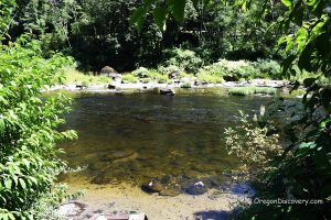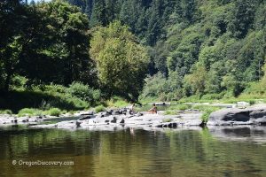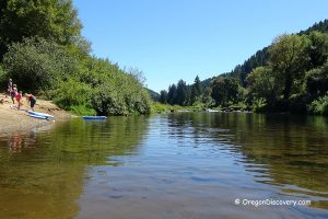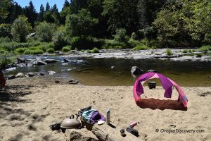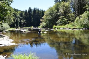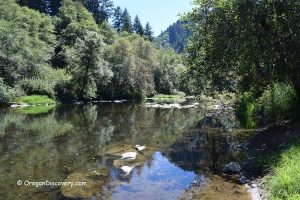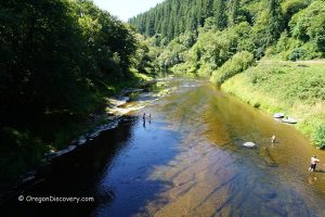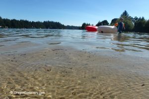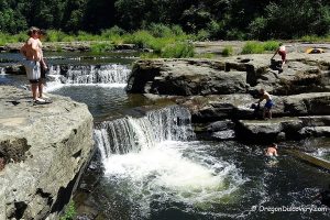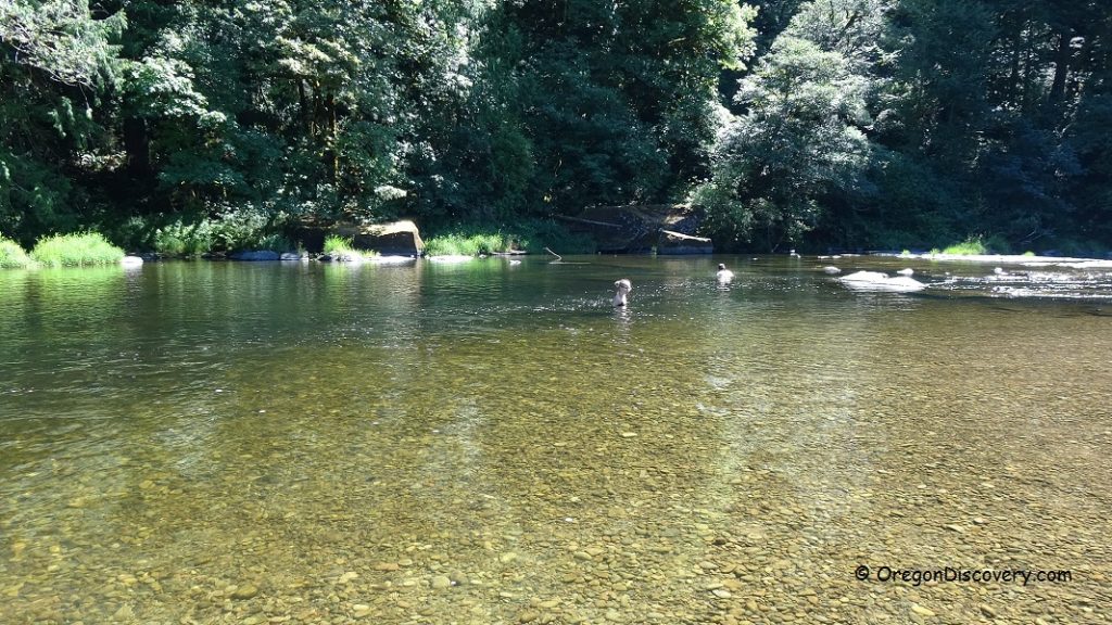
• There are numerous Siuslaw River swimming spots with convenient access
• Water temperatures rise during summer allowing comfortable swimming
Siuslaw River starts its way to the Pacific Ocean, 45 miles west of Eugene, and runs over 100 miles before it enters the Pacific Ocean near Florence. Siuslaw River also receives its water from other Coast Range creeks. The river was named after Siuslaw Native Americans who lived along the river before the first Europeans arrived in the 1880s.
Like other Oregon coastal rivers, the temperature of the water rises to 70-75°F in the summer allowing for comfortable swimming and enjoyable dipping. The river is relatively safe for swimmers during summer with warmer water and slow current.
There are many Siuslaw River swimming spots with convenient access to the river via numerous recreation sites and turnouts along Highway 36, northeast of Mapleton. An extremely popular swimming destination, Lake Creek Falls is also located near Highway 36.
Most of the recreational sites along the river are managed by Lane County. So, a small fee is required for parking. Most Lane County Parks have boat ramps and restrooms. There are a few turnouts where you can park for free to enjoy swimming in the beautiful coastal river.
Besides swimming activities, the Siuslaw River is famous for boating, paddling, fishing, and crabbing. The river supports populations of Chinook salmon, steelhead, shad, and cutthroat trout.
Farnham Landing County Park
This spot offers picnic tables, a wooden boat slide, and vault toilet. No overnight camping. Day-use area only.
Service: Vault toilet
Day-use fees: Yes
Managed by: Lane County
Elevation: 168 ft (51 m)
Siuslaw River Swimming - Turnouts
There are a few great swimming spots in close proximity to each other. The first turnout is located 2.4 miles northeast of Farnham Landing County Park. If you drive the next 1 mile east along the road from the first turnout, you will find a couple more turnouts and trails to access the river bank.
Service: None
Day-use fees: None
Elevation: 140 ft (43 m)
Tide Wayside County Park
Enjoy wading, swimming, sunbathing, and crawfishing during the summer months. The day-use recreation area has picnic tables.
No overnight camping. Day-use area only.
Service: Restrooms, picnic tables, boat ramp
Day-use fees: Yes
Managed by: Lane County
Elevation: 160 ft (49 m)
Konnie Memorial Fishing Access Site
Konnie Memorial Park is located on the east side of the river. Google navigation doesn't provide correct driving directions. If you drive east, turn right onto Stagecoach Road (2.6 miles after Tide Wayside County Park). Cross the bridge over the river and turn left onto a dirt road just after the bridge.
Day-use area 1
Drive 0.6 miles to a fork. Bear left and travel 0.1 miles to the first day-use area.
This is an excellent picnicking and swimming spot with a big picnic area and sand beach.
Day-use area 2
From the fork, bear right and travel 0.2 miles to the second day-use area. Park your car and hike 0.1 miles down to the river bank. You can swim and fish here.
No overnight camping. Both areas are day-use only.
Service: Restrooms
Day-use fees: Yes
Managed by: Lane County
Elevation: 200 ft (61 m)
Schindler Landing County Park
Schindler Landing is a fee county park and roadside rest area. If you stop for less than 30 minutes, parking is allowed without a pass. There are a boat ramp and picnic tables.
Day-use fees: Yes, free stop for 30 minutes
Managed by: Lane County
Elevation: 220 ft (67 m)

