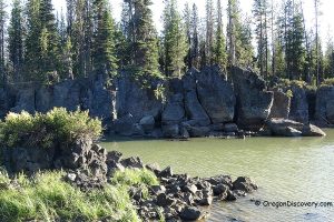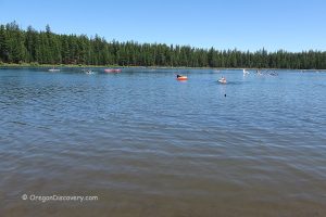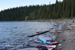
• Wickiup Reservoir is the second largest reservoir in Oregon
• The reservoir is a great place for wildlife viewing, fishing, boating, and swimming
Located along the Cascade Lakes Scenic Byway, Wickiup Reservoir was built in 1949 on the Deschutes River for irrigation use. The Deschutes begins at Little Lave Lake, flows 8.4 miles south to Crane Prairie Reservoir, and then 5 miles south to Wickiup Reservoir. The second largest reservoir in Oregon, after Owyhee Lake, comprises 10,300 surface acres and 50 miles of shoreline.
Wickiup Reservoir area was a traditional Native American camping area and has been named for wickiups or wigwams – dome-shaped shelters made from reeds, grass, and brush.
The reservoir is a great place for wildlife viewing. A variety of nesting and migrating birds, deer, raccoons, bats, and sometimes even black bears are observed in this area. Visitors can enjoy fishing, boating, windsurfing, waterskiing, and swimming as well as camping and picnicking around the lake.
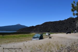
Sheep Bridge Campground is a huge campground on the Deschutes arm above the reservoir. This site offers tent and RV camping (hookups are not available), picnic tables, campfire rings, drinking water, and vault toilets. There is a boat ramp at the campground.
GPS: N 43°43.946' W 121°47.090' | 43.7324, -121.7848
Gull Point Campground & Day-Use is located on the north shore 0.4 miles east of the North Wickiup Boating Site. The campground features tent and RV camping, picnic areas, drinking water, vault toilets, and a dump station. Two day-use areas have boat launches and fish cleaning stations.
GPS: N 43°42.280' W 121°45.738' | 43.7047, -121.7623
Reservoir Campground & Boating Site on the west shore offers tent, trailer and RV camping (hookups are not available), boat ramp, picnic tables, campfire rings, and vault toilets. No drinking water.
Fishing
The reservoir is well-known for excellent fishing opportunities. Its water is home to record-size brown trout at 16-20 inches. In 2007, a man from Madras caught 25-pound, 1-ounce brown trout. The state record is 28 pounds, 5 ounces, taken in 2002 from Paulina Lake.
There is a good chance to catch a rainbow trout, whitefish, brook trout, kokanee, and largemouth bass.
The reservoir is open for anglers from April 22 to October 31. Kokanee is limited to 5 per day in addition to the daily trout limit. The Deschutes Arm is closed from the ODFW marker at Gull Point to The ODFW marker upstream of Sheep Bridge from September 1 to April 21.
Check the current ODFW regulations before fishing.
Swimming
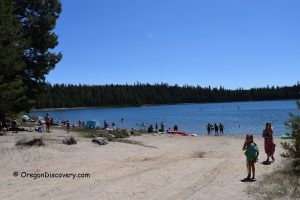
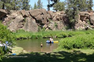
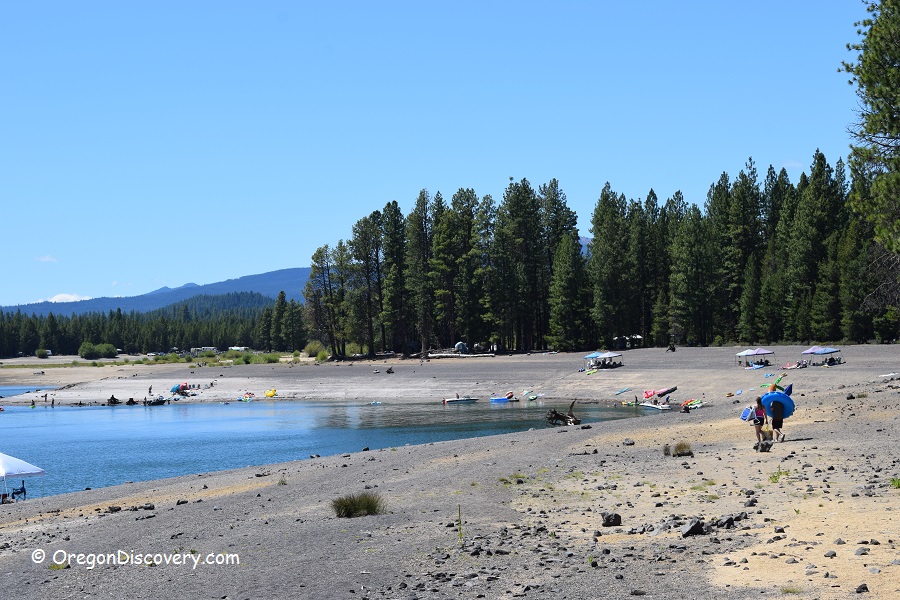
Relatively shallow areas warm up in the late summer providing opportunities to take a refreshing dip. Gull Point Campground & Day-Use is one of the popular places along the reservoir shoreline for swimming, tubing, and canoeing.
Wickiup Reservoir | Facts
Open: Year-round; Due to snow in winters, the roads are closed
Managed by: US Forest Service
Location: Cascade Lakes Highway, Deschutes National Forest
Amenities: Campgrounds, restrooms, picnic sites, boat ramps
Activities: Swimming, boating, fishing, hiking, camping, and picnicking
Distance from the parking: Short
Road access: Any passenger vehicle
Day-use fees: Yes or Interagency Senior/Access/Military Pass
Popularity: Moderate to high
Accommodations: Sheep Bridge Campground, Gull Point Campground, Reservoir Campground. Reservations can be done online through Recreation.gov or by calling toll free 1-877-444-6777
Affordable vacation rentals for short and long term stay at Cascade Lakes Highway
Elevation: 4,150 ft (1,265 m)
Wickiup Reservoir is located:
- 41 miles west of Bend
- 109 miles east of Eugene
- 200 miles southeast of Portland.
Facts
Body of water: Reservoir
Surface area: 10,300 acres
Shoreline: 50 miles (35 km)
Maximum depth: 70 ft (6 m)
Water Characteristics
Swimming hole rating: 3 out of 5
Water quality: Transparent
Current (summer): None
Depth: Deep and shallow
Beach: Sand & pebble
Water T° (summer): Cool to warm
Adventures Nearby
Directions to Gull Point Campground
From Bend,
- Take Highway 97 and travel 17 miles south to Vandevert Road
- Turn right onto Vandevert Road and drive 1 mile to S Century Drive
- Turn left onto S Century Drive and continue 1.1 miles
- Turn right to stay on S Century Drive and follow 18.2 miles to Forest Road 4260
- Turn left onto FR 4260/Twin Lake Road and continue 2.9 miles to Forest Road 4260-200
- Turn right onto FR 4260-200 and go 0.3 miles to the destination.

