• North Twin Lake is a high-elevation lake with unique geological formations
• The lake is a great swimming spot in mid-summer
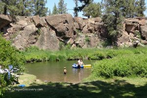
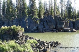
North Twin Lake is one of the two identical high-elevation lakes along the Cascade Lakes Highway in the Deschutes National Forest. North and South Twin Lakes sit 0.5 miles from each other and are adjacent to Wickiup Reservoir. Both lakes have unique geological formations.
North Twin Lake was created around 20,000 years ago due to the volcanic activity in the region. Rising magma ran into the groundwater and caused an explosion creating a broad flat-floored crater that got filled with water forming a shallow crater lake known as a maar lake.
The lake surface area is 112 acres with a maximum depth of 60 feet and an average depth of 40 feet. The lake, surrounded by scenic ponderosa pine forests, is better protected from strong winds than other Cascade lakes and reservoirs.
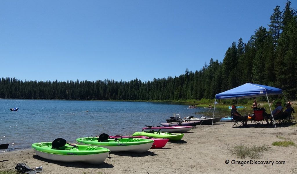
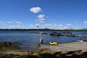
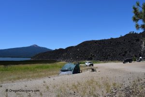
North Twin Lake is a great location for swimming, non-motorized boating, fishing, hiking, and camping. A campground, beach, and boat ramp are located on the north shore of the lake. The bank access is unlimited. You can walk around the lake via the loop trail or along the shoreline when water levels are low. An interpretive trail at the campground informs about "dwarf mistletoe" infecting the ponderosa pine trees in the area.
South Twin Lake can be accessed via a 0.5-mile hiking trail.
Primitive 20 single sites North Twin Lake Campground features vault toilet, picnic tables, RV dump site, and free boat ramp. Reservation can be made through Recreation.gov.
Swimming
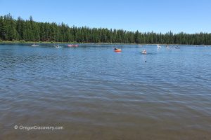
North Twin Lake is a great swimming spot with a comfortable temperature in mid-summer. The water warms up to 75°F in July in shallow areas of the lake. The water is blue and clear. There is a small sand and grass beach at the shallow north shore with the primitive boat ramp. The sand-bottom swimming area is great for wading and swimming.
Fishing
Oregon Department of Fish and Wildlife stocks the lake with rainbow trout during May and June. Average rainbow trout caught at the lake ranges from 8 to 12 inches in length. During cold times of the year, the best fishing is in the shallower water. Deeper areas that lie at the west shore are the best for warmer months.
All methods of fishing work well. Use bait, flies, or lures. The best bait fishing for the deeper holes is red eggs, power bait, worms, and marshmallows. Spin anglers can use Rooster Tails cast and retrieved or trolled.
Fly fishing with flies from mayflies, caddis, damsels, and flying ants near the shore is also effective.
It is also possible to catch bullhead which was illegally introduced to North Twin waters.
Please make sure to always verify current fishing regulations.
North Twin Lake | Facts
Open: Year-round
Managed by: US Forest Service
Location: Cascade Lakes Highway, Deschutes National Forest
Amenities: Boat ramp, vault toilet
Activities: Swimming, non-motorized boating, fishing, hiking, camping
Distance from the parking: Short
Road access: Any passenger vehicle
Day-use fees: Free
Popularity: Moderate to high
Accommodations: North Twin Lake Campground. Reservations can be done online through Recreation.gov or by calling toll free 1-877-444-6777
Affordable vacation rentals for short and long term stay at Cascade Lakes Highway
Elevation: 4,150 ft (1,265 m)
North Twin Lake is located:
- 38 miles west of Bend
- 107 miles east of Eugene
- 210 miles southeast of Portland.
Swimming hole rating: 4 out of 5
Body of Water: Lake
Water quality: Transparent
Current (summer): None
Depth: Deep and shallow
Beach: Sand and grass
Water T° (summer): Warm in shallow areas
Adventures Nearby
Directions to North Twin Lake
From Bend,
- Take Highway 97 and travel 17 miles south to Vandevert Road
- Turn right onto Vandevert Road and drive 1 mile to S Century Drive
- Turn left onto S Century Drive and continue 1.1 miles
- Turn right to stay on S Century Drive and follow 17.7 miles to Forest Road 4262
- Turn left onto FR 4262 and then right onto 4262-080 and continue 0.5 miles to the destination.

