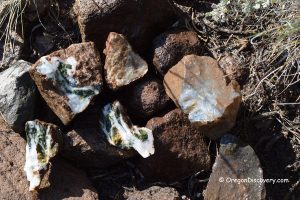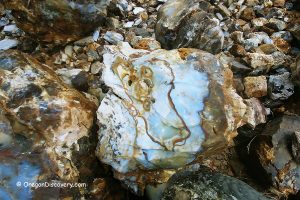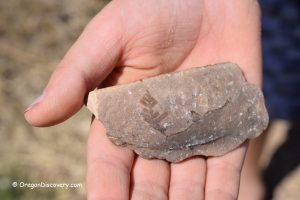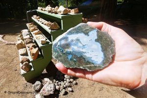
• Limb Casts from Congleton Hollow is known for its green and pink hues
![]()
![]()
![]()
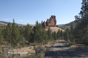
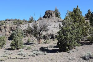
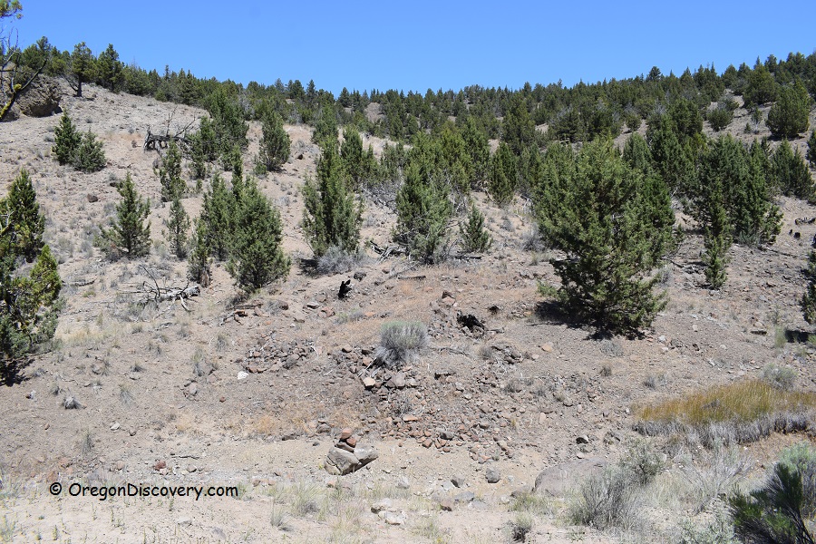
Congleton Hollow, located 60 miles east of Prineville, is a magnet for rockhounds in search of petrified wood. Recognized by the Bureau of Land Management (BLM) as a designated recreational rock and mineral site, it is also featured on the Central Oregon Rockhounding Map, available for purchase.
Spanning an impressive 640 acres, this rockhounding haven offers enthusiasts the chance to discover opalized petrified wood and limb casts in striking shades of blue, pink, and green. The most coveted find is a larger tree trunk fully replaced by agate, jasper, or quartz, which may feature quartz crystal cavities, dendritic inclusions, and intricate banding patterns.
Limb casts form when molten lava engulfs a tree that isn’t entirely burned, creating a protective mold around the limb’s exterior. Over time, groundwater minerals seep into the hollow cavity within the cast, leading to the deposition of minerals like jasper and chalcedony.

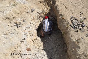
Despite its long-standing popularity, Congleton Hollow continues to offer areas where materials can be found right on the surface. For the best finds, explore the hills and creek beds, which are typically dry in the summer months.
Know Before You Go
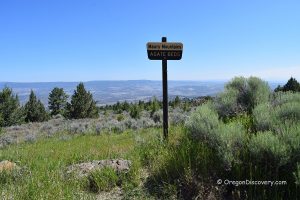
GPS coordinates provided below mark the central point and initial collecting site. From this location, travel another 0.7 miles, stopping wherever you like or exploring any branch roads. Hiking and digging generally yield larger pieces of petrified wood.
Keep in mind that the rough, bumpy road can become particularly muddy in wet conditions, so a four-wheel-drive vehicle is recommended for a smoother experience.
The rockhounding site is bordered by BLM lands to the east and north, while the southern boundary of Congleton Hollow is private property. Another nearby site known for producing limb casts is Dendritte Butte.


Congleton Hollow Camping, Lodging, & Vacation Rentals
Primitive camping is an option on BLM land, with the nearest accommodation located in Prineville, situated 60 miles away.
Affordable vacation rentals for short and long term stay at Prineville
Congleton Hollow Rockhounding Area | Facts
Open: Best time: May-October
Managed by: Bureau of Land Management (BLM)
Rocks & Minerals: Limb casts, petrified and opalized wood
Tools: Shovel, geology pick
Amenities: None
Activities: Rockhounding, camping, and wildlife observing
Distance from the parking: Vary
Road access: A high-clearance 4WD vehicle is recommended, the road can be inaccessible during wet weather
Day-use fees: None
Elevation: 4,000 ft (1,219 m)
Congleton Hollow is located:
- 60 miles southeast of Prineville
- 84 miles east of Bend
- 208 miles southeast of Salem.
Adventures Nearby
Directions to Congleton Hollow
From Prineville,
- Head southeast on Highway 380 Post/Paulina to Congleton Hollow Road
- Turn right just after milepost 51 onto Congleton Hollow Road and drive 3.9 miles where it splits
- Go to the left and continue 0.4 miles to one of the collecting sites.
Note: The first 1.1 miles of Congleton Hollow Road crosses private land. Respect the private property and stay on the road until public land is reached.

