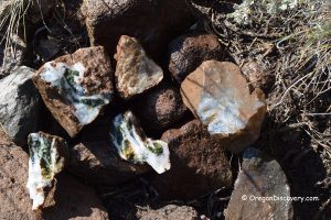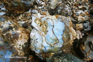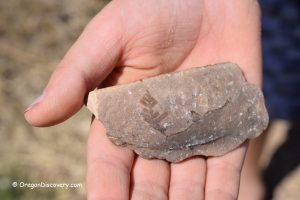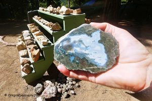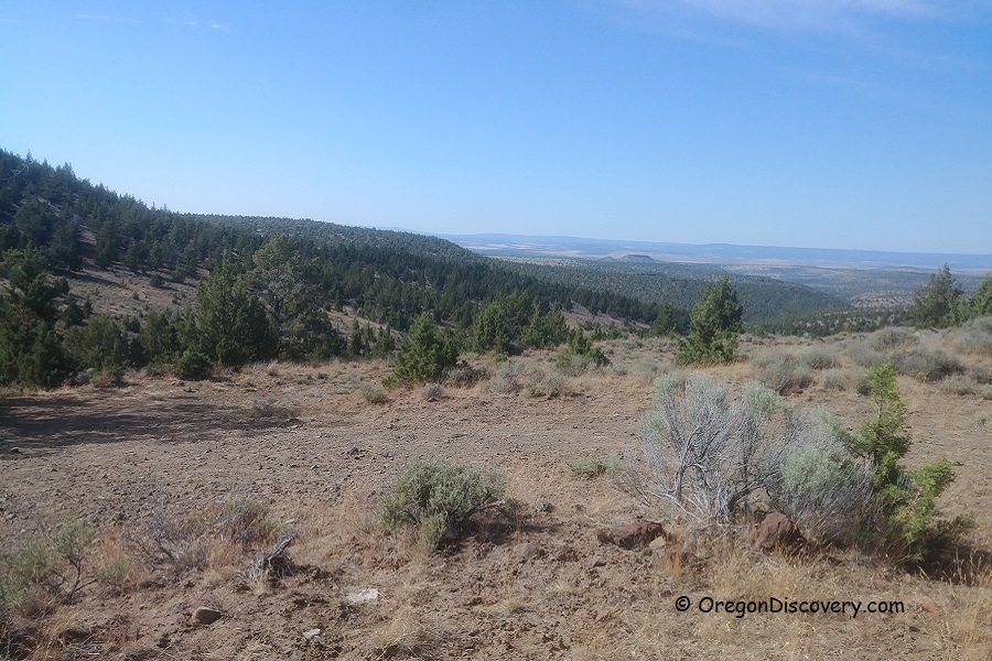
• Dendrite Butte is known for its limb casts with blue, pink, and green shades
![]()
![]()
![]()
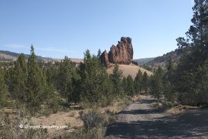
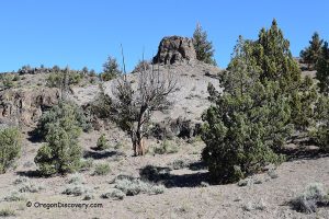
Dendrite Butte, located approximately 55 miles east of Prineville in Central Oregon, near the Congleton Hollow Rockhounding Site, is a well-known destination for rockhounding enthusiasts. This Limb Cast Collection Area is particularly famous for its limb casts featuring vibrant shades of blue, pink, and green, as well as the presence of opalized and petrified wood.
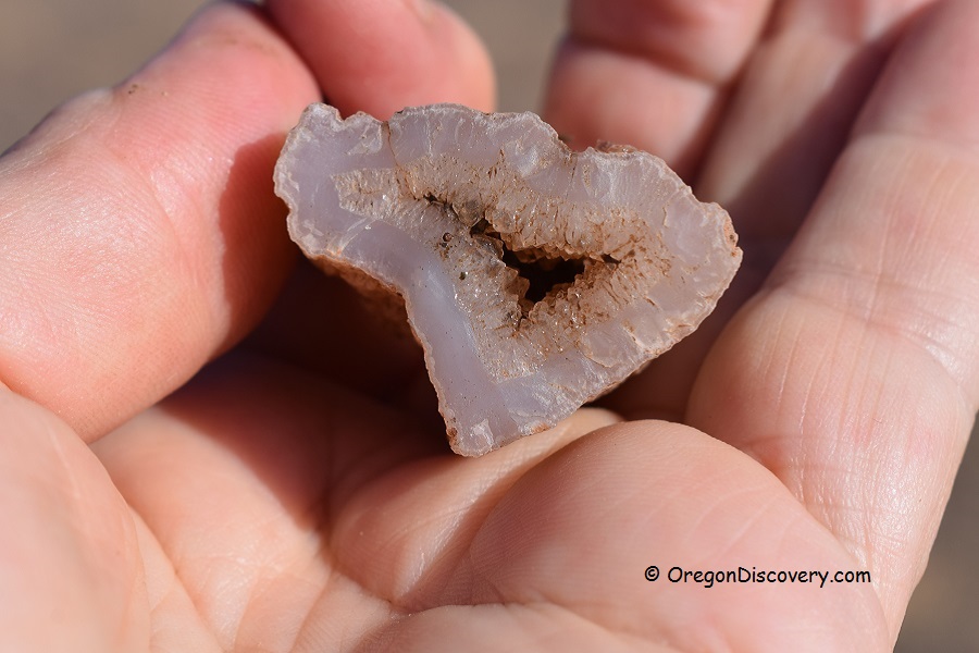
Limb Casts are formed when quartz deposits replace wood within volcanic ash cavities. The intense heat from the ash burns away the wood, leaving behind empty, tree-shaped molds. Over time, these cavities are filled with chalcedony and various minerals, forming beautiful crystals in various hues, often displaying dendritic patterns that reflect the original wood shape.
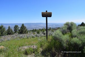
Dendrite Butte covers 540 acres and is designated by the Bureau of Land Management (BLM) as a recreational rock and mineral collecting site. It is featured on the Central Oregon Rockhounding Map, available for purchase. Collectors can find materials on the northern side of the road (to the left when approaching the area) while respecting the boundary of the South Fork Wilderness Study Area on the right, where digging is prohibited.
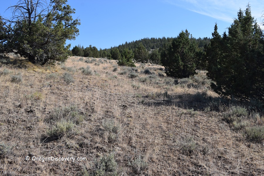
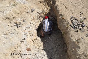
Rock collectors have two main approaches: they can either hike and explore the area for exposed or "float" materials, or engage in more hands-on digging using a shovel or pick.
While the Congleton Hollow Rockhounding Site is nearby, accessing it directly from Dendrite Butte is not possible due to private property on the northern side of the collecting area.
Know Before You Go
The journey to this rockhounding site involves navigating a rugged, uneven road that can become particularly challenging and muddy during wet conditions. It is advisable to use a four-wheel-drive vehicle for a safer and more comfortable travel experience.

Dendrite Butte Camping, Lodging, & Vacation Rentals
Primitive camping is permitted on BLM land. The nearest accommodation located in Prineville, situated 60 miles away.
Affordable vacation rentals for short and long term stay at Prineville
Dendrite Butte Rockhounding Area | Facts
Open: Best time: May-October
Managed by: Bureau of Land Management (BLM)
Rocks & Minerals: Limb casts, petrified and opalized wood
Tools: Shovel, geology pick
Amenities: None
Activities: Rockhounding, camping, and wildlife observing
Distance from the parking: Vary
Road access: A high-clearance 4WD vehicle is recommended, the road can be inaccessible during wet weather
Day-use fees: None
Elevation: 4,450 ft (1,356 m)
Dendrite Butte is located:
- 55 miles southeast of Prineville
- 80 miles east of Bend
- 204 miles southeast of Salem.
Adventures Nearby
Directions to Dendrite Butte
From Prineville,
- Head southeast on Highway 380 Post/Paulina to Camp Creek Road between milepost 43 and 44
- Turn right onto Camp Creek Road and drive 9.3 miles to a dirt road FR 6574 on the left
- Take this road just after you pass the rock quarry and drive 1.9 miles to a fork
- Bear left and continue 1.7 miles to the next fork
- Keep right and drive 0.6 miles to the next split of the road
- From this point, bear left and continue 1.2 miles to the first site.
The collection area is located on the left side (north) of the road.
To find another collecting site, go next 0.7 miles then turn left and continue 0.5 miles to a gate. Materials can be obtained on the northern and western hills.

