• Sweet Creek Trail features a dozen waterfalls
• Sweet Creek Falls and Beaver Creek Falls are the trail's highlights


Sweet Creek Trail offers a beautiful hike through a lush coastal forest, following a cascading creek through moss-covered landscapes toward the Siuslaw River.
Trail #1319 consists of five segments totaling 5.2 miles out and back.
There are no bridges across the creek, so hikers attempting the entire trail must cross Sweet Creek several times.
These crossings are usually manageable when water levels are low; however, the crossing below Sweet Creek Falls can be challenging due to slippery boulders and rocks.
During winter and spring, high water often makes creek crossings unsafe, so hikers should explore individual sections of the trail as out-and-back hikes.
Four trailheads provide access to different parts of the creek corridor, allowing visitors to enjoy the waterfalls even during periods of higher water.
Sweet Creek Falls and Beaver Creek Falls are the largest and most impressive of the many waterfalls found along this scenic coastal creek.

Sweet Creek Falls
Sweet Creek Falls is a four-tiered waterfall that drops between 10 and 30 feet per tier for a total height of approximately 70 feet.
The falls consist of two main sections, creating the appearance of several separate waterfalls cascading through the narrow gorge.
Three trailheads provide access to Sweet Creek Falls, allowing visitors to choose between shorter hikes or longer routes along the creek.

Beaver Creek Falls
Beaver Creek Falls is formed where the waters of Beaver Creek and Sweet Creek combine and plunge over a 25-foot cliff.
Beaver Creek cascades from the top of the cliff, while Sweet Creek joins halfway down, creating a uniquely shaped waterfall.
This unusual combination makes Beaver Creek Falls one of the most scenic waterfalls along Sweet Creek Trail.
The easiest way to reach Beaver Creek Falls is by taking the 0.6-mile (one-way) trail from Wagon Road Trailhead or the shorter 0.1-mile trail from Beaver Creek Trailhead.
Hiking to Sweet Creek Falls from Homestead Trailhead
Easy | 2.2 miles out & back | 350 feet elevation gain
The section from Homestead Sweet Creek Trailhead to Sweet Creek Falls is the most popular and family-friendly part of the trail. The 1.1-mile route follows the creek upstream on a gravel path that gradually changes to dirt, with occasional stairs, wooden bridges, and boardwalks leading to the waterfall.
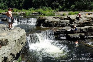
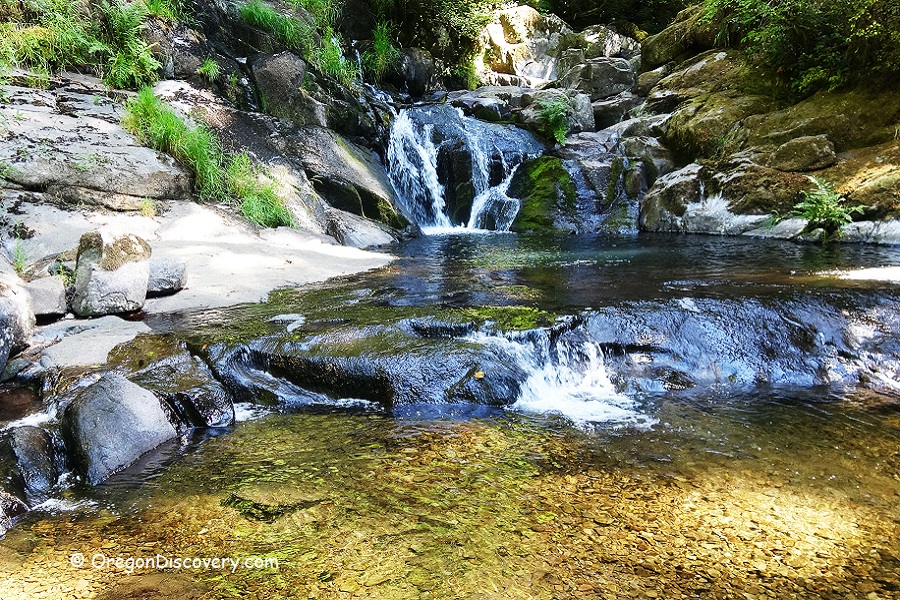
Along the way, hikers can enjoy the beauty of the Oregon Coast Range, where Sweet Creek winds through moss-covered boulders, rocky ledges, and a series of small waterfalls.
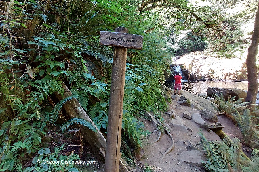
After 0.7 miles, a trail from Sweet Creek Falls Trailhead joins from the left. Continue another 0.4 miles to reach the base of Sweet Creek Falls. A steep 0.1-mile side trail leads to a fenced viewpoint overlooking the upper section of the falls, although the narrow gorge limits the overall view.
Several other trailheads nearby provide shorter routes to Sweet Creek Falls.
Directions
From Florence, take Highway 126 and travel 14 miles east to Sweet Creek Road. Turn right onto Sweet Creek Road and continue 10.2 miles to the parking on the right.

Hiking to Sweet Creek Falls from Sweet Creek Falls Trailhead
Easy | 0.8 miles out & back | 350 feet elevation gain
This trailhead is located 0.6 miles south of Homestead Trailhead by road. The parking area is on the right side of Sweet Creek Road.
This route provides the shortest access to Sweet Creek Falls, but hikers will miss several smaller waterfalls and some scenic sections along the creek.
Wagon Road Trailhead to Sweet Creek Falls and Beaver Creek Falls
1. Easy | 1.6 miles out & back | 120 feet elevation gain
This is one of the trailheads to access the trail heading to a different viewpoint of Sweet Creek Falls. Drive 0.7 miles from the second trailhead up the road and after a bridge park your car at Wagon Road Trailhead on the left. The trailhead is located on the right side of the road.
2. Easy | 1.2 miles out & back | 60 feet elevation gain
The trail to Beaver Creek Falls leads to the base of beautiful Beaver Creek Falls. This trail is located on the left side of the road just before the bridge.
Hiking to Beaver Creek Falls from Beaver Creek Trailhead
Easy | 0.3 miles out & back | 30 feet elevation gain
From Wagon Road Trailhead, drive 0.2 miles farther along Sweet Creek Road. Turn left onto the first forest road and continue 0.5 miles to the trailhead on the left.
The short trail follows Sweet Creek downstream for approximately 0.15 miles to the rocky edge of Beaver Creek Falls. A railed viewpoint provides a view of Beaver Creek joining Sweet Creek before both streams create the uniquely shaped waterfall.
Descending to the base of the waterfall is risky, especially during wet weather or periods of high water. For a safer route to the bottom of Beaver Creek Falls, use Wagon Road Trailhead.
Adventures Nearby