
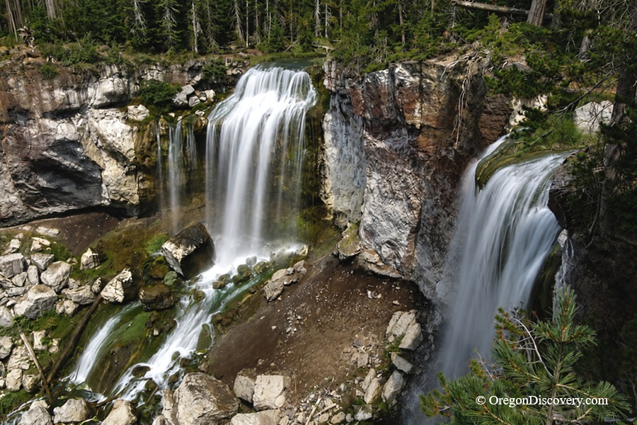
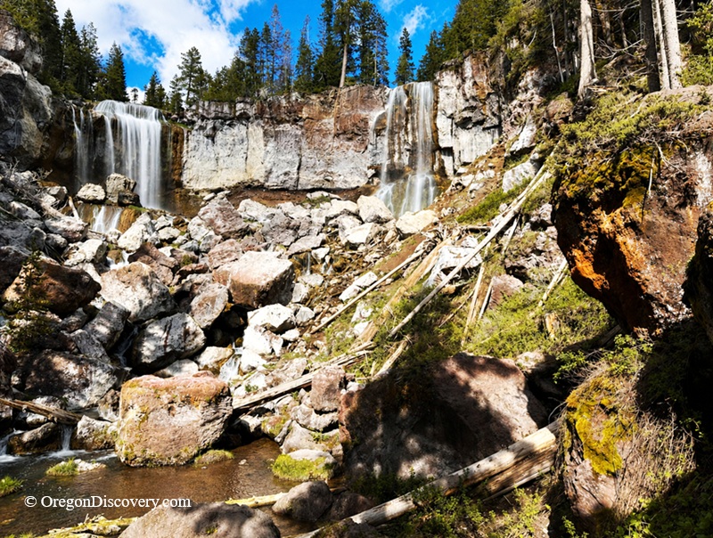
• Paulina Falls is a rare 80-foot double waterfall split into two cascading plumes by a small rocky island
Paulina Falls, also called Paulina Creek Falls, is a striking about 80-foot double waterfall in the Newberry National Volcanic Monument, about 45 minutes south of Bend.
What makes it special is its unique shape. Two plumes of water tumble side by side, split by a small rocky island at the top.
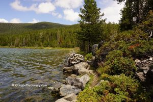
Paulina Creek flows directly from Paulina Lake before dropping over a shelf of volcanic rock into a boulder-strewn streambed below.
The falls sit at an elevation of about 6,270 feet, right on the edge of the Newberry Caldera.
Visiting here means standing within the landscape of an ancient volcano, shaped by repeated eruptions and collapse.
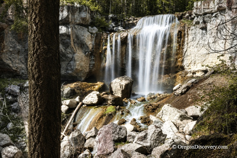
Even in late summer, when the flow is lower, the waterfall still makes an impressive sight as it spills over the cliff.
The flow remains year-round, with peak volume occurring from late spring through early summer when snowmelt feeds Paulina Lake.
Paulina Creek Falls Geology & History
Geologic activity and water erosion have played a major role in shaping Paulina Creek and its surrounding canyon. Over time, the waterfall has slowly retreated upstream as softer volcanic rock is worn away by constant water flow.
Geologists believe that large past flood events may have significantly reshaped Paulina Creek, temporarily increasing flow and moving large boulders through the canyon.
Some estimates suggest peak flows may have reached around 10,000 cubic feet per second, compared to typical flows of roughly 20 cubic feet per second - powerful enough to reshape the channel dramatically.
Today, the falls continue to erode the volcanic rock at their base, gradually reshaping the landscape.
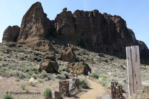
Paulina Falls Hike
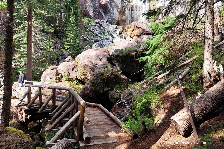
Just want a fast, easy view? You've got it. A short paved trail leads from the day-use area to a wide overlook above the falls. It's flat, simple, and great for families.
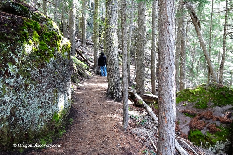
But if you want the best view, take the Paulina Falls Trail. It runs about 0.3 miles one-way with roughly 120 feet of elevation gain. The trail is unpaved but well-maintained and considered easy to moderate.
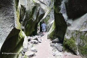
The lower viewpoint brings you closer to Paulina Creek at the base, where both streams can be seen together with the surrounding conifer forest. As you hike down, watch how the plant life changes the closer you get to the cool, misty bottom.
One interesting detail to notice is the size of the boulders near the base. They often look small from above, but appear much larger once you reach the bottom.
🔵 Horses and mountain bikes are not allowed on the trail, but leashed dogs are permitted.
Camping & Lodging near Paulina Falls
Several Forest Service campgrounds are located near Paulina Lake and East Lake within the Newberry Caldera.
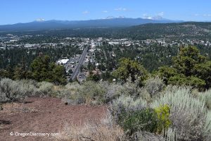
If you want more comfortable accommodations, there are plenty of options in Bend.
Paulina Falls | Facts
Open: Late May to mid-November
Managed by: U.S Forest Service
Amenities: Restrooms, picnic tables
Activities: Hiking, walking, viewpoint, photographing
Distance from the parking: Short walk to the upper overlook; 0.3 miles one way to the base
Road access: Any passenger vehicle
Day-use fees: Yes or Interagency Senior/Access/Military Pass
Elevation: 6,270 ft (1,911 m)
Paulina Falls is located:
- 18 miles east of La Pine
- 26 miles south of Bend
- 92 miles east of Eugene.
Adventures Nearby


Directions to Paulina Falls
From La Pine,
- Drive north on Highway 97
- Turn east onto Paulina-East Lake Road (Highway 21)
- Follow the road about 18 miles toward the Newberry Caldera
- Watch for the Paulina Creek Falls Day-Use Area sign and turn in
- Park in the lot near the trailhead.
The road is paved and easy for any vehicle. Once you park, take the short paved path to the overlook, or follow the lower trail down to the base of the falls.