
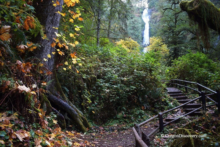
Munson Creek Falls is a towering waterfall on a rainforest trail


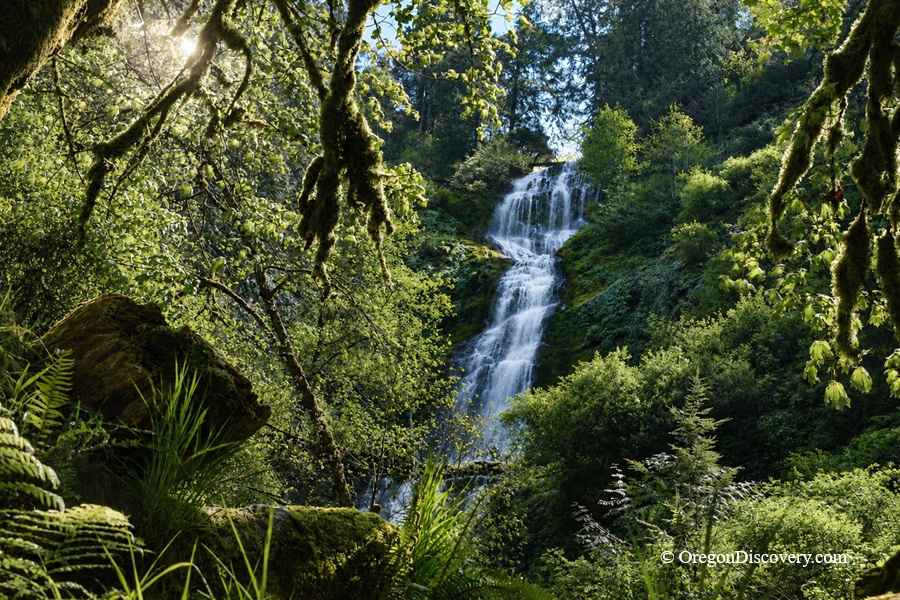
Munson Creek Falls is a towering 319-foot waterfall hidden deep in an old-growth forest just 7 miles south of Tillamook.
This scenic waterfall is the tallest in the Oregon Coast Range - even taller than the Statue of Liberty.
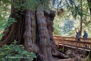
The waterfall drops in at least three tiers, cascading over moss-covered basalt cliffs into a salmon-spawning creek below. Western red cedar, Sitka spruce, big-leaf maple, and red alder form a thick canopy overhead. One massive Sitka spruce near the trail rises about 260 feet tall, making it one of the tallest known specimens in Oregon.
Viewing a waterfall nearly as tall as a 30-story building, framed by ancient trees and thick moss, creates an unforgettable scene.
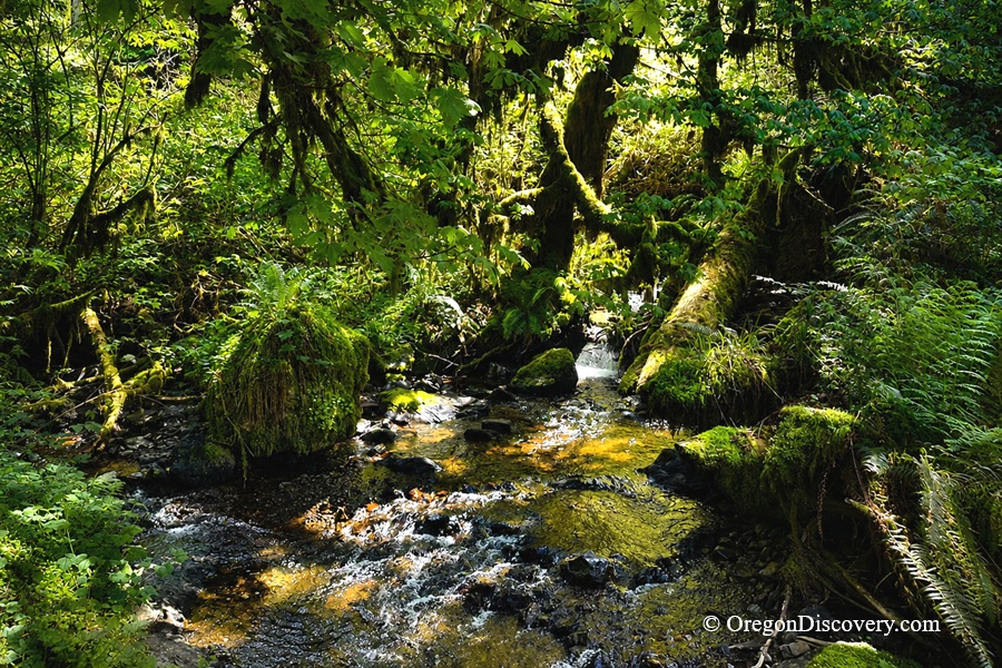
The waterfall is usually at its most powerful from late fall through spring, when seasonal rains greatly increase the flow. However, the hike through the lush old-growth forest is scenic year-round. Summer brings lush green forest, blooming trillium, corydalis, and violets, while fall sets the maples on fire with bright yellows and oranges.
The waterfall view is partly obstructed. From the official viewpoint at the end of the trail, visitors can see the middle and upper tiers, though trees and brush hide much of the full drop.
An upper trail once offered a clearer perspective, but flooding in 1996 destroyed the route and it was never rebuilt. Today, a “Trail Closed” sign marks the former path.
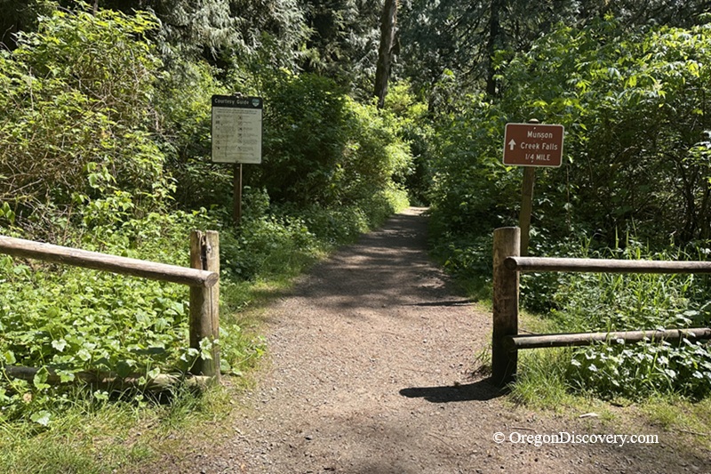
Munson Creek Falls Hike
The hike to the falls is short and relatively easy. The 0.6-mile round-trip trail gains only about 95 feet in elevation and reaches a maximum elevation of roughly 445 feet.
Beginning at the small parking area, the wide path follows Munson Creek through a lush canyon lined with salmonberry and elderberry. About halfway to the falls, the trail passes beneath a massive fallen cedar that forms a natural tunnel-like corridor.
A short side path on the right leads to the giant Sitka spruce across the creek.
Near the end, the trail climbs gently before descending and rising again toward a viewing platform bordered by a handrail. From here, the waterfall comes into view. The hike usually takes about 30 - 40 minutes round trip.
Camping & Lodging at Munson Creek Falls
Camping is not allowed at Munson Creek Falls State Natural Site. The closest campground is Cape Lookout State Park, about 18 miles to the west, or Nehalem Bay State Park, an oceanfront park with a fly-in campground located 25 miles north.
For more comfortable stays, swing by Tillamook just 7 miles north.
Affordable vacation rentals for short and long term stay in Tillamook
Munson Creek Falls | Facts
Open: Year-round
Managed by: Oregon State Parks
Amenities: Hiking trail, picnic area, viewpoint, port-a-potty at trailhead
Activities: Hiking and photographing
Distance from the parking: 0.3 miles one-way
Road access: Any passenger vehicle
Day-use fees:None
Munson Creek Falls is located:
- 7 miles south of Tillamook
- 18 miles east of Cape Lookout
- 75 miles west of Portland.
Adventures Nearby




Directions to Munson Creek Falls
From US 101 in Tillamook,
- Drive 7 miles south on US 101
- Turn east onto Munson Creek Road (watch for the brown state park sign)
- Follow the road 1.5 miles as it turns from paved to gravel
- Continue to the small parking area at the trailhead.
The road narrows and gets bumpy near the end, so take it slow. Once parked, follow the signed trail 0.3 miles to the waterfall viewpoint.