
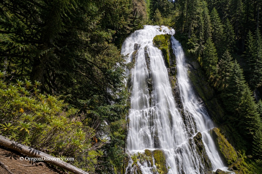
Diamond Creek Falls drops in a glittering fan among old-growth forests in Oregon’s Cascades


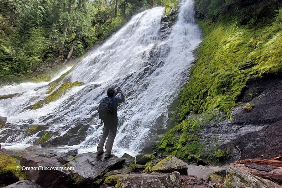
Diamond Creek Falls is a beautiful waterfall in the Willamette National Forest, about 23 miles southeast of Oakridge.
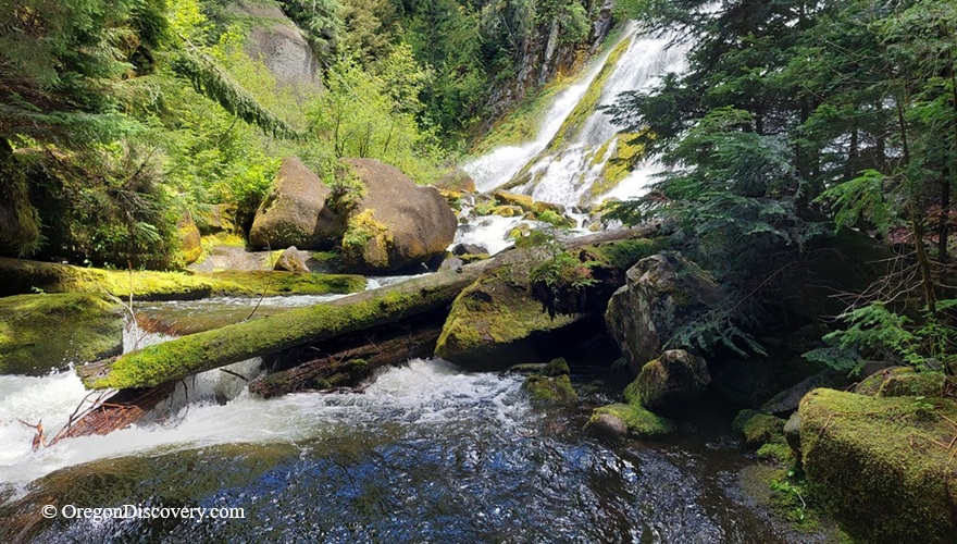
At roughly 90 feet high, it drops in a glittering fan of water. After that, the creek continues another 500 feet through a series of cascades known as the Lower Falls.
The waterfall sits deep in the Cascade Mountains, just 5 miles west of Willamette Pass.
Surrounded by old-growth forest and blooming spring rhododendrons, Diamond Creek Falls is a perfect place to hike, chase waterfalls, and snap unforgettable photos.
Diamond Creek Falls Hiking Trails
The first time I hiked to Diamond Creek Falls, the steep climb down honestly caught me off guard. But that close-up view at the bottom? Worth every step.
The trail brings you close enough to experience the cool mist from the falls.
It begins at the Salt Creek Falls Observation Site parking lot and follows the rims of both Salt Creek and Diamond Creek canyons.
The loop trail is about 4 miles long, though your total hiking distance ranges from 3.5 to 4.5 miles, depending on which side trails you choose.
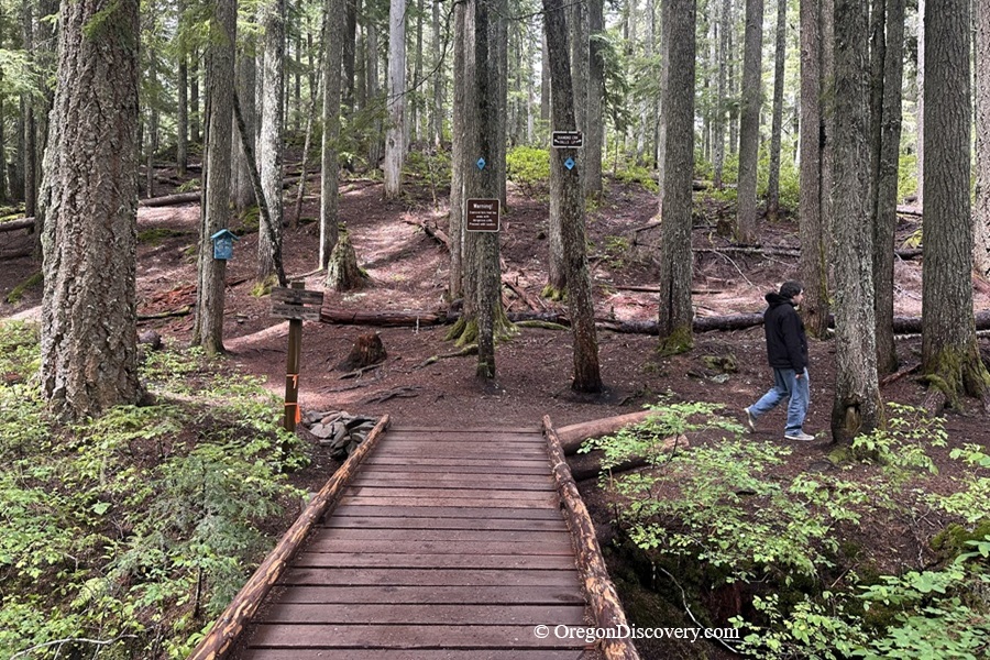
If you begin on the longer right-hand section of the loop, you'll reach the waterfall after about 2.25 miles.
Along the way, you'll pass the peaceful waters of Too Much Bear Lake, a quiet forest lake tucked among the trees. We didn't see any bears, but we did enjoy the tranquil scenery at this hidden gem.
The left-hand section of the loop is about 1.75 miles long.
Diamond Creek Falls Trail is generally rated moderate to difficult due to the steep descent to the falls and the steep climb back up.
From either side of the loop, a short 0.25-mile spur trail leads to the base of the upper falls for a dramatic view looking straight up at the cascading water.
This spur trail is steep, so watch your footing on the giant boulders and loose rocks. Stay alert, as rocks and debris can come over the falls without warning.
The loop trail also passes an upper viewpoint, where you can watch Diamond Creek spill over the edge before plunging into the canyon below.
For a longer adventure, the Diamond Creek Falls Trail connects to the Vivian Lake Trail #3662.
The waterfall can be visited year-round, but the seasons change everything.
In winter, facilities close, and the trailhead sits next to the Salt Creek Sno-Park, making it a popular spot for snowshoeing.
Trails get icy or snow-covered, so snowshoes or traction devices really help.
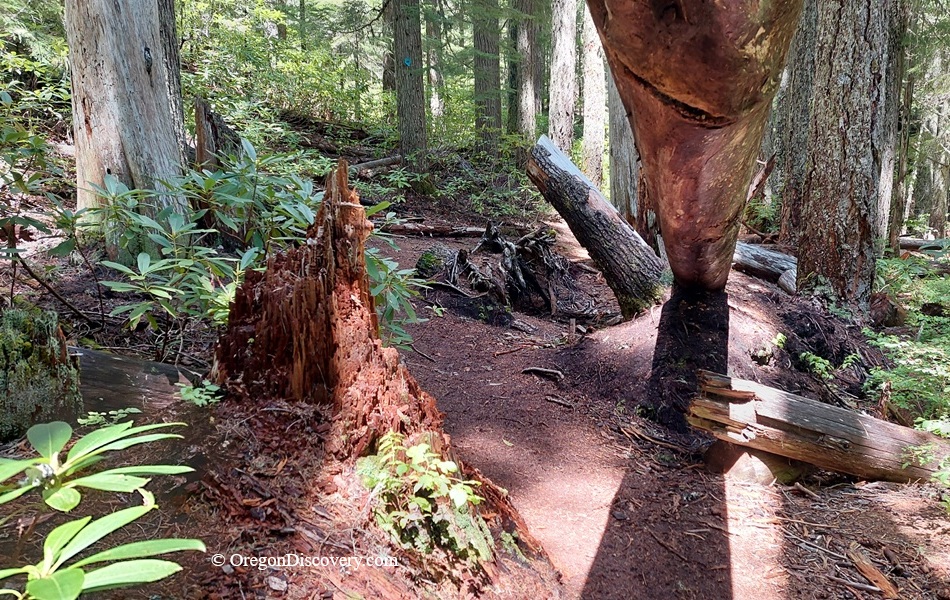
In spring, meanwhile, the forest bursts with rhododendrons in bloom, though the mosquitoes can get pesky, too.
Diamond Creek Falls Camping, Lodging, and Vacation Rentals
No camping is allowed directly at the falls, but plenty of options sit nearby.
Black Canyon Campground and Blue Pool Campground, both near Oakridge, offer riverside sites with picnic tables, fire rings, and vault toilets.
For hotels, cabins, or vacation rentals, Oakridge is the closest town at about 23 miles northwest, while Eugene sits roughly 64 miles away with a wider range of stays.
Affordable vacation rentals for short and long-term stays at Oakridge
Affordable vacation rentals for short and long-term stays at Eugene
Diamond Creek Falls | Facts
Open: Year-round
Managed by: U.S. Forest Service
Amenities: Trailhead parking, restrooms at Salt Creek Falls site
Activities: Hiking, nature viewing, photography, and snowshoeing
Day-use fees: Yes or Interagency Senior/Access/Military Pass
Elevation: 4,000 ft (1,219 m) at the top of the falls
Diamond Creek Falls is located:
- 5 miles west of Willamette Pass
- 23 miles southeast of Oakridge
- 64 miles southeast of Eugene.
Adventures Nearby






Directions to Diamond Creek Falls
- Take Oregon Route 58 southeast for about 23 miles
- Look for the signs to Salt Creek Falls and turn onto FS Road 5893
- Follow the Salt Creek signs to the parking area.