
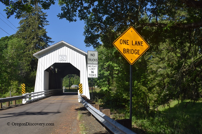
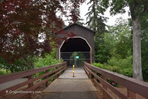
Coyote Creek Covered Bridge is a historic 1922 Howe truss bridge
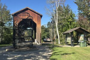
Coyote Creek Covered Bridge is located on Battle Creek Road, just off Territorial Highway, south of Veneta and near the community of Crow in Lane County, Oregon.
This historic 60-foot (18 m) Howe truss covered bridge spans Coyote Creek in the South Willamette Valley, about a short drive west of Eugene.
The bridge is sometimes locally referred to by alternate names such as Battle Creek Bridge. It remains open to light traffic up to 16 tons and continues to serve as a functional rural crossing.
For visitors interested in covered bridges, scenic country roads, and quiet creek settings, it is a notable stop in Lane County’s collection of historic bridges.
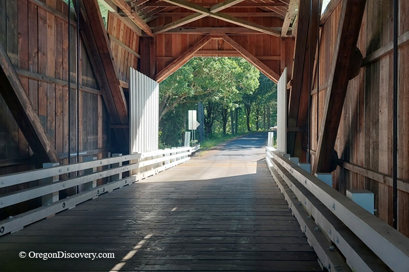
Coyote Creek Covered Bridge History
Have you ever wondered how a bridge built over 100 years ago is still standing strong? This one has quite the backstory.
Built in 1922, Coyote Creek Bridge was once a key part of the Territorial Road, which pioneers used to travel through the Willamette Valley since the mid-19th century.
When newer roads were developed, the bridge was gradually bypassed by heavier traffic and remains in a quieter rural setting today.
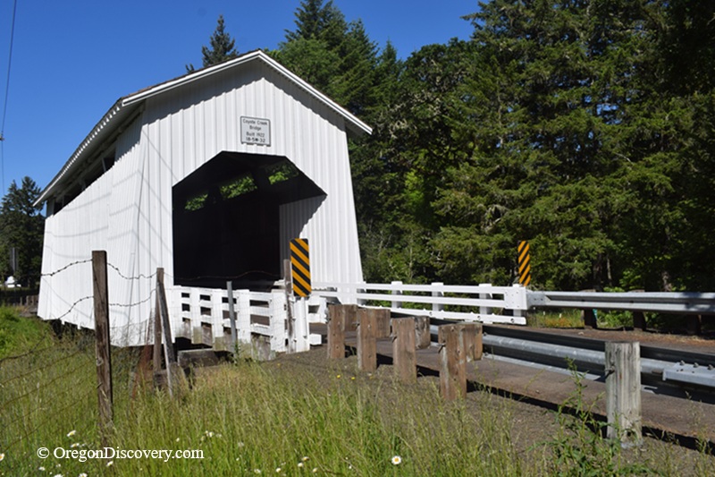
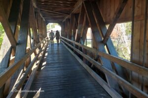
The structure includes traditional covered bridge design features such as a Howe truss system and small ventilation openings along the upper walls.
These details allow light and air to pass through while helping preserve the wooden structure.
In 1979, the bridge was listed on the National Register of Historic Places.
It underwent significant rehabilitation in 2003, which helped preserve its structural integrity and continued use.
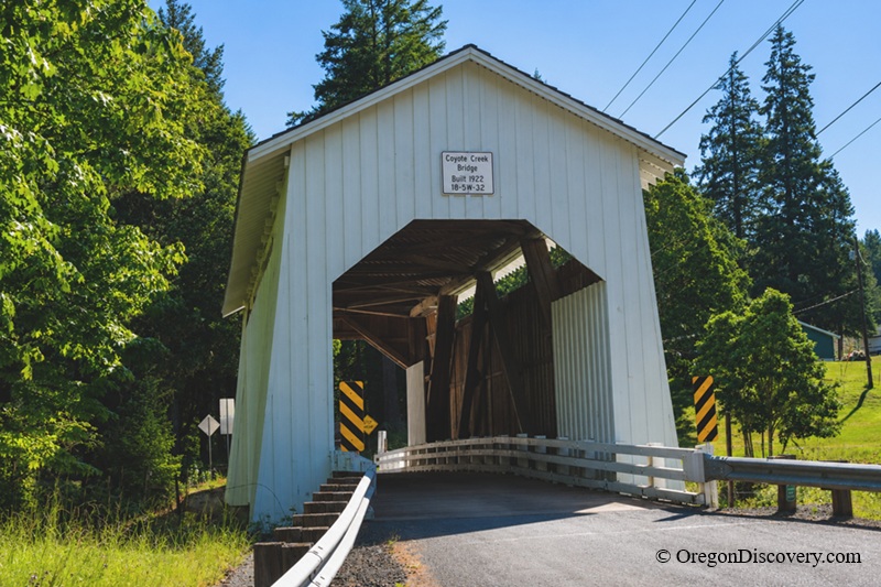
Why is this bridge so special?
Pioneer History: Built in 1922 on the original Territorial Road, Coyote Creek Bridge ties back to Oregon's earliest pioneer travel routes through the Willamette Valley.
Survivor Story: From the 1969 snow collapse to the 2003 refurbishment, this bridge has stood the test of time and still carries traffic over Coyote Creek.
Coyote Creek Covered Bridge | Facts
Architectural Design: Covered Howe truss bridge with housed buttresses, rectangular portals, and ribbon vent openings
Bridge access: Open to vehicles up to 16 tons, no thru trucks; pedestrians welcome
Stream: Coyote Creek
Bridge Length: 60 ft (18 m)
Built: 1922 (re-roofed 1969, refurbished 2003)
Elevation: 350 ft (110 m)
Coyote Creek Covered Bridge is located:
- 1 mile south of Veneta
- 6 miles west of Eugene
- 15 miles north of Lorane.
Adventures Nearby



Directions to Coyote Covered Bridge
- Take Highway 126 and travel west for about 6 miles to Green Hill Road
- Turn left onto Green Hill Road which becomes Crow Road and follow it for 8 miles
- Turn left onto Territorial Highway and drive 1 mile
- Turn right onto Battle Creek Road.