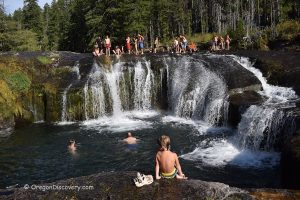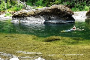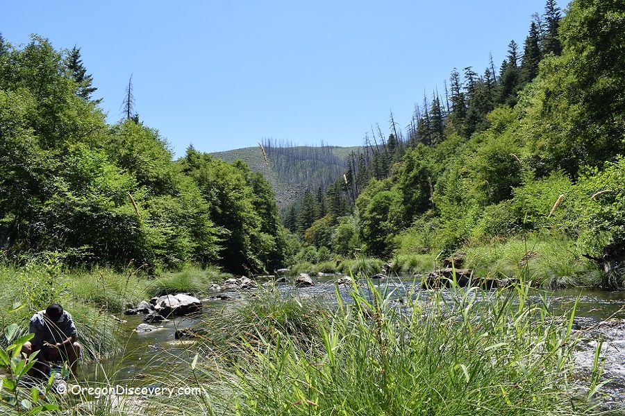
• Lower Cow Creek is a productive spot for recreational gold prospectors
• In addition to gold, you can also find quartz, agate, and jasper
There are several productive spots for recreational gold prospecting along the Lower Cow Creek Byway, not far from Interstate-5. In fact, Cow Creek, a tributary of the South Umpqua River, was one of the major gold producers in Southern Oregon during the Gold Rush Era.
Not all the gold was extracted by prospectors; some material remains, and it's still possible to find small flakes and fine gold in the creek sediments. The creek accumulates most of the gold and various minerals during the rainy season, when runoff from the surrounding mountains carries them.
Hand‑held tools such as gold pans, shovels, and small sluice boxes are allowed at the Cow Creek Recreational Mining Area. Small suction dredges may be permitted under specific conditions, so it’s best to contact the BLM for the current rules before using them.
Besides gold, you can also find quartz, agate, jasper, and serpentine.
Here are some of the most productive and accessible spots on the river to prospect.
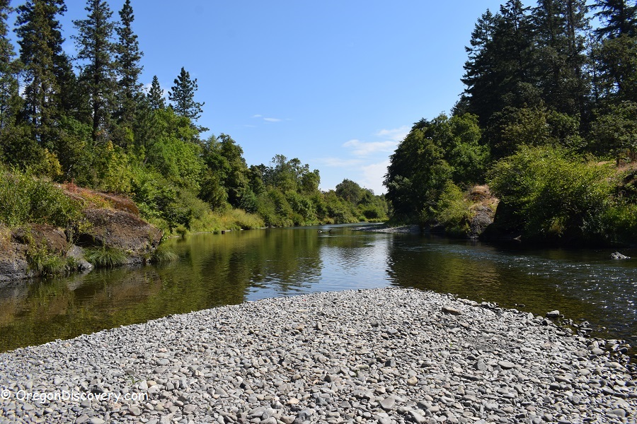
Cow Creek Gold Panning Area
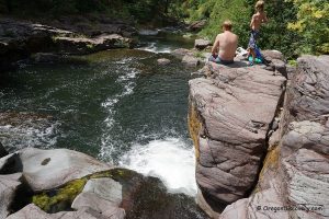
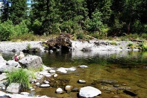
Cow Creek Gold Panning Area is a 1,300-foot section of Cow Creek, located 21 miles southwest of Riddle. The area is open for public non-commercial gold panning and rockhounding. Park your car on the gravel wayside along the road and find a path down to the creek.
GPS: N 42°49.776' W 123°37.082' | 42.829600, -123.618033
Island Creek Day Use Area
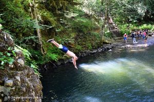
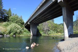
Island Creek is located about 8 miles southwest of Riddle. This is a great scenic spot to explore the creek. This area is also great for picnicking, swimming, fishing, and nature viewing. There is a picnic table and a vault restroom.

Other Areas
Please be mindful of multiple mining claims located along the creek.
The areas listed below did not have private claim markers at the moment of this writing, but this is subject to change. Check before you go.
Union Creek: N 42°52.002' W 123°34.567' | 42.866700, -123.57612
Iron Mountain Creek: N 42°54.241' W 123°32.023' | 42.90402, -123.533717
Squaw Creek: N 42°55.239' W 123°26.960' | 42.920650, -123.449333
Cow Creek Camping, Lodging & Vacation Rentals
When visiting Cow Creek, you can stay at Skull Creek Campground, one of the closest developed campgrounds to the creek along the Cow Creek Back Country Byway. This small forest campground with a handful of first-come, first-served sites for tents and small RVs, set among trees near the water.
The campground includes basic amenities such as picnic tables, fire rings, and vault toilets, but no hookups, showers, or drinking water, so visitors should bring their own water and pack out all trash.
You can also camp at Upper Cow Creek / BLM dispersed sites found at small pullouts and clearings along the creek. These informal spots provide flat areas for tents and small trailers and convenient access to Cow Creek.
These dispersed sites typically offer simple rock fire rings but no developed restrooms, water, or trash service, so campers must be fully self-contained and follow Leave No Trace principles.
Another nearby option is West Fork Cow Creek dispersed camping areas, small roadside and riverside clearings just off the byway. These are best for tent camping or small rigs and give quick access to the creek and nearby trails.

Amenities here are minimal, usually limited to existing fire rings and natural seating areas, with no hookups or facilities, making them a quiet but very rustic choice for camping close to Cow Creek.
If you are looking for more comfortable accommodations, Canyonville has plenty of hotels and rentals to choose from.
Adventures Nearby


