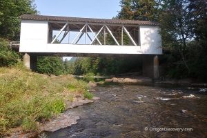
• Short Covered Bridge is a historic wooden structure
• This is the only covered bridge left over the South Santiam River
One of the 17 Oregon's covered Howe truss-style bridges, the Short Bridge is located 12 miles to the east of Sweet Home by the small community of Cascadia.
This is the only remaining historic covered bridge over the South Fork of the Santiam River.
This 105 feet bridge is open for traffic, carrying High Deck Road over the river. Its unique feature is a wooden shingle roof since there are only a few bridges left with such material used.
The bridge was constructed in 1945 and was first known as Whiskey Butte Bridge, but later renamed after a local resident Gordon Short.
In 1979, this covered bridge was added to the National Register of Historic Places. In 1991, major work was done to ensure the structural integrity of the bridge and its overall condition.
Cascadia Day-Use Area at Highway 20 offers parking with picnic tables and an information kiosk explaining the history of the area.
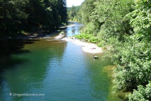
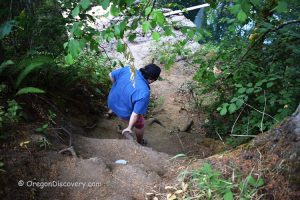
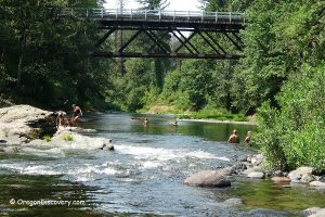
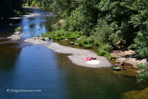
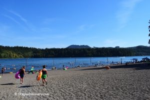
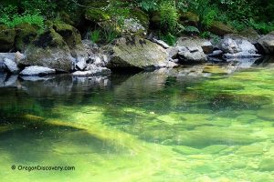
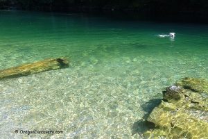
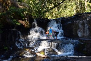
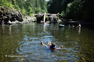
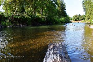
The stretch of the river below the covered bridge is a great spot for swimming, wading, and rockhounding. The trail to the river is short but steep.
Short Covered Bridge | Facts
Architectural Bridge Design: Howe truss
Bridge access: Pedestrian and vehicle
Stream: South Santiam River
Bridge Length: 105 ft (32 m)
Built: 1945
Open: Year-round
Short Bridge is located:
- 13 miles east of Sweet Home
- 53 miles northeast of Eugene
- 64 miles southeast of Salem.
Adventures Nearby
Directions to Short Covered Bridge
From I-5,
- Take exit 228 for OR-34 toward Corvallis
- Head 5.4 miles east on OR-34 to Denny School Road
- Turn right onto Denny School Road and drive for 1.2 miles
- Continue 2.2 miles onto Airport Drive to US-20 (Main Street)
- Turn right onto US-20 and follow 25.5 miles to the destination on the left.


