• Da-Ku-Be-Te-De - Swayne Viewpoint and Trailhead is an excellent place to enjoy scenic views
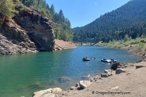
Da-Ku-Be-Te-De - Swayne Viewpoint and Trailhead are located on the northern edge of Applegate Lake near the Applegate Dam. This area is a convenient stop for enjoying a wide lake panorama and taking a scenic hike along the shoreline. Applegate Lake is a popular destination for swimming, boating, fishing, canoeing, kayaking, camping, hiking, biking, and picnicking.
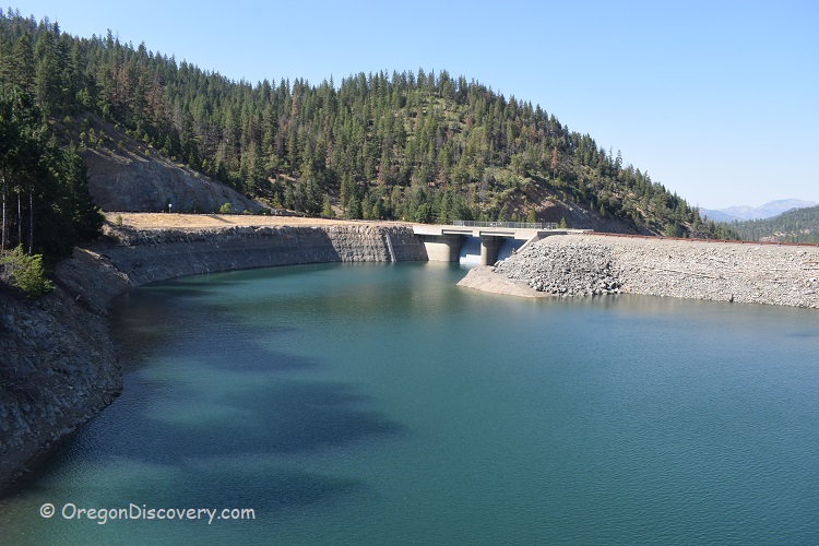
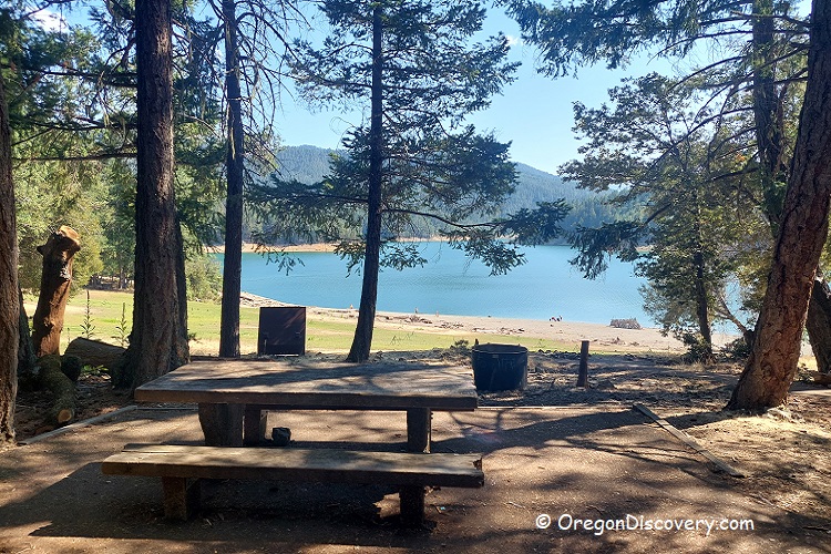
Swayne Viewpoint offers a stunning panoramic view of Applegate Dam and the Intake Tower, along with the northeastern portion of the lake and surrounding mountain peaks. Visible landmarks may include Red Buttes, Kangaroo Mountain, Green Butte, Stein Butte, Elliott Creek Ridge, and Woodrat Mountain. The viewpoint has a small parking area, a vault toilet, and a picnic table.
Da-Ku-Be-Te-De Trail
The Da-Ku-Be-Te-De Trail is named after a small group of Native Americans who once lived in the Applegate Valley. This moderate loop hike is approximately 8.5 miles long and follows the northern shoreline of Applegate Lake, extending toward Watkins Campground.
Applegate Lake Fishing
Applegate Lake is a popular spot for both bank and boat fishing. The lake has an average depth of about 83 feet and reaches a maximum depth of 225 feet. Anglers may catch stocked rainbow trout and, in deeper areas, landlocked Chinook salmon. The bridge near this site is commonly used for trout fishing.
Hart-tish Park, located nearby, provides a boat ramp.
Bank fishing is also possible at many locations around the lake, where anglers can catch largemouth bass, smallmouth bass, and crappie, especially during the summer months.

Applegate Lake Camping and Lodging
Hart-tish Park campground is the closest place to Swayne Viewpoint and Da-Ku-Be-Te-De Trailhead. It offers tent and RV sites near the lake, along with amenities such as paddleboard and kayak rentals.
Watkins Campground provides campsites with vault toilets, picnic tables, and fire rings.
Carberry Creek Campground offers tent sites, vault toilets, and drinking water. Additional campgrounds around Applegate Lake include French Gulch, Hart Point, and Tipsu Tyee.
If you’re planning an overnight stay, several nearby towns provide comfortable lodging options for all budgets.
Affordable vacation rentals for short and long term stay in Jacksonville

Da-Ku-Be-Te-De - Swayne Viewpoint and Trailhead | Facts
Open: Year-round
Managed by: U.S. Forest Service
Amenities: Restrooms, picnic sites, campsites, drinking water, boat ramps
Activities: Boating, fishing, swimming, kayaking, paddle boarding, camping, horseback riding, hiking, and nature viewing
Distance from the parking: Short
Road access: Any passenger vehicle
Day-use fees: Yes, at some areas or Interagency Senior/Access/Military Pass
Elevation: 1,900 ft (579 m)
Applegate Lake is located:
- 28 miles southwest of Medford
- 40 miles southwest of Ashland
- 110 miles southeast of Roseburg.
Body of water: Artificial lake
Surface area: 988 acres
Shoreline: 18.5 miles (29.8 km)
Maximum depth: 225 ft (69 m)
Water Characteristics
Depth: Deep and shallow
Beach: Varies
Water T° (summer): Warm
Adventures Nearby
Directions to Da-Ku-Be-Te-De - Swayne Viewpoint
From Medford,
- Take OR-238 West
- Turn right onto OR-238 West/E California Street and follow it for 7.8 miles
- Turn left onto Upper Applegate Road and follow it for 15 miles
- Turn left into the parking lot.


