• Fall Creek Swimming Hole is a great destination for swimming
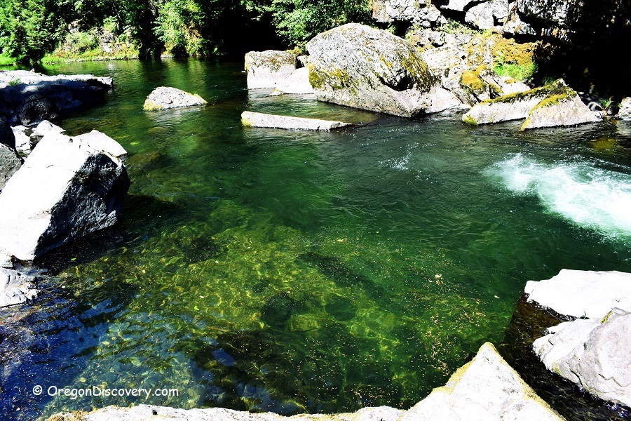
Explore and enjoy the extraordinary beauty of the Fall Creek swimming spots in the day-use area, located about 2 miles east of Fisherman's Point Group Camp along the Big Fall Creek Road. This scenic spot offers refreshing swimming opportunities, cliff jumping, and rope swinging. Access to the swimming area is easy, with a short walk leading to small and large pools beneath a series of creek cascades. The riverbank features cliffs, rocks, and wide ledges, providing a unique natural setting.
Salmon angling is currently closed due to Chinook salmon releases as part of watershed restoration efforts.
For those seeking more secluded swimming pools along Fall Creek, the 13.7-mile Fall Creek National Recreation Trail offers a scenic hike through the stunning national forest. This year-round trail winds alongside the creek, revealing hidden pools and breathtaking landscapes.
Cautions: Cliff jumping and slippery rocks pose risks—please use caution and make safe decisions while exploring the area.
Camping at Fall Creek Swimming Hole 1
Six campgrounds along Fall Creek and one on Fall Creek Lake provide options for those looking to extend their stay. For all campgrounds reservation is recommended at www.recreation.gov.
Fall Creek – Day-use Area | Facts
Open: May - September from sunrise to sunset
Managed by: US Forest Service
Amenities: None
Activities: Swimming, hiking, rope swinging, jumping
Distance from the parking: Short
Road access: Any passenger vehicle
Day-use fees: None
Elevation: 976 ft (297 m)
Fall Creek Swimming Hole 1 is located:
- 31 miles east of Eugene
- 92 miles southeast of Salem
- 137 miles southeast of Portland.
Swimming hole rating: 4 out of 5
Body of Water: River
Water quality: Transparent
Current: Light to moderate
Depth: Deep and shallow
Beach: River rocks and rock formation
Water T° (summer): Cool
Adventures Nearby
Directions to Fall Creek Swimming Hole 1
From I-5,
- Take Exit 194 A for Highway 126 East
- Follow 6.8 miles on Highway 126 to Bob Straub Parkway
- Continue straight 7.6 miles on Bob Straub Parkway, then Highway 222 South and Jasper/Jasper Lowell Roads to Place Road
- Turn left onto Place Road/Big Fall Creek Road and continue 4.5 miles
- Bear left after passing Winberry Creek Road and follow for about 10 miles to the destination on the left.
GPS: N 43°57.900' W 122°37.560 | 43.965, -122.6267


