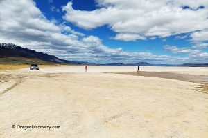
Located in Harney County, 35 miles northeast of Burns, this collecting area takes its name from the nearby North Beede Reservoir. The rugged, sagebrush-covered hills and flats are rich in collectible rocks, including agate, plume agate, jasper, and petrified wood. Fossil leaves can also be found in specific locations.
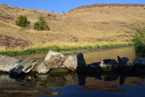
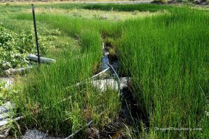
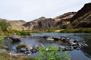
The road through the area is rough, and a high-clearance 4WD vehicle is recommended. The road crosses a creek several times and can become muddy or uneven.
North Beede Reservoir Rockhounding
Agate is scattered throughout the area, typically clear or gray, with some pieces displaying pink, yellow, or blue tint.
Jasper is common and comes in various sizes in shades of red, yellow, and brown.
Petrified Wood is generally small, often in red or brown tones.

Site 1: If you do not have a proper vehicle, park at the highway or drive 0.2 miles to the fork. From there, explore the surrounding flats and sagebrush for small to medium-sized float agate, jasper, and petrified wood scattered across the ground.
Site 2: From the fork, follow the left road for about 0.7 miles. Cross the creek (if conditions permit) to reach the white cliffs, a prime location for finding fossil leaves. Look for leaf imprints in the chalky white rock, and use a geology pick or chisel to split the stone and reveal fossils carefully.
Other Sites: Beyond Site 2, continue another 1.8 miles to the BLM land border. The further you venture from the highway, the larger the materials tend to be. Search promising spots such as hills, gulches, and dry washes for unique finds.

North Beede Reservoir: Camping, Lodging, and Vacation Rentals
Camping is allowed on BLM land, and primitive camping is available at Warm Springs Reservoir.
If you prefer a more comfortable stay, the nearest lodging is in Hines and Burns.
Know Before You Go
North Beede Reservoir is a remote and rugged area. Proper preparation is essential for a safe and enjoyable trip.
- Lack of Services: There are no nearby gas stations, food, or water. Bring everything you need.
- Road Conditions: The road deteriorates quickly, especially after rain. If it looks muddy, park at the turnoff and hike in.
- Wildlife Precautions: Watch for snakes and other desert wildlife. Wear sturdy boots and gloves.
- Supplies: Bring spare tires, sunscreen, and plenty of water. Due to limited cell service, inform someone of your travel plans or carry a satellite communication device for emergencies.
- Safety Preparations: Familiarize yourself with desert safety practices to better prepare for the unique challenges of this remote and stunning landscape.
North Beede Reservoir | Facts
Best time: Late spring to summer
Managed by: Bureau of Land Management (BLM)
Rocks & Minerals: Agate, jasper, petrified wood, and fossil leaves
Tools: Geology pick and chisel
Amenities: None
Activities: Rockhounding, camping, and wildlife watching
Distance from the parking: Vary
Road access: A high-clearance 4WD vehicle
Day-use fees: None
Elevation: 3,658-3,840 ft (1,115-1,170 m)
North Beede Reservoir is located:
- 35 miles northeast of Burns
- 166 miles east of Bend
- 317 miles southeast of Portland.
Adventures Nearby
Driving Directions to North Beede Reservoir
From Burns,
-
- Take U.S. Highway 20 and follow it for 35 miles
- Look for an unmarked dirt road between mileposts 166 and 167
- Turn onto the dirt road and travel about 0.2 miles to a fence. Go through the fence and close it behind you
- Park at the fork in the road or continue exploring if your vehicle can handle rough terrain.
GPS (Site 1): N 43°45.287' W 118°28.527' | 43.7548, -118.47545
GPS (Site 2): N 43°45.699' W 118°29.106' | 43.7611, -118.485
You May Also Like

