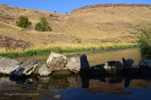
Beulah Hot Springs
 Beulah Hot Springs is located 18 miles north of Juntura in Agency Valley at the northeastern edge of the Beulah Reservoir. Currently, it does not offer a great soaking - the bathtub is corroded and hoses hardly transfer the hot mineral water from the source.
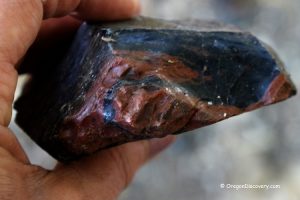
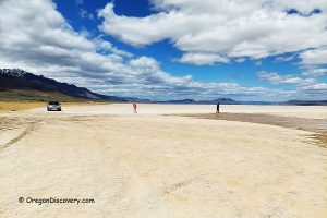
Beulah Reservoir Fossil Sites
 The site features exposed white, chalky hillsides containing well-preserved Miocene-era leaf fossils dating back millions of years. The best time to visit is from late spring to early fall when water levels are low, exposing more fossil-bearing layers.
Beulah Reservoir Fossil Sites: A Window into the Miocene Era