
• Parvin Covered Bridge replaced an 1880s bridge condemned in 1917 for severe worm damage
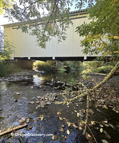
• Easy bank access lets you view and photograph the underside of the bridge
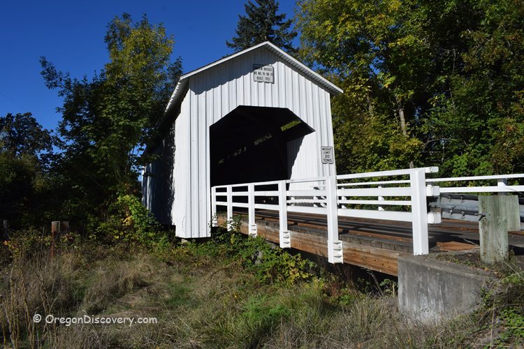
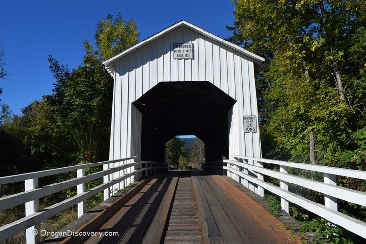
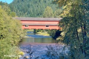
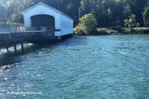
The Parvin Covered Bridge crosses Lost Creek in Lane County, southeast of Pleasant Hill and a short hop off OR‑58 near Dexter and Lowell. This bright white span is a classic Oregon Howe truss.
Built in 1921, the single‑lane, 75‑foot (23 m) bridge links quiet farm roads and rolling hills. Today, you can still drive it and feel that old Oregon charm around you.
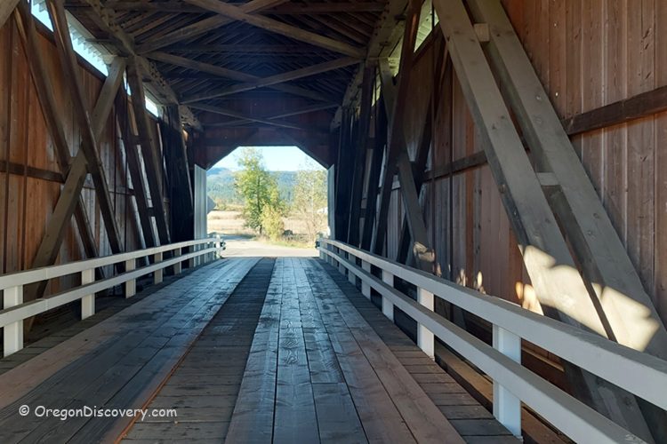
I like how light slips through the siding and paints soft lines on the beams. You hear the creek below and a faint echo as tires roll over the plank deck. Do you enjoy that calm wood‑and‑water vibe too? It's simple, and it sticks with you.
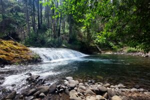
If you want to keep exploring, add Dexter Reservoir, Lowell Covered Bridge, and the Willamette Valley backroads loop. It's an easy stop on a Highway 58 day trip from Eugene.
Parvin Covered Bridge History
If you love Oregon covered bridges, this site is a sweet Willamette Valley classic. The first bridge here went up in the late 1880s. In 1917, Inspector J. W. McArthur said the old Howe truss was worm‑eaten and failing. His warning led to a full replacement within a few years.
In 1921, Lane County hired builder George W. Breeding. He erected the current Howe truss for $3,617 (about $63,800 in today's dollars). The bridge spans 75 feet (23 m) with a 62‑foot (19 m) east approach and a 17‑foot (5.2 m) west approach. It served local farms near Dexter, Pleasant Hill, and Lowell.
Roadwork in the mid‑1970s realigned traffic and bypassed the span. For years, only pedestrians crossed. Then the story turned. In 1979, Parvin Covered Bridge joined the National Register of Historic Places. On November 17, 1986, Lane County reopened the renovated bridge to vehicles with a posted 10‑ton (9,100 kg) limit.
The granddaughters of early settlers James and Salina (Selenia) Parvin attended the ceremony, tying the bridge back to its 1850s homestead roots.
In 1996, crews raised the bridge about a foot for more clearance, added new rails and siding, replaced some supports, and installed a new roof and fresh paint. Today, posted access typically allows vehicles up to local limits with a maximum height near 11'11". Always check on‑site signs.
Why is this bridge so special?
Why is this bridge so special?
Historic Significance: Built in 1921 to replace an 1880s span; bypassed in the 1970s; restored and reopened to vehicles on November 17, 1986; listed on the National Register of Historic Places in 1979.
Peaceful Setting: Rural lanes, a gentle creek, and easy bank access let you view the underside for photos and close‑up details.
Oregon Covered Bridge Charm near Dexter and Lowell
Lane County holds more covered bridges than any other Oregon county, and Parvin fits right in. It's small, tidy, and photogenic. As you roll up, the bright portals frame fields and maples. Inside, the timber shows clean diagonals and sturdy chords. Moreover, you can hear Lost Creek talk under the deck.
I like golden hour here. The white siding glows, and shadows stretch across the planks. Do you like soft light for photos? This is your window. On a mild day after rain, the wood smell rises, and the creek sound turns crisp.
Parvin Covered Bridge | Facts
Architectural Bridge Design: Howe truss
Bridge access: Single lane; reopened to vehicles in 1986; posted load limit typically 10 tons; check current signs
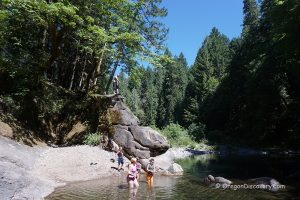
Stream: Lost Creek (tributary of the Middle Fork Willamette River)
Bridge Length: 75 ft (23 m)
Built: 1921; original span in late 1880s
Open: Year-round
Elevation: 700 ft (213 m)
Parvin Covered Bridge is located:
- 4 miles west of Lowell
- 20 miles southeast of Eugene
- 120 miles south of Portland.
Adventures Nearby


Directions to Parvin Covered Bridge
- Head east on OR‑58 toward Dexter/Lowell
- Turn right (south) on Lost Creek Road
- At Mile Point 1.8, turn right on Rattlesnake Road and continue 0.5 miles west
- Turn left (south) on Lost Valley Lane, then continue to Parvin Road and the bridge.