• Broken Dam is a scenic swimming area at the Jordan Bridge on Thomas Creek
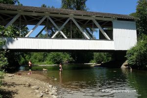
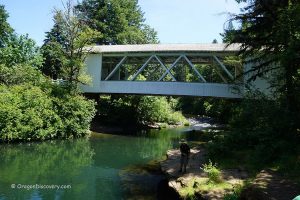
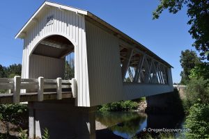
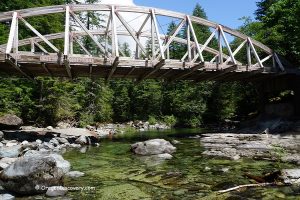
One of the most scenic swimming holes on Thomas Creek, Broken Dam is located at Jordan Bridge, just off Highway 226, 8 miles east of Scio. Previously, the creek was spanned by Jordan Covered Bridge, constructed in 1937. In 1988, the aging wooden bridge was replaced by a concrete one, and the old structure was moved to Pioneer Park in Stayton.
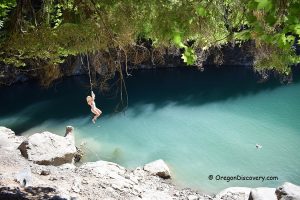
Though the site is undeveloped, it attracts water enthusiasts who enjoy sunbathing, swimming, and rock jumping during the hot summer months. The creek warms quickly to a comfortable 70–75°F in midsummer.

Swimming
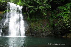
A broken old power dam partially holds back the water, creating an inviting calm swimming area near the dam’s wall with depths of two to three feet. The creek flows past the dam, cascading into multilevel rocky pools before narrowing into a channel just before the Jordan Bridge.
The deeper channel often attracts adventurous rock jumpers.
The beach above the dam is made up of river rocks, while below the dam, rocky ledge formations dominate the shoreline.
The site can get crowded on weekends.

Fishing
The creek is closed to salmon and steelhead angling. Trout fishing is open from the end of May through October, catch-and-release only.
Warmwater gamefish angling is also open during trout season with no catch limit.

Broken Dam - Thomas Creek | Facts
Open: Year-round
Managed by: Linn County
Amenities: None
Activities: Fishing and swimming
Distance from the parking: Short
Road access: Any passenger vehicle
Day-use fees: None
Elevation: 450 ft (137 m)
Broken Dam is located:
- 25 miles southeast of Salem
- 26 miles east of Albany
- 65 miles northeast of Eugene
- 70 miles northeast of Portland.
Body of Water: Creek
Water quality: Transparent
Current: Light to moderate
Depth: Deep and shallow
Beach: Bedrock, boulders, and river rocks
Water T° (summer): Cool to warm (75°F in July)
Adventures Nearby
Directions to Broken Dam
From I-5,
- Take exit 253 in Salem for OR-22 toward Detroit Lake and drive 11.5 miles to exit 13
- Take exit 13 toward Stayton and bear right onto Cascade Highway
- Continue 1.9 miles on Cascade Highway to Kingston Jordan Road
- Turn left onto Kingston Jordan Road and follow it for 2.9 miles
- Bear slightly right onto OR-226 and continue 0.5 miles to the destination on the left.
Park your car along the road just before the bridge and find the trail to the creek.

