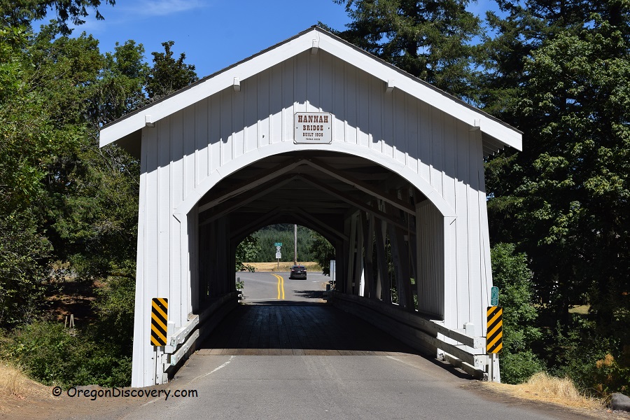
• Hannah Covered Bridge is one of six historic bridges along the Covered Bridge Tour Route
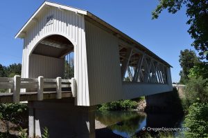
The 105-foot Hannah Covered Bridge was built in 1936. It was named after a pioneer John Joseph Hannah who came to Oregon in 1853 and settled between Thomas and Bilyeu Creeks.
Hannah Bridge, also known as Thomas Creek Bridge, spans the Thomas Creek that begins in the Willamette National Forest and flows 35 miles west to the South Santiam River. The creek was named after Frederick Thomas. He arrived in Oregon in 1848 and a few years later obtained a land claim near the creek.
The bridge carries Camp Morrison Road across and it is open to one-lane vehicle traffic. There are two more covered bridges over the Thomas Creek – Gilkey and Shimanek Bridges, constructed in 1939 and 1966 respectively.
The Hannah is one of the six covered bridges of the scenic Covered Bridges Tour Route in the Scio-Stayton-Jordan area. The bridge was added to the National Register of Historic Places in 1979.
Swimming
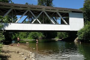
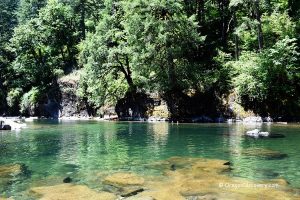
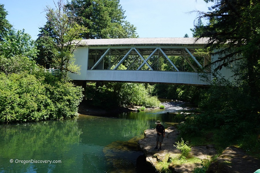
The Thomas Creek below Hannah Covered Bridge is a deep and enjoyable spot for those who like fishing and swimming.
In the summer months when the level of water is low, this section of the creek is calm, offering refreshing swimming and wading in the clear water. There are shallow and deep spots.
This area is an idyllic setting with huge bedrock on one side of the stream in the tree shadow providing a great view of the river and historic covered bridge. The opposite side has a pebble beach and it is adjacent to private land.

Rockhounding
The creek is popular among rock collectors for opportunities to find agate, jasper, petrified wood, and fossils. The best time for rockhounding here is during low water levels, when gravel deposits are exposed and the stream can be easily forded.
Fishing
The Thomas Creek has populations of smallmouth bass, crappie, yellow perch, cutthroat and rainbow trout. Also, there are small runs of Chinook salmon and steelhead.
The creek is closed to salmon and steelhead angling. Open to trout fishing from the end of May through October, catch-and-release only.
Warmwater gamefish is open during trout season. No catch limit.
Video
Hannah Covered Bridge | Facts
Architectural Bridge Design: Howe truss
Bridge access: Pedestrian and vehicle
Stream: Thomas Creek
Bridge Length: 105 ft (32 m)
Built: 1936
Open: Year-round
Elevation: 400 ft (122 m)
Hannah Bridge is located:
- 24 miles east of Albany
- 27 miles southeast of Salem
- 64 miles northeast of Eugene
- 71 miles northeast of Portland.
Adventures Nearby
Directions to Hannah Covered Bridge
From I-5,
- Take exit 233 in Albany toward Sweet Home and drive 5.5 miles east on Highway 20
- Continue 16.1 miles on OR-226 to Camp Morrison Road
- Turn right onto Camp Morrison Road, the bridge will be immediately ahead.
Cross the bridge and park your car in the parking area on the right. A sturdy wooden staircase leads down to the creek. The opposite side of the creek is private property: do not park your car near the fence before the bridge.

