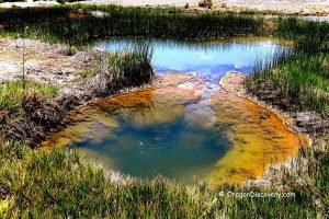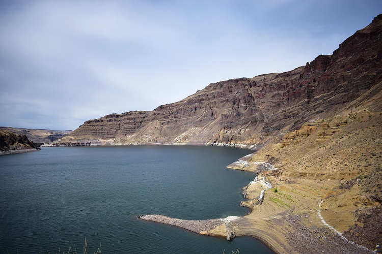
• Owyhee Canyonlands has plenty of areas to enjoy, from rugged trails to hot springs
• This is a remote area with minimal services so you will need extra preparation for a trip
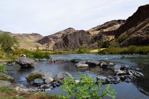
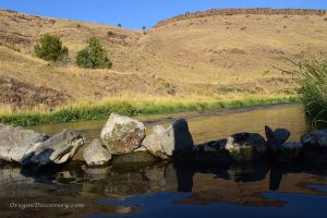
The Owyhee Canyonlands is 2.5 million acres of some of the most rugged and breathtaking wilderness in the American West. It sits in the remote southeastern corner of Oregon and is full of adventures and amazing discoveries.
The forces of nature have shaped this vast landscape over countless centuries. The Owyhee River and its tributaries have carved their way through volcanic tuff, rhyolite, and basalt. Wind and time also took their toll on million-year-old volcanic formations.
These geological processes have sculpted stunning Pillars of Rome, Leslie Gulch, honeycombed cliffs, and other geological wonders. Interestingly, the region's name traces back to the early 1800s in honor of three Hawaiian fur trappers who mysteriously vanished in these wilds.
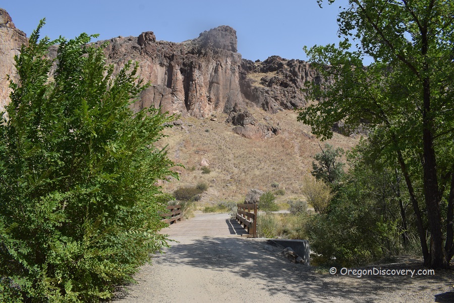
Despite stories of Native Americans, explorers, and settlers who have all left their mark here, you can still step where no human has ever stepped before.
The landscape is a prime rockhounding spot with jasper, plant fossils, petrified wood, jasper, agate, and other unique rocks.
Anglers may find solitude and success fishing in the waters of the Owyhee River and Owyhee Reservoir.
Trails like the Timber Gulch and the Painted Canyon Loop are amazing hikes in a breathtaking environment.
The rustic campsites of Succor Creek and Slocum Creek are perfect base camps for exploring the area and relaxing at night.
Whether you're looking to trace the contours of ancient lava flows, gaze at the stars unobstructed by city lights, or simply enjoy the quiet that comes with being miles away from the nearest town, the Owyhee Canyonlands will give you days and weeks' worth of discoveries to make.
Twin Springs Campground
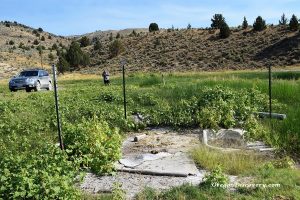
 Twin Springs Campground is the most remote campground managed by the Bureau of Land Management, offering a primitive yet tranquil retreat in the middle of wild landscape.
The campground provides basic amenities, including a vault toilet, shaded picnic tables nestled among poplar and aspen trees, and a hand-pump providing spring water suitable for washing purposes only.
Discover Twin Springs Campground
Haystack Butte - Rockhounding in the Owyhee Area
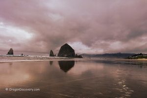
 Haystack Butte, also known as Haystack Rock, is a remote high desert destination within the Owyhee area, located approximately 24 miles southeast of Nyssa and 30 miles south of Vale.
This rugged landscape, covered with sagebrush, is a haven for rock enthusiasts with promises of extraordinary discoveries, including colorful jasper-agate, jasper, clear, white, or gray mossy agate, petrified wood, chalcedony, and occasionally common opal.

Succor Creek State Natural Area - Hidden High Desert Oasis
 Succor Creek State Natural Area is a remote destination at the state's eastern border, hidden deep within the Jordan Valley at the bottom of the Succor Creek Canyon. Towering multicolored cliffs of volcanic tuff surround this beautiful oasis amidst the vast expanse of the high desert.
Succor Creek Canyon is well-known among rockhounds, hikers, campers, and nature lovers.
Owyhee Canyonlands | Facts
Open: Year-round
Managed by: Oregon State Parks and Bureau of Land management(BLM)
Amenities: Vault toilets, picnic tables, campgrounds, boat launch
Activities: Hiking, nature viewing, photography, picnicking, boating, fishing, swimming, kayaking, camping
Distance from the parking: Varies
Road access: Any vehicle
Day-use fees: None|
Elevation: Varies
Owyhee Canyonlands is located:
- 79 miles southwest of Boise
- 176 miles southeast of Burns
- 306 miles southeast of Bend.
Adventures Nearby
Directions to Owyhee Canyonlands
From Jordan Valley to Slocum Creek Campground,
- Take US-95 North/Bassett Street for 18.2 miles
- Turn left onto Succor Creek Road and follow it for 3 miles
- Slight right to stay on Succor Creek Road and follow it for 5.5 miles
- Turn right to stay on Succor Creek Road and follow it for 1.5 miles
- Turn left onto Leslie Gulch Road and follow it for 14 miles.
Phone: (541)473-3144
Slocum Creek Campground Directions
From Homedale in Idaho to Succor Creek State Natural Area,
- Drive 5 miles west on Highway 19 in Idaho and 1.8 miles on Highway 201 in Oregon to Succor Creek Road
- Turn left (south) onto Succor Creek Road and continue 15.5 miles to the day-use and campground.


