
Paradise Campground on the McKenzie River – Camping in the Oregon Cascades
2026-06-16
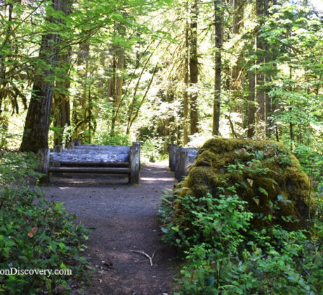
• Paradise Campground provides direct access to the McKenzie River TrailContinue Reading
• Paradise Campground provides direct access to the McKenzie River TrailContinue Reading
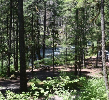
• Olallie Campground offers riverside camping with access to the McKenzie River TrailContinue Reading
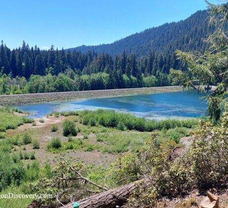
• Ice Cap Campground is shady forest campground surrounded by waterfalls and mountain sceneryContinue Reading

• Daphne Grove Campground offers peaceful camping along the South Fork Coquille RiverContinue Reading

• Myrtle Grove Campground is nestled in myrtlewood forest along the South Fork Coquille RiverContinue Reading

• Ziolkouski Beach Park is the most sheltered beach at the mouth of the UmpquaContinue Reading

• Cottonwood Canyon State Park is Oregon’s newest and second-largest state parkContinue Reading

• Harris Beach State Park is home of the biggest island off the Oregon CoastContinue Reading

• Owyhee Canyonlands has plenty of areas to enjoy, from rugged trails to hot springsContinue Reading
Twin Springs Campground, the most remote campground managed by the Bureau of Land Management (BLM),Continue Reading

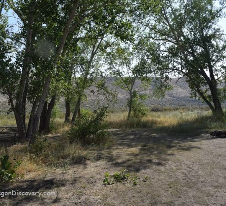
• Hart-Tish Park is a great spot for camping, picnicking, lake access, and nearby hikingContinue Reading

• Cantrall Buckley County Park has nearly two miles of river frontage • The parkContinue Reading