![]()
![]()
![]()
![]()
![]()

Things to Do at Cascadia Day-Use Area
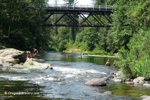
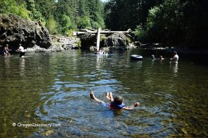
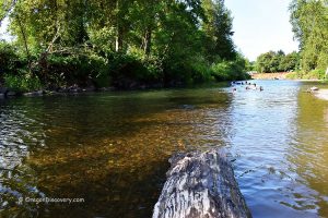
Swimming at Cascadia Day-Use Area
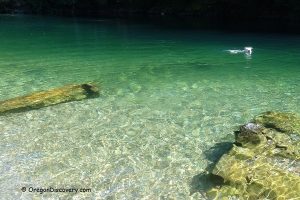
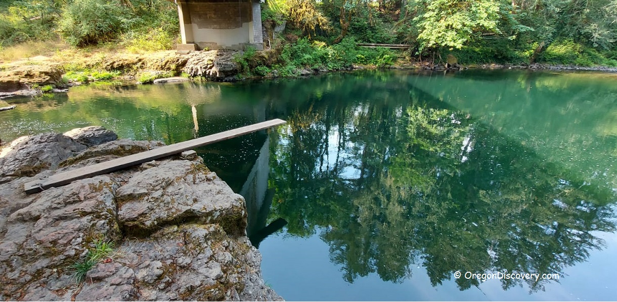
If you're looking to swim, wade, or even dive, the stretch of the South Santiam River below the covered bridge is an excellent spot. The water is typically calm and relatively warm during the summer months.
Fishing at Cascadia Day-Use Area
Trout fishing is allowed from May 22 to October 31, and it is catch-and-release only.
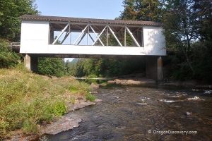
Short Covered Bridge
 Short Bridge is the only remaining historic covered bridge over the South Santiam River.
Unlike most surviving covered bridges that now have metal roofs, Short Bridge retains a traditional wooden shingle roof.
Short Covered Bridge - The Only Covered Bridge over the South Santiam River
Cascadia State Park
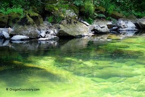
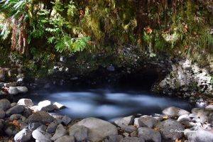
 Cascadia County Park is a beautiful forested area nestled at the confluence of the South Santiam River and Soda Creek on the western foothill of the Cascade Mountains. This pristine park is a unique result of landscape architecture, water-based features, and natural wilderness.
This scenic area is popular among swimmers, hikers, campers, and anglers.
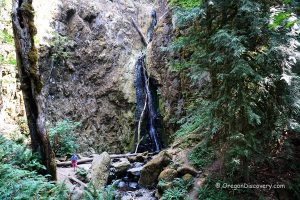
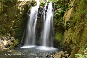
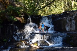
Soda Creek Falls
 Soda Creek Falls is a spectacular waterfall located within Cascadia State Park.
This powerful 150-foot cascade drops dramatically from a dark basalt cliff, surrounded by towering Douglas-fir, western red cedar, and hemlock trees that typify the Pacific Northwest's ancient forests.