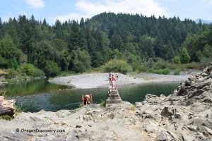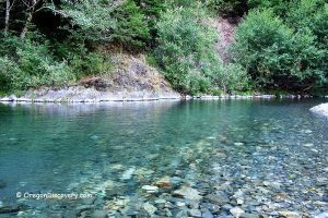
• Island Campground and day-use area feature a scenic swimming hole
![]()
![]()
![]()
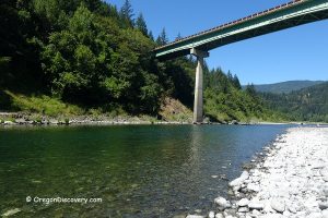
Island Campground is one of many gorgeous destinations on the bank of the South Fork of the Coquille River. It sits within the boundaries of the Rogue River-Siskiyou National Forest, 16 miles from the city of Powers.
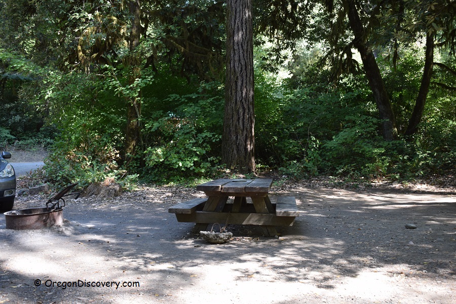
Set in a beautiful forested area, the campground features gravel roads and a small parking area.
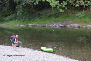
While camping at Island Campground, you can swim in the emerald-green waters, relax on sun-warmed boulders, or explore the riverbank. Enjoy a picnic under the shade of the coastal forest, watch for wildlife, or take a short drive to hike the scenic Coquille River Falls Trail. The peaceful setting is perfect for unplugging, stargazing, and enjoying the sounds of the river and forest.

Swimming
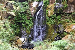
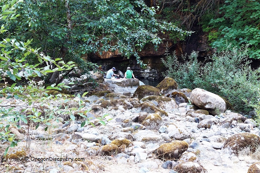
This hidden forest oasis offers one of the most scenic swimming holes along the river. Shaded by coastal trees and backed by a towering rocky wall on the western bank, the spot is both peaceful and dramatic. Rock Creek enters the South Fork Coquille River here, cascading as a waterfall from the cliff.
Bordered by massive boulders, the swimming hole is deep and refreshingly cool, with water temperatures around 64°F in August. The emerald pool is crystal clear, with a sandy bottom, ledges, and striking rock formations. The riverbank is mostly made up of boulders, with patches of sand.
Hiking
Island Campground is an excellent base for hikers.
The Coquille River Falls Trail, just 2.5 miles away, leads through lush forest to a stunning twin-tiered waterfall.
The Elk Creek Falls and Big Tree Trail, about 10 miles south, offers a short hike to a secluded waterfall and one of the largest Port Orford cedars in the region.
For a longer adventure, the Azalea Lake Trail climbs through rugged terrain into the Kalmiopsis Wilderness, ending at a peaceful alpine lake surrounded by wild azaleas in early summer.
Other nearby forest roads and backcountry paths offer additional hiking options, providing opportunities to spot wildlife and appreciate the serene beauty of the Rogue River-Siskiyou National Forest.
Fishing
To protect vital spawning habitat for salmon and steelhead, fishing is closed along a 12-mile stretch of the South Fork Coquille River from the forest boundary near Powers to Coquille River Falls.
Island Campsites
A primitive, first-come, first-served campground with five sites is nestled along the river in the shaded Myrtlewood Grove. Each site includes a picnic table and fire pit.
Facilities include a vault toilet and seasonal garbage disposal (Memorial Day through October), but no drinking water is available. A camping fee is required.
Island Campground | Facts
Open: Year-round
Managed by: U.S. Forest Service
Amenities: A vault toilet, seasonal garbage bins, and picnic sites
Activities: Camping, swimming, picnicking, and hiking
Distance from the parking: Short
Road access: Any vehicle
Day-use fees: None
Island Campground is located:
- 60 miles southeast of Bandon
- 90 miles southeast of Roseburg
- 160 miles southwest of Eugene.
Adventures Nearby
Directions to Island Campground
From Highway 101 in Coos Bay,
- Take OR 42/OR 542/Powers Highways/Forest Road 33 and travel 57 miles south to the destination on the right.

