![]()
![]()
![]()
![]()
![]()

South Fork Coquille River Campgrounds & Day-Use Areas
Coquille Myrtle Grove State Natural Site
 Coquille Myrtle Grove State Natural Site is a 7-acre park area along the Coquille River, nestled in a shaded myrtle grove.
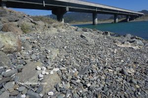
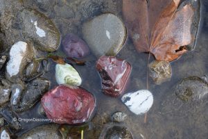
This small park offers refreshing summer water activities such as swimming, wading, kayaking, and tubing. The beach, primarily gravel with some sand, is also a good spot for rock collectors to find quartz, agate, and jasper.
Explore Coquille Myrtle Grove State Natural Site
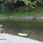
Orchard Park
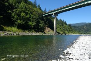
 Located just off Powers Road, two miles south of Powers, Orchard Park is a beautiful day-use site on the bank of the river.
The river bends through gravel beds and a cliff on the north bank, creating a deep spot perfect for diving.
Elk Creek Falls & Big Tree Park Hiking
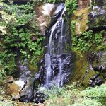 Elk Creek Falls is an easily accessible waterfall along Elk Creek on the South Fork Coquille River, leading to a grotto-like observation site.
The hike to Big Tree Park, which features the world's largest Port Orford cedar tree standing 220 feet tall and over 12 feet thick, is a 2.2-mile out-and-back trail rated as moderate.
Elk Creek Falls & Big Tree Trails - A Scenic Hike in the Ancient Forest
Myrtlewood Grove Campground
 This beautiful primitive campground operates on a first-come, first-served basis, offering five sites along the river in a shaded myrtle grove.
Each site includes a picnic table and a fire pit. The area features a mix of pebbles, boulders, and rock formations, with depths and shallows, rapids, and calm water. Between two river bends lies a small, beautiful swimming hole. The campground has a vault toilet but no drinking water, and both day-use and camping are free.
Myrtle Grove Campground – A Shaded Riverside Escape in the Myrtlewood Forest
Daphne Grove Campground
 Daphne Grove Campground offers 14 RV campsites on a first-come, first-served basis, each equipped with picnic tables and fire pits. The shallow river here is ideal for wading rather than swimming. The site includes four vault toilets but no drinking water. A camping fee is required, but day-use is free.
Daphne Grove Campground – Shady River Camping among Old-Growth Myrtlewood
Island Campground
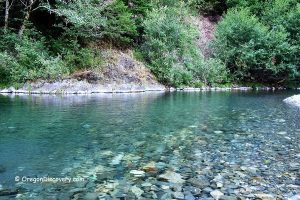
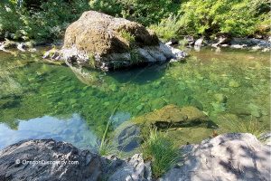
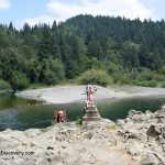
 Island Campground features one of the best secluded swimming holes along the South Fork of the Coquille River, shaded by the coastal forest and a monolithic rocky wall on the western bank.
This primitive campground operates on a first-come, first-served basis, offering five sites with picnic tables and fire pits.
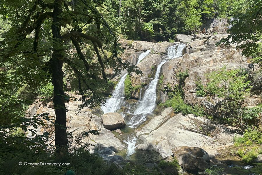
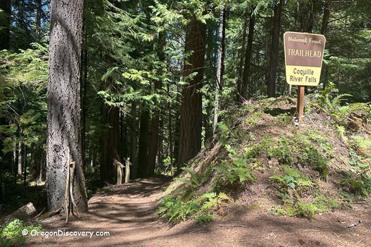
Coquille River Falls
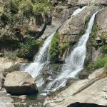 The trail to the scenic Coquille River Falls begins at Forest Road 3348, just 200 yards from Tsu Creek Falls. This 0.5-mile trail is steep, shaded, and often wet as it descends to the river.
Coquille River Falls is the most powerful waterfall on the South Oregon Coast, featuring two tiers: the upper tier at 50 feet high and the lower tier at 65 feet high.
Coquille River Falls - Remote Waterfall Hike in the Rogue River-Siskiyou Forest