
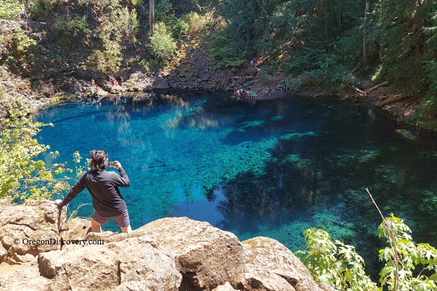
Tamolitch Blue Pool is where the McKenzie River resurfaces beneath ancient lava in brilliant turquoise water


Tamolitch Blue Pool is one of those Oregon places that looks fake in photos and somehow looks even wilder in person.
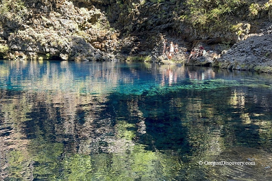
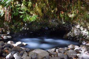
The water glows turquoise; you can count pebbles 20 feet down. The pool is part of the McKenzie River, but no river flows into it. Instead, the river emerges from the pool and continues downstream.
So where does the water come from?
The Geology & History Behind the Tamolich Blue Pool
About 1,500 years ago, Belknap Crater erupted, sending lava across a roughly 3-mile stretch of the McKenzie River. The lava covered the old river channel, and the river began to sink into the young, porous rock and flow underground.
It eventually emerges at the base of a dry 60-foot cliff and fills a stone basin. That basin is the Blue Pool.
The lava works like a giant sponge and filter at once. Water moves through the volcanic rock and emerges at the pool extremely cold and clear. The lack of sediment and suspended particles allows light to penetrate deep into the water, creating its intense blue color.
Humans changed the picture too. Carmen Reservoir, completed in 1963, diverts much of the river through a roughly 2-mile tunnel to Smith Reservoir as part of Eugene Water & Electric Board's hydroelectric project. As a result, the river channel above the pool stays dry much of the year.
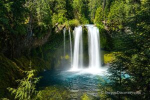
Want to see the actual waterfall? Good luck. Tamolitch Falls is usually dry, but the waterfall can return during periods of unusually high water, especially after prolonged heavy rain. I have never caught it.
The name came in 1933 from William Parke, a Willamette National Forest recreation engineer. "Tamolitch" is Chinook jargon for "bucket." Stand on the rim once, and you will agree.
Tamolitch Blue Pool Hiking
The Blue Pool hike follows Trail #3507, a section of the 26-mile McKenzie River National Recreation Trail.
Most people start at the south end near Trail Bridge Reservoir: 2.1 miles one way, 4.2 miles round trip, and about 300 feet of elevation gain.
Plan on 1.5 to 2 hours.
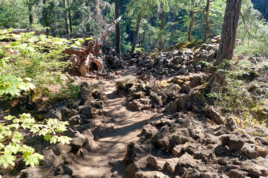
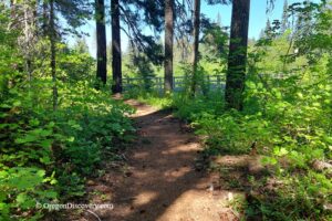
The first mile is typical of the Cascades rainforest. Douglas firs, cedars, and hemlocks tower overhead, moss coats every boulder, and trillium may appear in spring.
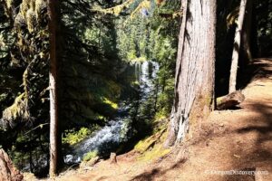
Near the halfway point, the forest ends, and the Belknap lava flow begins. Sharp black rock replaces soft dirt, and the path narrows above the canyon.
Sturdy closed-toe shoes matter here. In icy or snowy conditions, the lava can become extremely slippery, so bring traction.
The trail ends right at the cliffs. A rough route continues around the rim toward the far side, where some people scramble down to the shore over loose, steep rock. The climb back up is particularly difficult.
Coming from Carmen-Smith Reservoir to the north makes it 3.3 miles one way with far fewer people. Mountain bikes are allowed on the main trail, but the spur to the pool is closed to bikes.
A Serious Warning Before You Visit
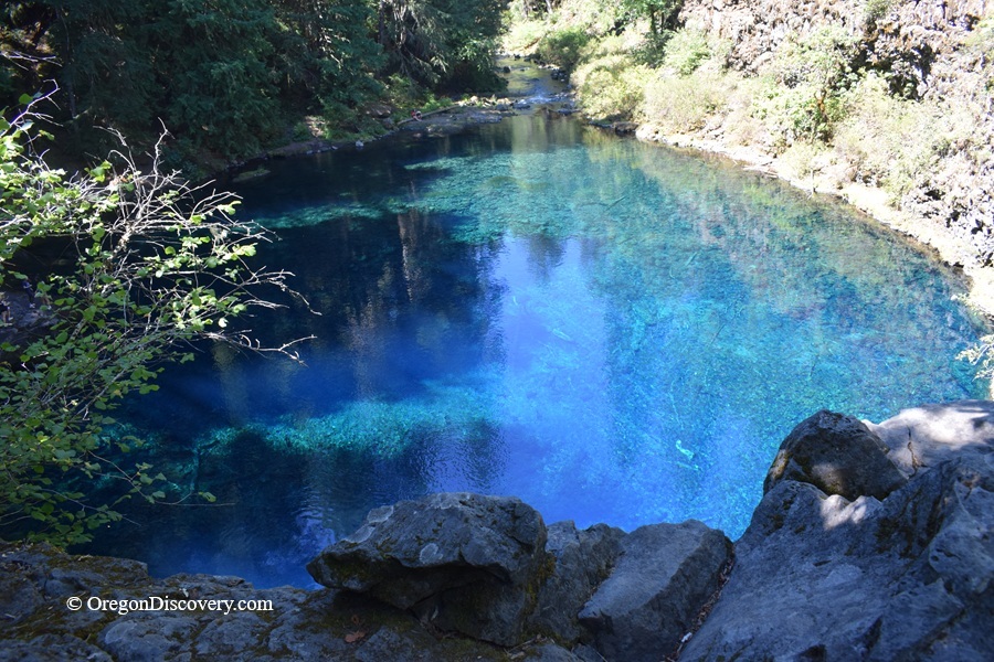
🔴 Do not jump into the pool. The cliffs are 10 to 60 feet (3 to 18 meters) above the water. The water is extremely cold - about 37°F (3°C).
Falling into water this cold can cause a sudden gasp and make it hard to breathe. The clear water also makes it difficult to see how deep the pool is or what is below the surface.
⚠️ Be especially careful when taking photos near the cliff edges. The rocks can be uneven and slippery. Do not get too close to the edge for a better photo. Stay on solid ground and keep a safe distance from the drop-off.
With almost no cell signal, emergency help can take hours to arrive. Several visitors have died or suffered serious injuries here. Swimming and entering the pool are dangerous, so stay well back from the edge and do not enter the water.
Camping & Lodging near Tamolitch Blue Pool
Several Forest Service campgrounds sit close to the pool along Highway 126, including Trail Bridge Campground right at the south trailhead and Ice Cap Campground about 6 miles north near Carmen Reservoir.
Clear Lake Resort, about 9 miles north, offers a variety of accommodations, from camping to rustic and deluxe cabins and yurts.
Belknap Hot Springs Resort, 14 miles southwest, offers a stay and hot spring soaking in a beautiful setting of the Willamette National Forest.
Other accommodations are available in Sisters or Bend.
Tamolich Blue Pool | Facts
Open: Year-round; day use 6 a.m. to 10 p.m. Forest roads are not plowed
Managed by: U.S. Forest Service, Willamette National Forest, McKenzie River Ranger District
Amenities: Parking only, rough restrooms near the south trailhead. No trash service, so pack it out
Activities: Hiking, photography, mountain biking, wading
Day-use fees: None. No pass or permit required
Elevation: 2,450 ft (747 m) at the pool
Tamolich Blue Pool is located:
- 70 miles east of Eugene
- 65 miles northwest of Bend
- 165 miles southeast of Portland.
Adventures Nearby


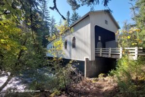
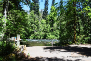
Directions to Tamolitch Blue Pool Trailhead
From I-5,
- Take exit 194A in Eugene for Highway 126 East toward Springfield
- Drive east about 70 miles, passing McKenzie Bridge
- Turn left at the Trail Bridge Reservoir sign onto Forest Service Road 730
- Cross the river, then turn right onto FSR 2672-655
- Continue half a mile to the parking area, then walk uphill to the trailhead sign.
Cell service drops out here, so save your directions or download an offline map before you leave.