
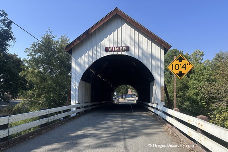
Wimer Covered Bridge's historic appearance hides a modern structure built for today’s traffic
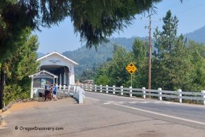
Wimer Covered Bridge crosses Evans Creek on Covered Bridge Road in the community of Wimer, about 7 miles northeast of the city of Rogue River in Jackson County.
The 85-foot (26 m) span sits where Covered Bridge Road meets East Evans Creek Road. Evans Creek flows for about 35 miles before joining the Rogue River near the city of Rogue River.
Only four covered bridges remain in Jackson County: Wimer, McKee, Antelope Creek, and Lost Creek. Wimer is the only one still open to vehicle traffic. The bridge is one lane, 17 feet (5.2 m) wide, with a 10-ton weight limit.
If you're working your way through Southern Oregon's covered bridges, this one is worth the short detour from I-5.
Wimer Covered Bridge History
The bridge you drive through today was built in 2008. The story behind it is much longer.
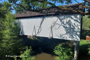
J. W. Osbourne built the first covered span here in 1892. The Hartman brothers replaced it in 1927 with an 85-foot queenpost truss supported by flying buttresses. From downstream, the simple structure looked almost like a barn over the water.
That 1927 bridge was listed on the National Register of Historic Places on November 29, 1979.
Over the following decades, the bridge deteriorated. Residents rebuilt the weakened structure in 1962.
The county closed it to vehicle traffic by the mid-1970s. Repairs in 1985 reopened the bridge, but its load limit was later reduced. Engineers found serious deterioration in the structure, including severe timber decay. The bridge was also showing signs of movement under traffic.
On July 6, 2003, the old bridge collapsed into Evans Creek shortly after a pickup truck crossed it. A resident and his two young grandsons were on the bridge when it fell. Customers at the nearby Wimer Market heard the crash and rushed to help. They climbed down the bank and pulled the three injured people from the wreckage.
The collapse was ultimately traced to extensive decay in a critical timber member of the upstream truss. The bridge was removed from the National Register in 2006.
Jackson County could have replaced the crossing with a modern concrete bridge. Wimer said no.
On April 6, 2004, more than 120 people gathered at the Rogue River High School gym to begin planning the bridge's reconstruction. The community wanted another covered wooden bridge rather than a modern replacement.
A nonprofit formed, and residents began raising money for the project. Federal funds, county support, and community fundraising eventually made the reconstruction possible.
The new bridge opened to traffic in February 2008 and was dedicated on July 6, 2008 - five years to the day after the old bridge collapsed.
Why is this bridge so special?
Local money built it: A community of only a few hundred people worked to preserve the covered-bridge tradition rather than replace it with a conventional modern bridge.
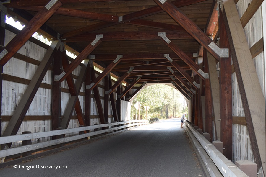
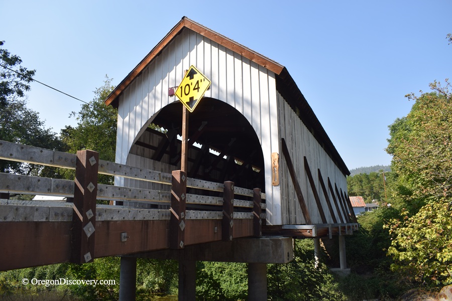
The look is old, the bones are not: The new bridge uses trusses reinforced with metal braces, laminated beams designed to look like timber, concrete approaches, and industrial roofing made to resemble wooden shakes. It looks much like the historic bridge that stood here before it, but its modern construction is designed to handle today's traffic.
Wimer Covered Bridge | Facts
Architectural Design: Housed replica with metal-braced trusses (the 1927 bridge used a queenpost truss with flying buttresses)
Bridge access: One lane, vehicles up to 10 tons, pedestrians welcome
Stream: Evans Creek
Bridge Length: 85 ft (26 m)
Built: 1893, replaced 1927, rebuilt 2008
Elevation: 1,250 ft (381 m)
Wimer Covered Bridge is located:
- 2 miles northwest of Hillis Peak
- 7 miles northeast of Rogue River
- 17 miles northeast of Grants Pass.
Adventures Nearby






Directions to Wimer Covered Bridge
From Rogue River,
- Follow East Evans Creek Road northeast for about 7 miles
- Turn right onto Covered Bridge Road in Wimer.