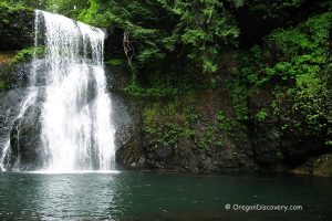
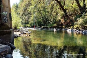
• A beautiful river oasis, Ivor Davies Wayside provides opportunities for summer water activities
![]()
![]()
![]()
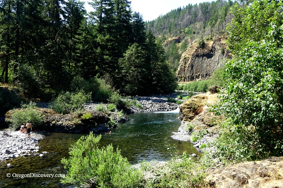
Located along the upper Molalla River, Ivor Davies Wayside is a scenic destination also known as Party Rock. The site is located north of Pine Creek Bridge along the Molalla River Recreation Corridor, 11 miles south of the city of Molalla.
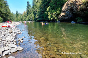
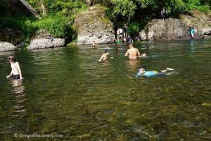
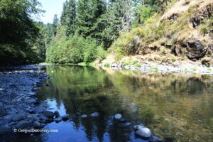
The area features a large rock formation called Blackbear Rock. It sits in the middle of the river and divides the water into two channels. The left channel flows between two basalt rock walls and forms a deep swimming hole with popular jumping spots on both sides.
Another deep swimming hole with exciting rapids is located upstream of Blackbear Rock. A section of fast-moving water separates the two swimming areas.

Shade is limited, so be prepared on hot summer days. The riverbank consists of lava formations and large boulders. The water remains cool, reaching about 65°F in July.
A vault toilet is available at the site.
⚠️ Cliff jumping and slippery rocks can be dangerous. Use caution and make safe decisions.

Molalla River Recreation Corridor
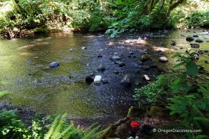
The Molalla River Recreation Corridor runs along the scenic upper Molalla River, offering many opportunities to stop and enjoy its clear green waters as the river winds through dramatic basalt and andesite rock formations.
Beyond its natural beauty, the corridor is a popular destination for swimming, hiking, biking, camping, picnicking, whitewater rafting, and fishing.
Molalla River Recreation Corridor in Oregon: Hiking, Swimming & Camping
Molalla River Recreation Corridor Camping
Camping is not permitted at this site. Nearby Three Bears and Cedar Grove Campgrounds offer campsites, picnic areas, restrooms, and drinking water.
Both campgrounds feature tent sites with metal fire rings, barbecue grills, and picnic tables. Reservations can be made in advance through Recreation.gov. First-come, first-served campsites are also available, but payment is still required through the mobile app.
Keep in mind that there is no cell service throughout the Molalla River Recreation Area, so plan accordingly.
The campgrounds are open from May through October.
Ivor Davies Wayside | Facts
Open: Year-round
Managed by: Bureau of Land Management (BLM)
Amenities: Vault toilet
Activities: Swimming, fishing, hiking
Distance from the parking: Short
Road access: Any passenger vehicle
Day-use fees: None
Elevation: 780 ft (237 m)
Ivor Davies Wayside is located:
- 13 miles southeast of Molalla
- 39 miles east of Salem
- 44 miles southeast of Portland.
Adventures Nearby
Directions to Ivor Davies Wayside
From I-5,
- Take exit-271 and then turn left onto OR-214 toward Woodburn
- Head 16 miles east along OR-214 then OR-211 to Mathias Road in Molalla
- Bear right onto Mathias Road and follow 0.2 miles to S Feyrer Park Road
- Turn left onto S Feyrer Park Road and continue for 1.7 miles to S Dickey Prairie Road
- Turn right onto S Dickey Prairie Road and drive 5.3 miles to Glen Avon Bridge
- Cross the bridge and bear left, continue on S Molalla Forest Road for about 5.1 miles to the destination.