
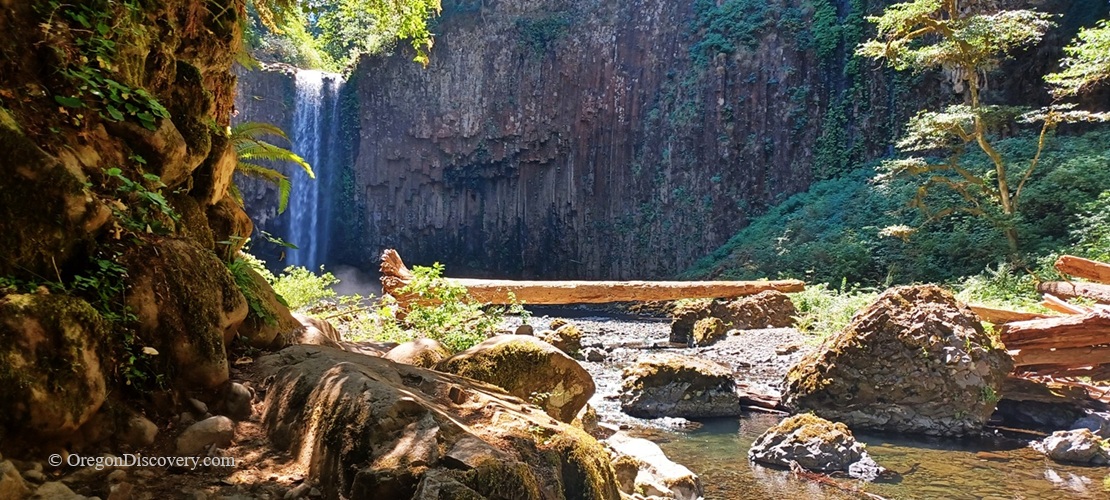
Abiqua Falls is a hidden waterfall featuring a dramatic basalt amphitheater and crystal-clear pool


Hidden deep in the canyon of the Santiam State Forest, Abiqua Falls is one of the most spectacular and unique waterfalls in the Willamette Valley.
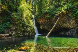
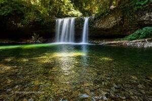
This impressive 92-foot waterfall dramatically plunges over a curved wall of towering columnar basalt into a beautiful turquoise pool below.
The waterfall is surrounded by a natural amphitheater of basalt cliffs rising above Abiqua Creek. The dark volcanic rock is covered with bright green moss and colorful lichens, adding to the canyon's dramatic beauty.
The combination of the rushing waterfall, the clear pool reflecting the surrounding forest, and the ancient basalt columns makes Abiqua Falls one of the most beautiful and photographed waterfalls in Oregon.
Abiqua Falls basalt is related to the Columbia River Basalt Group (CRBG), and it is geologically similar to the basalt at Silver Falls State Park.
Although Abiqua Falls is located only about an hour from Salem and less than two hours from Portland, it feels surprisingly remote. Reaching the waterfall requires some planning and a little extra effort, but the scenery is well worth the trip.
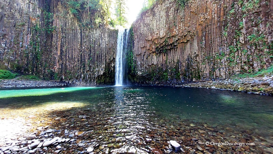
Best Time to Visit Abiqua Falls
The best time to see Abiqua Falls at its most powerful is during late spring and early summer, when Abiqua Creek usually has a stronger flow and trail conditions are often better than during the wetter winter months.
The steep trail can become extremely muddy and slippery after heavy rain, so extra caution is needed when visiting during the wet season.
However, Abiqua Falls remains a beautiful destination throughout the summer.
By late summer, the waterfall may have a lower flow, but the surrounding canyon, turquoise pool, and towering basalt cliffs are still impressive.
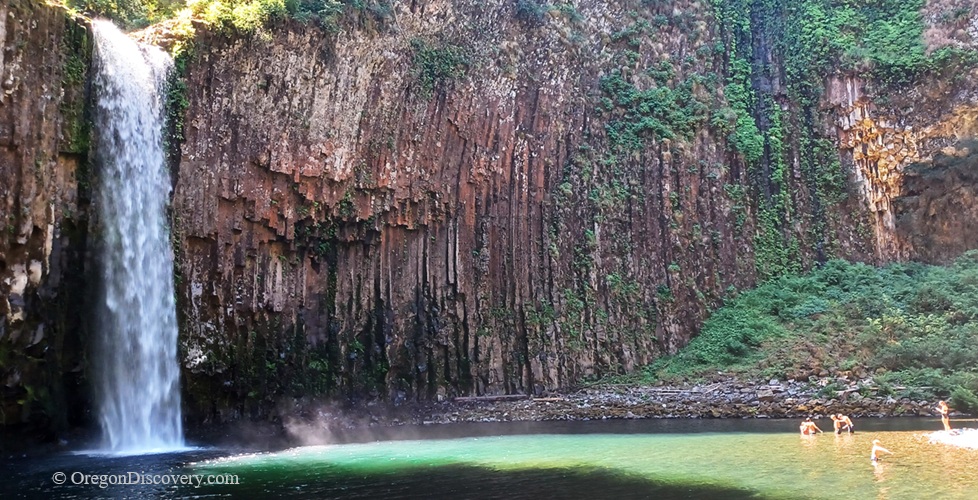
Some visitors enjoy swimming in the pool during hot weather, although the water remains cold even during the hottest days of summer.
Driving to Abiqua Falls Trailhead
Getting to Abiqua Falls requires more planning than the short hike might suggest.
The final gravel road to the trailhead is rough, narrow, and uneven, with deep tire tracks and potholes that can become worse after heavy rain. A low-clearance passenger vehicle is not recommended, as the road conditions can make the drive difficult and may cause damage to your vehicle.
If you do not have a high-clearance vehicle with good traction, the safest option is to park before the roughest section and continue on foot. Some hikers choose to stop approximately 1.7 miles before the official trailhead and walk the remaining distance.
The trail is easier to identify because it has a signboard from the Abbey Foundation of Oregon.
A capable high-clearance vehicle may be able to reach closer to the trailhead, but road conditions change throughout the year and can vary significantly depending on weather.
Cell service is unavailable in the Abiqua Falls area, so download offline maps before leaving and plan your route.
Hiking to Abiqua Falls
If you have a chance to reach the final parking area at the trailhead, the hike to the waterfall is short - approximately 0.5 miles one way - but truly adventurous. The distance does not fully reflect the challenge of the route.
Not far from the beginning of the trail, the path splits into two routes. The right trail is longer and extremely strenuous, so take the left path for the easier route to the waterfall.
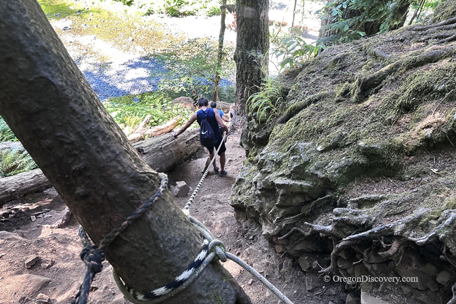
The trail descends steeply through a beautiful evergreen forest, with several rope-assisted sections to help hikers navigate the steeper areas. After rain, the trail can become muddy, slippery, and more difficult to navigate.
The return climb can be especially difficult, so allow extra time and use caution.
As you reach the canyon floor, turn left and follow the trail along Abiqua Creek over rocky terrain, carefully navigating around roots, fallen logs, and uneven stones.
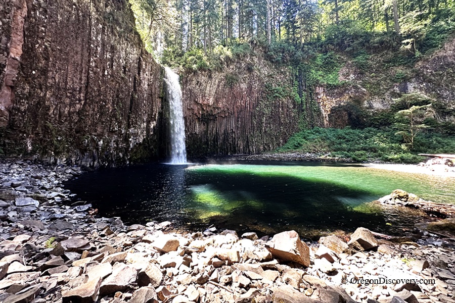
As the forest opens up, the dramatic waterfall comes into view, surrounded by towering basalt cliffs and the natural beauty of the canyon.
The final viewpoint is truly rewarding. Standing beneath the massive basalt amphitheater and watching the water cascade into the emerald pool is an unforgettable Oregon waterfall experience.
🟡 Because of the steep descent and rugged creekside sections, sturdy hiking shoes with good traction are strongly recommended. Extra caution is needed during wet weather, when rocks and roots can become very slippery.
🔵 Abiqua Falls is located on private land managed by the Abbey Foundation of Oregon, which allows public access to this beautiful natural area. Please help protect this special place by staying on established trails, respecting the property, and packing out all trash. Following Leave No Trace principles will help preserve Abiqua Falls so future generations can enjoy its powerful waterfall, ancient basalt cliffs, and peaceful Oregon forest.
Abiqua Falls Camping and Lodging
No camping is allowed directly at the falls, along the trail, and the road.
The closest campground is Camp Dakota near Scotts Mills, located only a short drive from the waterfall. For a larger campground with more facilities, Silver Falls State Park offers a convenient option about 20–25 miles away.
Lodging options is available in Silverton and Salem.
Abiqua Falls | Facts
Open: Year-round (conditions vary by season)
Managed by: Abbey Foundation of Oregon
Amenities: None
Activities: Hiking, nature viewing, and photography
Day-use fees: None
Elevation: 1,500 ft (457 m) at the base of the falls
Abiqua Falls Distance From Major Cities:
- 19 miles southeast of Silverton
- 35 miles east of Salem
- 50 miles south of Portland.
Adventures Nearby





Directions to Abiqua Falls
From Scotts Mills,
- Take Crooked Finger Road and travel 10.8 miles southeast; after approximately 9.4 miles, the road becomes gravel
- Turn right onto CF 300 Road and continue for 0.3 miles to a parking area suitable for passenger vehicles on the right
- From this point, walk down the gravel road approximately 1.7 miles to the trailhead, located on the left just before the final parking area.
If you have a high-clearance 4WD vehicle, you may be able to continue farther along this road and park closer to the trailhead. However, road conditions can change throughout the year, especially after heavy rain.