
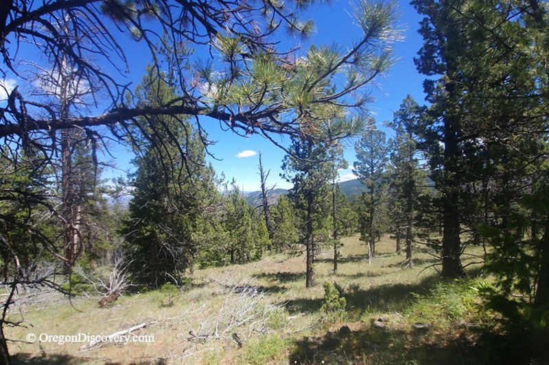
Rooster Rock is a remote Central Oregon site known for agate, quartz, and jasper


Rooster Rock is a free rockhounding area, about 40 miles east of Prineville, in the Ochoco National Forest in Crook County.
This is not the Rooster Rock in the Columbia River Gorge. They have the same name but are more than 200 miles apart.
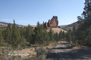
Rooster Rock is typical of the Central Oregon high country, with ponderosa pine forests, rocky slopes, and narrow gravel roads. The road to the area is rough, so come prepared.
A high-clearance 4WD vehicle is recommended. Snow can block the roads into May, and cell service can be unreliable.
Rooster Rock Geological History
The rock here is the Rhyolite of Hash Rock, a volcanic formation about 39 million years old.
This Eocene rhyolite is part of the volcanic system associated with the ancient Wildcat Mountain caldera. The northern part of the Rhyolite of Hash Rock extends from the caldera toward Rooster Rock.
Freshly broken rock may show flow banding - thin, wavy layers formed as the lava cooled. These layers are still visible millions of years later.
As the rhyolite cooled, it developed cavities and fractures. Later, silica-rich fluids moved through the rock and deposited minerals in these openings. This process formed agate, quartz, and thundereggs.
Rooster Rock Rockhounding
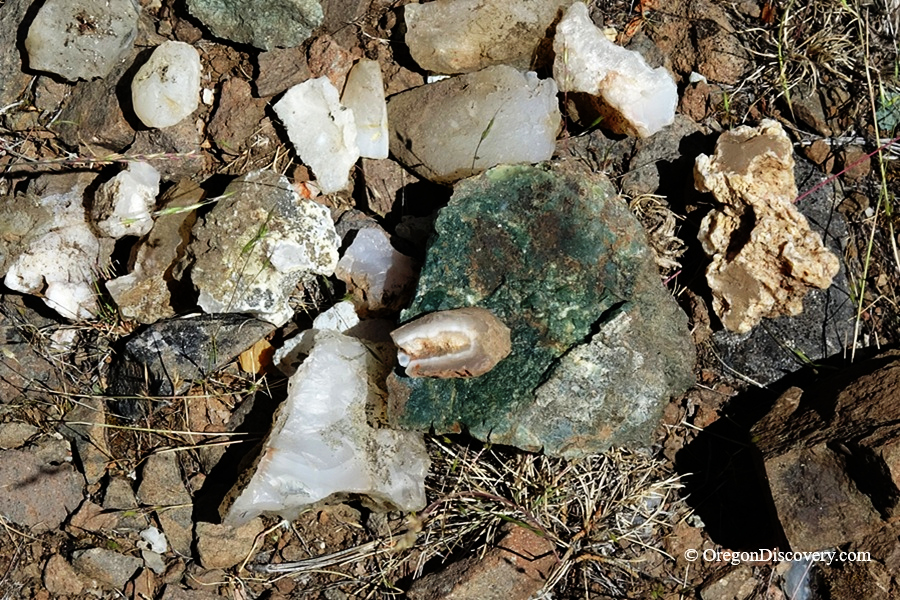
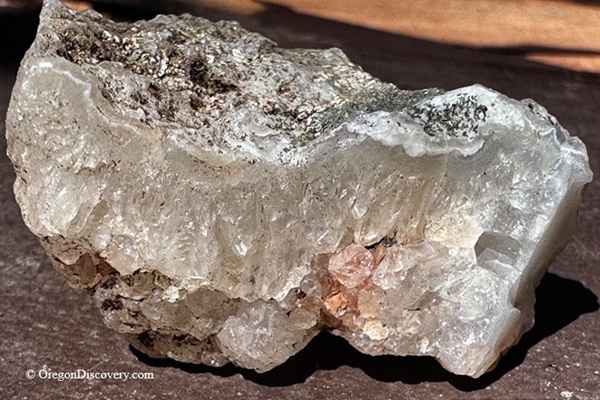
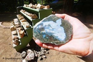
Agate is the main find here. Common types include clear, gray-banded, blue, and moss agate. Some pieces have cavities lined with quartz crystals.
Red jasper can also be found, although it is less common.
Thundereggs are another possibility.
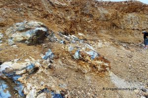
You can find loose pieces on the ground and along road cuts. Agate can also occur in seams within the rhyolite.
Start by looking at the surface. Tumbler-size pieces can be found on the slopes and near the road. I found my first pieces within five minutes of parking.
Take some time to examine what you find. Not every piece of rock is worth carrying home. After you find a few good specimens, it becomes easier to recognize better material.
If you are looking for a larger specimen, look for outcrops where agate seams are visible in the rock. Some seams contain blue-banded agate.
Removing material from an outcrop takes care. A hammer and gad can be useful. Work slowly along the seam rather than hitting the rock hard.
🟡 A few things to know before you go: You may see agate in the gravel road, but do not dig into the roadbed. The road needs to remain passable for other visitors. Also watch for mining-claim markers and stay off active claims unless you have permission to collect. Wear sturdy boots with good ankle support. The slopes can be steep and loose.
Camping and Lodging near Rooster Rock
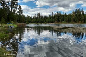
Whistler Campground is a free, first-come, first-served campground about 5 miles up the road. Check the area above your campsite before setting up. Standing dead trees can fall and may be a safety hazard.
Dispersed camping is also available in the surrounding national forest. We have found good places to camp along NF 2730.
If you prefer a hotel, Prineville has several options, including hotels and vacation rentals.
Affordable vacation rentals for short and long term stay at Prineville
Rooster Rock Rockhounding | Facts
Open: June through October (snow can block roads until May)
Managed by: U.S. Forest Service - Ochoco National Forest
Rocks & Minerals: Moss agate, clear, blue, gray agate, quartz crystal nodules, red jasper, thundereggs
Tools: Geology pick, rock hammer, gad, chisel, shovel
Distance from the parking: Varies
Road access: 4WD vehicle is recommended
Fees: None
Elevation: 5,100-5,300 ft (1,555-1,615 m)
Adventures Nearby





Directions to the Rooster Rock
From Prineville,
- Take Highway 26 to milepost 49.5, then turn left (northwest) onto Forest Road 27
- Drive 1.3 miles to Forest Road 2730 (the Lucky Strike Mine sign)
- Bear right onto gravel FR 2730 and continue for 6.3 miles to a fork
- Bear left on FR 2730 toward Lucky Strike and after 3.3 miles, at a second fork, bear right on FR 2730 (Lucky Strike Mine is on the left)
- Continue for about one mile and find the safest place to park along the road.
Phone (Ochoco National Forest): 541-416-6500
GPS (Parking): N 44° 31.944′ W 120° 29.437′ | 44.5324, -120.4906