
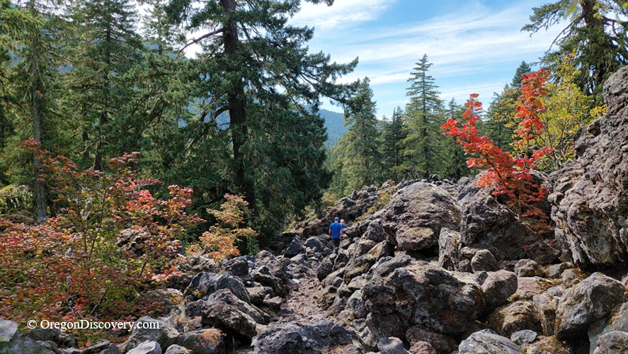
Proxy Falls Trail is a short scenic loop to two waterfalls through forest and volcanic lava


The Proxy Falls Trail #3532 is a scenic loop through an unusual landscape of old-growth forest, ancient volcanic rock, and two very different waterfalls.
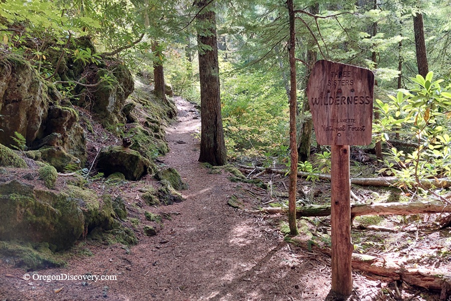
The loop is about 1.6 miles with approximately 170 feet of elevation gain. It enters the Three Sisters Wilderness right after the trailhead.
The trail can be walked in either direction, and each offers a somewhat different experience.
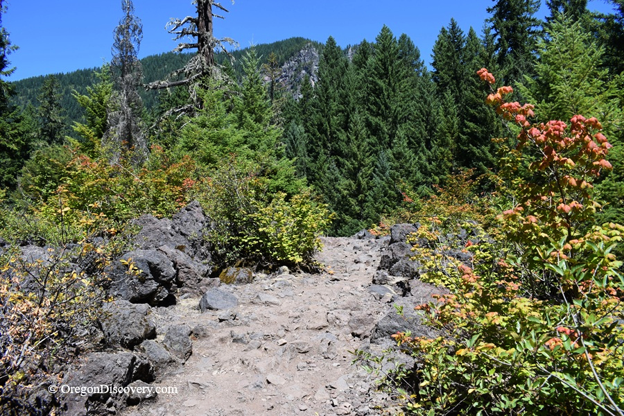
Proxy Falls Hiking Trail
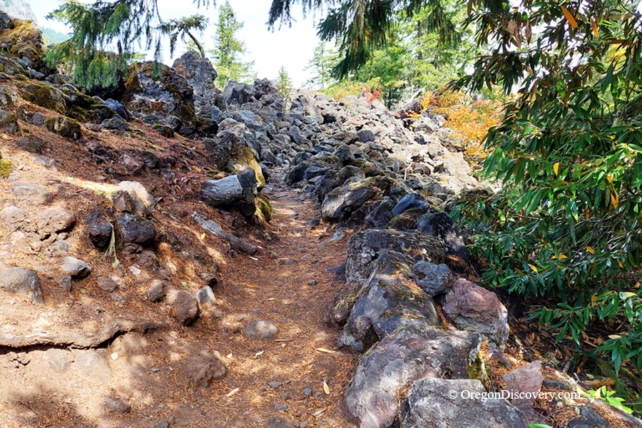
If you go right from the trailhead, the trail crosses the lava flow first. This section is rockier and a bit more challenging, but it's also one of the best parts of the hike.
The trail climbs onto the Collier Cone lava flow, where large volcanic rocks cover the ground. Trees and shrubs have slowly taken root among the rough lava, so you get dark rock and green forest side by side.
In geological terms, the lava flow is young, only about 1,600 years old. It traveled a long distance from its source and formed a rough, uneven surface as it cooled.
The trail crosses the far end of the flow, so you walk right across land made by a fairly recent eruption.
After the lava, the trail returns to the forest and continues toward the waterfalls.
If you go left from the trailhead, the start is easier and more forested. You reach the waterfalls before the rockiest part of the lava.
If you have time, hike the whole loop instead of walking to one waterfall and turning around. Together, the lava, the old-growth forest, and the two waterfalls make this short hike worth it.
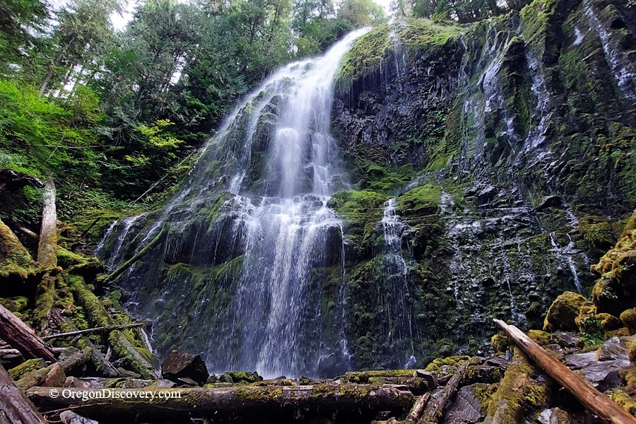
Lower Proxy Falls
The bigger of the two waterfalls is Proxy Falls. Most people call it Lower Proxy Falls to tell it apart from Upper Proxy Falls.
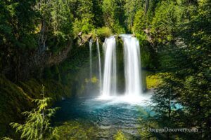
A short spur leads to a viewpoint. Proxy Creek drops about 225 feet in a wide, delicate veil over a mossy cliff surrounded by forest. Long ago, glaciers carved the main valley much deeper than Proxy Creek's side valley. That left the creek in a "hanging valley," so it pours over the cliff's edge.
The main viewpoint gives you a great view of the falls. A steep, eroded path continues to the base if you want a closer look, but it's much rougher than the main trail. It can be slippery, and you may need to cross the creek on a log.
Lower Proxy Falls: A 226-Foot Waterfall in the Three Sisters Wilderness, Oregon
Upper Proxy Falls
The other waterfall on the loop is Upper Proxy Falls. It's smaller, but it's even more unique.
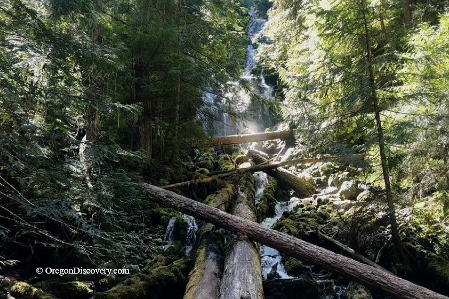
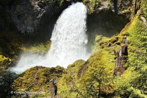
Upper Proxy Falls drops about 130 feet into the forest. Trees and fallen logs partly hide it, but the best part is at the bottom.
The water collects in a pool with no visible outlet. Instead of flowing away as a stream, it sinks into the porous lava. The water is thought to travel underground and feed Lost Creek.
So on one short loop, you see two waterfalls that end in very different ways. Proxy Creek continues to flow below Lower Proxy Falls, while the water at Upper Proxy Falls disappears into the rock.
Upper Proxy Falls, Oregon: The Waterfall That Disappears Into Lava
Lava, Waterfalls, and Glaciers
The Proxy Falls Loop is almost like a small geology lesson.
The lava is young, but the waterfalls come from an older landscape shaped by glaciers.
The volcanic rock also controls where water can flow, both above ground and below.
Trail Conditions and Permits
Although the Proxy Falls Loop is short, expect rocky and uneven terrain, especially where the trail crosses the lava flow. Roots, rocks, and wet surfaces can make parts of the trail slippery.
The rough route to the base of Lower Proxy Falls is more difficult than the main loop. You can enjoy a view of the falls through the forest. From there, a rougher route leads to the base. If you decide to go closer, wear sturdy shoes and be prepared to cross the creek on a fallen log. Make safe decisions.
Proxy Falls is a popular destination, especially during summer and early fall.
If you have enough time, hike the complete loop rather than visiting only one waterfall. The combination of lava, forest, glaciers, and two very different waterfalls is what makes the Proxy Falls Trail special.
🔵 McKenzies Highway 242 is seasonal and usually closed to cars in winter. Vehicles longer than 35 feet aren't allowed on it. Check road conditions at TripCheck.com before you go.
Camping & Lodging near Proxy Falls Trailhead
Alder Springs Campground is the closest campground to the Proxy Falls trailhead, about 2 miles east on Highway 242. It has 6 tent-only campsites. All sites are available on a first-come, first-served basis.
The campground has picnic tables, fire rings, and a vault toilet. There is no drinking water, so bring plenty of your own. You will also need to bring firewood.
Looking for a more comfortable place to stay?
Clear Lake Resort is another nearby lodging option, located about 2 miles from the Proxy Falls trail area. It offers cabins and other accommodations near beautiful Clear Lake.
Belknap Hot Springs Resort is 9 miles away and offers lodge rooms plus hot mineral pools. Hike in the morning, soak in the afternoon.
Other lodging options are available in Bend or Eugene.
Proxy Falls Trail | Facts
Open: Seasonally, roughly late June through mid-November. Highway 242 closes for snow
Managed by: U.S. Forest Service, Willamette National Forest, McKenzie River Ranger District
Amenities: A vault toilet across the highway, picnic tables
Activities: Hiking, waterfall viewing, photography, and snowshoeing in winter
Distance from the parking: About 1.6-2.4 miles for the full loop and side trails
Road access: Any passenger vehicle
Day-use fees: Yes, or a Northwest Forest Pass or America the Beautiful Pass
Elevation: Ranges from about 3,000 ft (914 m) to 3,300 ft (1,006 m)
Proxy Falls Trailhead is located:
- 48 miles east of Eugene
- 50 miles southwest of Bend
- 158 miles southeast of Portland.
Adventures Nearby



Directions to Proxy Falls Trailhead
From I-5,
- Take exit 194A in Eugene for Highway 126 East toward Springfield
- Drive east for about 60 miles to Highway 242
- Turn right onto Highway 242 (Old McKenzie Highway), near Belknap Hot Springs
- Follow Highway 242 for 9 miles to the sign for the Proxy Falls Trailhead.
- The trailhead is on the east side of the road.
Cell service can be limited in this area, so save your directions or download and offline map before you leave.